13 Bartkus Farm Concord, MA 01742
Estimated Value: $1,625,641 - $2,351,000
4
Beds
5
Baths
4,350
Sq Ft
$420/Sq Ft
Est. Value
About This Home
This home is located at 13 Bartkus Farm, Concord, MA 01742 and is currently estimated at $1,827,910, approximately $420 per square foot. 13 Bartkus Farm is a home located in Middlesex County with nearby schools including Thoreau Elementary School, Concord Middle School, and The Fenn School.
Ownership History
Date
Name
Owned For
Owner Type
Purchase Details
Closed on
Mar 18, 2002
Sold by
Eisenstat Russell A and Eisenstat Stephanie A
Bought by
Shah Anil Ratanshi
Current Estimated Value
Home Financials for this Owner
Home Financials are based on the most recent Mortgage that was taken out on this home.
Original Mortgage
$700,000
Outstanding Balance
$289,033
Interest Rate
7.04%
Mortgage Type
Purchase Money Mortgage
Estimated Equity
$1,538,877
Create a Home Valuation Report for This Property
The Home Valuation Report is an in-depth analysis detailing your home's value as well as a comparison with similar homes in the area
Home Values in the Area
Average Home Value in this Area
Purchase History
| Date | Buyer | Sale Price | Title Company |
|---|---|---|---|
| Shah Anil Ratanshi | $923,000 | -- |
Source: Public Records
Mortgage History
| Date | Status | Borrower | Loan Amount |
|---|---|---|---|
| Open | Shah Anil Ratanshi | $375,000 | |
| Open | Shah Anil Ratanshi | $700,000 |
Source: Public Records
Tax History Compared to Growth
Tax History
| Year | Tax Paid | Tax Assessment Tax Assessment Total Assessment is a certain percentage of the fair market value that is determined by local assessors to be the total taxable value of land and additions on the property. | Land | Improvement |
|---|---|---|---|---|
| 2025 | $210 | $1,582,400 | $0 | $1,582,400 |
| 2024 | $20,000 | $1,523,200 | $0 | $1,523,200 |
| 2023 | $18,770 | $1,448,300 | $0 | $1,448,300 |
| 2022 | $18,664 | $1,264,500 | $0 | $1,264,500 |
| 2021 | $14,465 | $982,700 | $0 | $982,700 |
| 2020 | $16,530 | $1,161,600 | $0 | $1,161,600 |
| 2019 | $16,326 | $1,150,500 | $0 | $1,150,500 |
| 2018 | $15,076 | $1,055,000 | $0 | $1,055,000 |
| 2017 | $14,906 | $1,059,400 | $0 | $1,059,400 |
| 2016 | $15,336 | $1,101,700 | $0 | $1,101,700 |
| 2015 | $14,733 | $1,031,000 | $0 | $1,031,000 |
Source: Public Records
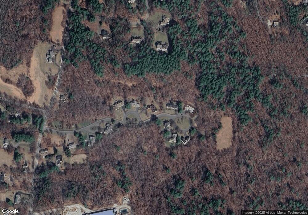
Map
Nearby Homes
- 495 Hugh Cargill Rd
- 1 Garrison Way Unit 1
- 232 Baldwin Rd
- 210 Monument Farm Rd
- 1437-3 Monument St
- 20 Flint Rd
- 0 Heald Rd
- 19 Whippoorwill Ln
- 0 Judy Farm Rd
- 104 Channing Rd
- 875 Acton St
- 6 Bittersweet Ln
- 134 Pope Rd
- 17 Northbriar Rd
- 1420 Curve St
- 7 Blue Heron Way
- 10 Blue Heron Way Unit 10
- 10 Blue Heron Way
- 927 Main St
- 27 Hartland Way Unit 309
- 17 Bartkus Farm Unit R
- 8 Bartkus Farm Unit B
- 13 Bartkus Farm Unit A
- 17 Bartkus Farm
- 8 Bartkus Farm
- 16 Bartkus Farm
- 18 Bartkus Farm Unit B
- 18 Bartkus Farm Unit R
- 18 Bartkus Farm
- 14 Bartkus Farm
- 15 Bartkus Farm
- 11 Bartkus Farm
- 9 Bartkus Farm
- 9 Bartkus Farm
- 6 Bartkus Farm
- 97 Buttrick Ln
- 105 Buttrick Ln
- 2 Bartkus Farm
- 93 Buttrick Ln
- 1764 Lowell Rd