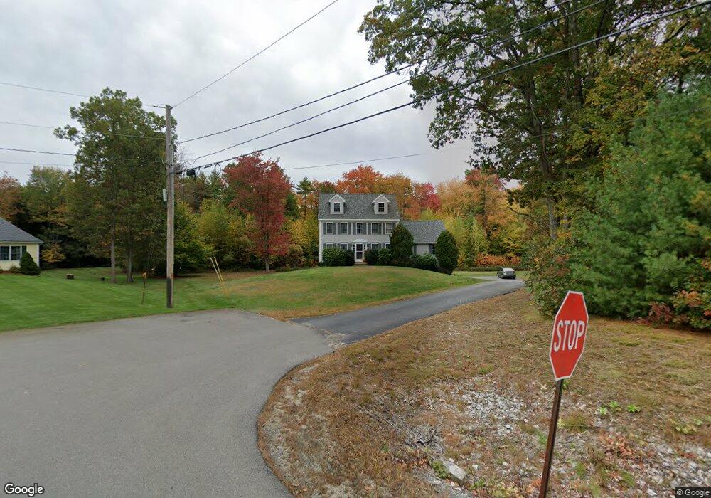
13 Brenner Dr Newton, NH 03858
Estimated Value: $730,714 - $778,000
3
Beds
3
Baths
2,807
Sq Ft
$267/Sq Ft
Est. Value
About This Home
This home is located at 13 Brenner Dr, Newton, NH 03858 and is currently estimated at $749,679, approximately $267 per square foot. 13 Brenner Dr is a home located in Rockingham County with nearby schools including Memorial School, Sanborn Regional Middle School, and Sanborn Regional High School.
Ownership History
Date
Name
Owned For
Owner Type
Purchase Details
Closed on
Mar 31, 2025
Sold by
Anderson Donna P and Anderson David E
Bought by
Anderson Ft and Anderson
Current Estimated Value
Purchase Details
Closed on
Apr 28, 2000
Sold by
Bojack Custom Homes In
Bought by
Anderson David E and Anderson Donna P
Create a Home Valuation Report for This Property
The Home Valuation Report is an in-depth analysis detailing your home's value as well as a comparison with similar homes in the area
Home Values in the Area
Average Home Value in this Area
Purchase History
| Date | Buyer | Sale Price | Title Company |
|---|---|---|---|
| Anderson Ft | -- | None Available | |
| Anderson Ft | -- | None Available | |
| Anderson David E | $217,900 | -- | |
| Anderson David E | $217,900 | -- |
Source: Public Records
Mortgage History
| Date | Status | Borrower | Loan Amount |
|---|---|---|---|
| Previous Owner | Anderson David E | $230,000 | |
| Previous Owner | Anderson David E | $100,000 | |
| Previous Owner | Anderson David E | $85,000 |
Source: Public Records
Tax History
| Year | Tax Paid | Tax Assessment Tax Assessment Total Assessment is a certain percentage of the fair market value that is determined by local assessors to be the total taxable value of land and additions on the property. | Land | Improvement |
|---|---|---|---|---|
| 2024 | $10,950 | $431,600 | $145,600 | $286,000 |
| 2023 | $10,622 | $431,600 | $145,600 | $286,000 |
| 2022 | $9,707 | $431,600 | $145,600 | $286,000 |
| 2021 | $9,020 | $431,600 | $145,600 | $286,000 |
| 2020 | $9,020 | $431,600 | $145,600 | $286,000 |
| 2019 | $9,510 | $360,500 | $104,100 | $256,400 |
| 2018 | $9,222 | $360,500 | $104,100 | $256,400 |
| 2017 | $9,582 | $360,500 | $104,100 | $256,400 |
| 2016 | $9,431 | $360,500 | $104,100 | $256,400 |
| 2015 | $9,385 | $358,600 | $104,100 | $254,500 |
| 2014 | $9,338 | $360,000 | $104,100 | $255,900 |
| 2013 | $9,108 | $360,000 | $104,100 | $255,900 |
Source: Public Records
Map
Nearby Homes
- 3 Brenner Dr
- 8 Chongor Dr
- 15 Bootland Farm Rd
- 34-A Smith Corner Rd
- 12 Hemlock Dr
- 3 Bent Grass Cir Unit 34
- 9 Crane Crossing Rd Unit 3-2
- 52 Whittier St
- 62 & 43 Wilders Grove Rd
- 5 Ridge Rd
- 56 Kingston Rd Unit B
- 214 A Plasitow Rd
- 19 Partridge Ln
- 51 Pond St
- 12 W Shore Park Rd
- 34 Bel's Way
- 3 Lukes Way
- 5 Valley Ln
- 240 Main St
- 19 Maple Ave
Your Personal Tour Guide
Ask me questions while you tour the home.