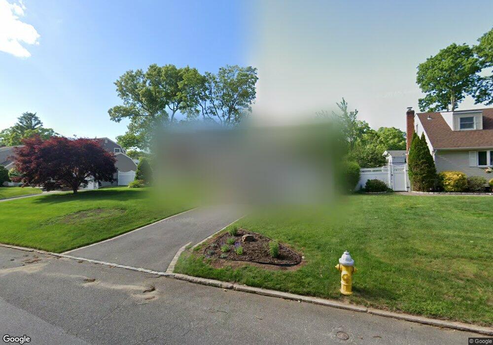
13 Brook Ln Smithtown, NY 11787
Estimated Value: $654,000 - $749,000
4
Beds
2
Baths
1,286
Sq Ft
$543/Sq Ft
Est. Value
About This Home
This home is located at 13 Brook Ln, Smithtown, NY 11787 and is currently estimated at $698,643, approximately $543 per square foot. 13 Brook Ln is a home located in Suffolk County with nearby schools including Mount Pleasant Elementary School, Smithtown Christian School, and St Patrick Elementary School.
Ownership History
Date
Name
Owned For
Owner Type
Purchase Details
Closed on
Feb 28, 2017
Sold by
Duprez Carol and Walker Hugh
Bought by
Morgenstern Kevin S and Morgenstern Corinne M
Current Estimated Value
Purchase Details
Closed on
Feb 18, 2016
Sold by
Walker Brunhilda M
Bought by
Duprez Carol and Walker Hugh
Purchase Details
Closed on
May 1, 1996
Sold by
Quinn Veronica and Ward Myles F
Bought by
Bamonte Paul E and Bamonte Sandra A
Create a Home Valuation Report for This Property
The Home Valuation Report is an in-depth analysis detailing your home's value as well as a comparison with similar homes in the area
Home Values in the Area
Average Home Value in this Area
Purchase History
| Date | Buyer | Sale Price | Title Company |
|---|---|---|---|
| Morgenstern Kevin S | $412,000 | None Available | |
| Duprez Carol | -- | None Available | |
| Bamonte Paul E | $136,000 | Chicago Title Insurance Co |
Source: Public Records
Tax History
| Year | Tax Paid | Tax Assessment Tax Assessment Total Assessment is a certain percentage of the fair market value that is determined by local assessors to be the total taxable value of land and additions on the property. | Land | Improvement |
|---|---|---|---|---|
| 2024 | $13,192 | $5,070 | $265 | $4,805 |
| 2023 | $13,192 | $5,070 | $265 | $4,805 |
| 2022 | $2,319 | $5,070 | $265 | $4,805 |
| 2021 | $2,319 | $5,070 | $265 | $4,805 |
| 2020 | $12,565 | $5,070 | $265 | $4,805 |
| 2019 | $12,565 | $0 | $0 | $0 |
| 2018 | -- | $5,070 | $265 | $4,805 |
| 2017 | $15,092 | $5,070 | $265 | $4,805 |
| 2016 | $2,331 | $4,490 | $265 | $4,225 |
| 2015 | -- | $4,490 | $265 | $4,225 |
| 2014 | -- | $4,490 | $265 | $4,225 |
Source: Public Records
Map
Nearby Homes
- 49 Lexington Ave
- 355 Route 111 Unit 6
- 355 Route 111 Unit 23
- 365 Route 111 Unit A2
- 6 Keystone Ct
- 66 Darling Ave
- 96 Brooksite Dr
- 220 Larch Ln
- 175 Evergreen Ave
- 55 Waverly Ave
- 11 Plantation Dr
- 65 Birchbrook Dr
- 2 W Pond Ct
- 57 Birchbrook Dr
- 31 Brooksite Dr
- 639 Townline Rd
- 1 Park Ct
- 7 Flamingo Dr
- 378 Mac Arthur Blvd
- 1055 Village Dr Unit 1055
Your Personal Tour Guide
Ask me questions while you tour the home.