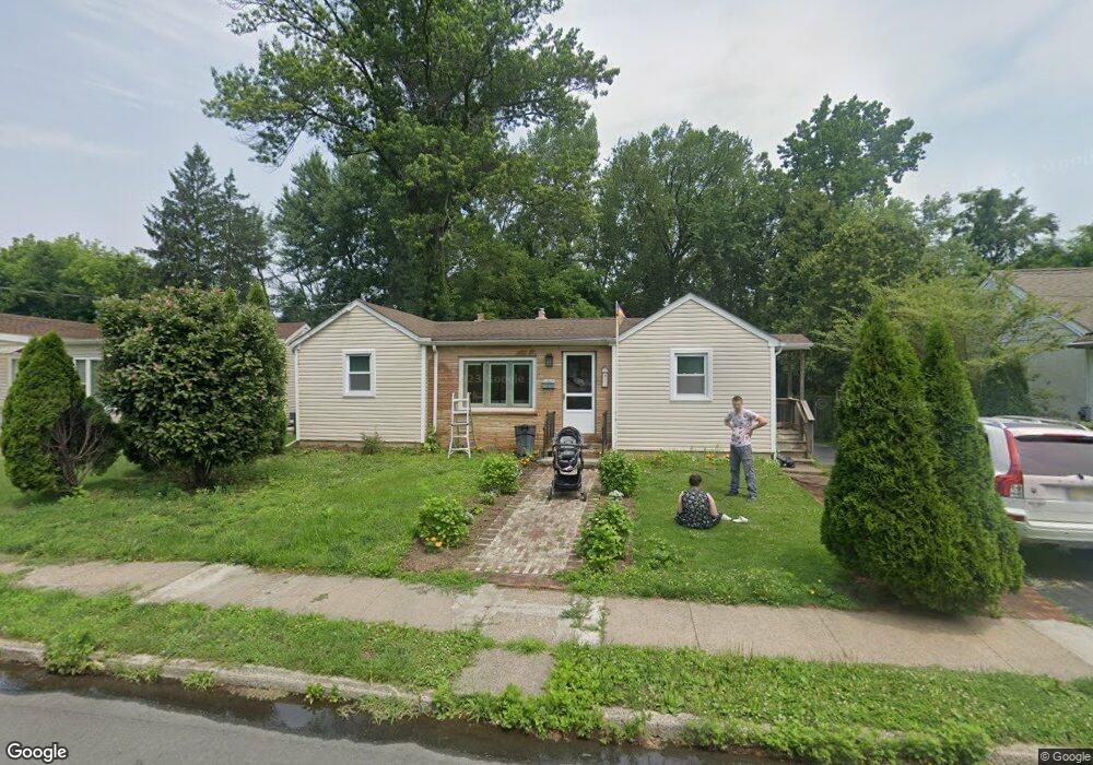
13 Bruce Ln Ewing, NJ 08638
Glendale NeighborhoodEstimated Value: $263,621 - $301,000
2
Beds
1
Bath
944
Sq Ft
$298/Sq Ft
Est. Value
About This Home
This home is located at 13 Bruce Ln, Ewing, NJ 08638 and is currently estimated at $280,905, approximately $297 per square foot. 13 Bruce Ln is a home located in Mercer County with nearby schools including Ewing High School, Paul Robeson Charter School For The Humanities, and Trenton Stem-To-Civics Charter School.
Ownership History
Date
Name
Owned For
Owner Type
Purchase Details
Closed on
Oct 21, 2008
Sold by
Us Bank
Bought by
Stawicki Edward
Current Estimated Value
Purchase Details
Closed on
Aug 1, 2008
Sold by
Kevin C Larkin Sheriff Of Mercer
Bought by
Us Bank Natl Assoc
Purchase Details
Closed on
Aug 18, 2006
Sold by
Horvath David
Bought by
Johnson Barbara
Home Financials for this Owner
Home Financials are based on the most recent Mortgage that was taken out on this home.
Original Mortgage
$161,600
Interest Rate
6.83%
Purchase Details
Closed on
Feb 20, 2003
Sold by
Povio Emily
Bought by
Horvath David and Reyes Josephine
Home Financials for this Owner
Home Financials are based on the most recent Mortgage that was taken out on this home.
Original Mortgage
$106,400
Interest Rate
5.75%
Create a Home Valuation Report for This Property
The Home Valuation Report is an in-depth analysis detailing your home's value as well as a comparison with similar homes in the area
Home Values in the Area
Average Home Value in this Area
Purchase History
| Date | Buyer | Sale Price | Title Company |
|---|---|---|---|
| Stawicki Edward | $126,500 | -- | |
| Us Bank Natl Assoc | -- | -- | |
| Johnson Barbara | $202,000 | -- | |
| Horvath David | $112,000 | -- |
Source: Public Records
Mortgage History
| Date | Status | Borrower | Loan Amount |
|---|---|---|---|
| Previous Owner | Johnson Barbara | $161,600 | |
| Previous Owner | Horvath David | $106,400 |
Source: Public Records
Tax History
| Year | Tax Paid | Tax Assessment Tax Assessment Total Assessment is a certain percentage of the fair market value that is determined by local assessors to be the total taxable value of land and additions on the property. | Land | Improvement |
|---|---|---|---|---|
| 2025 | $4,637 | $117,900 | $43,800 | $74,100 |
| 2024 | $4,359 | $117,900 | $43,800 | $74,100 |
| 2023 | $4,359 | $117,900 | $43,800 | $74,100 |
| 2022 | $4,241 | $117,900 | $43,800 | $74,100 |
| 2021 | $4,137 | $117,900 | $43,800 | $74,100 |
| 2020 | $4,078 | $117,900 | $43,800 | $74,100 |
| 2019 | $3,972 | $117,900 | $43,800 | $74,100 |
| 2018 | $3,935 | $74,500 | $29,700 | $44,800 |
| 2017 | $4,027 | $74,500 | $29,700 | $44,800 |
| 2016 | $3,972 | $74,500 | $29,700 | $44,800 |
| 2015 | $3,919 | $74,500 | $29,700 | $44,800 |
| 2014 | $3,909 | $74,500 | $29,700 | $44,800 |
Source: Public Records
Map
Nearby Homes
- 35 Rosedale Ave
- 4 New Hillcrest Ave
- 1410 Pennington Rd
- 42 Hazelhurst Ave
- 43 Iowana Ave
- 17 Hillman Ave
- 91 Groveland Ave
- 124 New Hillcrest Ave
- 643 Concord Cir
- 50 Groveland Ave
- 257 Homecrest Ave
- 24 Keswick Ave
- 2 Mccarthy Dr
- 100 Homecrest Ave
- 9 Weston Rd
- 0 Dryden Ave
- 24 Glen Stewart Dr
- 0 Beechwood Dr Unit NJME2058552
- 124 Hawthorne Ave
- 318 Gardner Ave
Your Personal Tour Guide
Ask me questions while you tour the home.