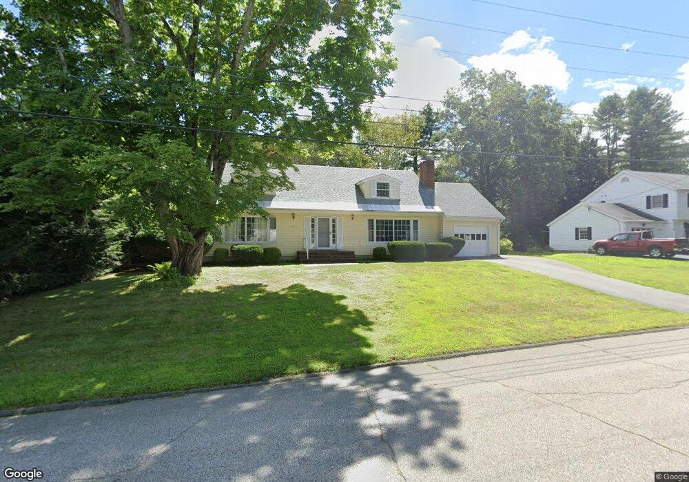
13 Burnham Ave Durham, NH 03824
Estimated Value: $717,000 - $764,000
4
Beds
2
Baths
2,408
Sq Ft
$308/Sq Ft
Est. Value
About This Home
This home is located at 13 Burnham Ave, Durham, NH 03824 and is currently estimated at $741,817, approximately $308 per square foot. 13 Burnham Ave is a home located in Strafford County with nearby schools including Mast Way School, Oyster River Middle School, and Oyster River High School.
Ownership History
Date
Name
Owned For
Owner Type
Purchase Details
Closed on
Jun 11, 2012
Sold by
Kelly Daniel and Kelly Wendy A
Bought by
Daniel and Daniel Wendy A
Current Estimated Value
Purchase Details
Closed on
Jun 22, 2005
Sold by
Betty J Miller T
Bought by
Kelly Wendy Anne and Kelly Daniel
Create a Home Valuation Report for This Property
The Home Valuation Report is an in-depth analysis detailing your home's value as well as a comparison with similar homes in the area
Home Values in the Area
Average Home Value in this Area
Purchase History
We collect this data history from publicly available records. To have your information removed, we recommend requesting removal directly through your county’s website.
| Date | Buyer | Sale Price | Title Company |
|---|---|---|---|
| Daniel | -- | -- | |
| Kelly Wendy Anne | $374,900 | -- |
Source: Public Records
Tax History
| Year | Tax Paid | Tax Assessment Tax Assessment Total Assessment is a certain percentage of the fair market value that is determined by local assessors to be the total taxable value of land and additions on the property. | Land | Improvement |
|---|---|---|---|---|
| 2025 | $12,124 | $642,500 | $294,000 | $348,500 |
| 2024 | $11,682 | $574,600 | $251,800 | $322,800 |
| 2023 | $11,768 | $574,600 | $251,800 | $322,800 |
| 2022 | $9,781 | $336,800 | $144,500 | $192,300 |
| 2021 | $9,397 | $336,700 | $144,400 | $192,300 |
| 2020 | $9,337 | $336,700 | $144,400 | $192,300 |
| 2019 | $9,236 | $336,700 | $144,400 | $192,300 |
| 2018 | $9,024 | $336,700 | $144,400 | $192,300 |
| 2017 | $8,818 | $287,800 | $93,200 | $194,600 |
| 2016 | $8,556 | $287,800 | $93,200 | $194,600 |
| 2015 | $8,591 | $287,800 | $93,200 | $194,600 |
| 2014 | $8,784 | $287,800 | $93,200 | $194,600 |
| 2013 | $8,752 | $287,800 | $93,200 | $194,600 |
Source: Public Records
Map
Nearby Homes
- 48 Mill Pond Rd
- 11 Burnham Ave
- 15 Burnham Ave
- 46 Mill Pond Rd
- 12 Burnham Ave
- 50 Mill Pond Rd
- 10 Burnham Ave
- 14 Burnham Ave
- 49 Oyster River Rd
- 9 Burnham Ave
- 44 Mill Pond Rd
- 51 Oyster River Rd
- 11 Thompson Ln
- 11 Thompson Ln
- 13 Thompson Ln
- 47 Oyster River Rd
- 52 Mill Pond Rd
- 8 Burnham Ave
- 7 Burnham Ave
- 9 Thompson Ln
Your Personal Tour Guide
Ask me questions while you tour the home.