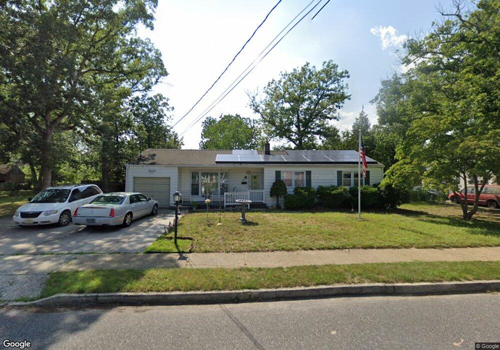
13 Camac Ave Mays Landing, NJ 08330
Estimated Value: $321,000 - $432,000
--
Bed
--
Bath
2,017
Sq Ft
$182/Sq Ft
Est. Value
About This Home
This home is located at 13 Camac Ave, Mays Landing, NJ 08330 and is currently estimated at $367,970, approximately $182 per square foot. 13 Camac Ave is a home located in Atlantic County with nearby schools including Joseph Shaner School, George L. Hess Educational Complex, and William Davies Middle School.
Ownership History
Date
Name
Owned For
Owner Type
Purchase Details
Closed on
Jun 11, 2020
Sold by
Herse George S and Estate Of Diane R Herse
Bought by
Herse George S and Taylor Donna J
Current Estimated Value
Purchase Details
Closed on
Nov 17, 2006
Sold by
Murray Lawrence
Bought by
Michelle Moffett
Home Financials for this Owner
Home Financials are based on the most recent Mortgage that was taken out on this home.
Original Mortgage
$114,000
Outstanding Balance
$67,999
Interest Rate
6.36%
Mortgage Type
Purchase Money Mortgage
Estimated Equity
$299,971
Purchase Details
Closed on
Nov 8, 1989
Sold by
Herse Diane and Herse George
Bought by
Herse Diane and Herse George
Create a Home Valuation Report for This Property
The Home Valuation Report is an in-depth analysis detailing your home's value as well as a comparison with similar homes in the area
Home Values in the Area
Average Home Value in this Area
Purchase History
| Date | Buyer | Sale Price | Title Company |
|---|---|---|---|
| Herse George S | -- | None Available | |
| Michelle Moffett | $190,000 | -- | |
| Herse Diane | $100 | -- |
Source: Public Records
Mortgage History
| Date | Status | Borrower | Loan Amount |
|---|---|---|---|
| Open | Michelle Moffett | $114,000 |
Source: Public Records
Tax History Compared to Growth
Tax History
| Year | Tax Paid | Tax Assessment Tax Assessment Total Assessment is a certain percentage of the fair market value that is determined by local assessors to be the total taxable value of land and additions on the property. | Land | Improvement |
|---|---|---|---|---|
| 2025 | $6,560 | $191,200 | $43,200 | $148,000 |
| 2024 | $6,560 | $191,200 | $43,200 | $148,000 |
| 2023 | $6,168 | $191,200 | $43,200 | $148,000 |
| 2022 | $6,168 | $191,200 | $43,200 | $148,000 |
| 2021 | $6,155 | $191,200 | $43,200 | $148,000 |
| 2020 | $6,155 | $191,200 | $43,200 | $148,000 |
| 2019 | $6,170 | $191,200 | $43,200 | $148,000 |
| 2018 | $5,954 | $191,200 | $43,200 | $148,000 |
| 2017 | $5,860 | $191,200 | $43,200 | $148,000 |
| 2016 | $5,696 | $191,200 | $43,200 | $148,000 |
| 2015 | $5,503 | $151,600 | $43,200 | $108,400 |
| 2014 | $4,403 | $167,600 | $51,400 | $116,200 |
Source: Public Records
Map
Nearby Homes
- 6126 Longwood Ave
- 80 Mill St
- Rt 50 and Old Mays Landing Rd
- 6140 Robin Dr
- 204 Route 50
- 535 Park Rd
- 6251 Old Harding Hwy
- 0 3rd St
- 15 Lowell St
- 565 Park Rd
- 5745 2nd St
- 526 Bainbridge Ave
- 225 Old River Rd
- 6206 Roberts Ave
- 0 Harding Hwy Unit 597638
- 0 Harding Hwy Unit NJAC2019438
- 246 Old River Rd
- 6302 Palmer Ave
- 717 Route 50
- 1305 Matthews Ave