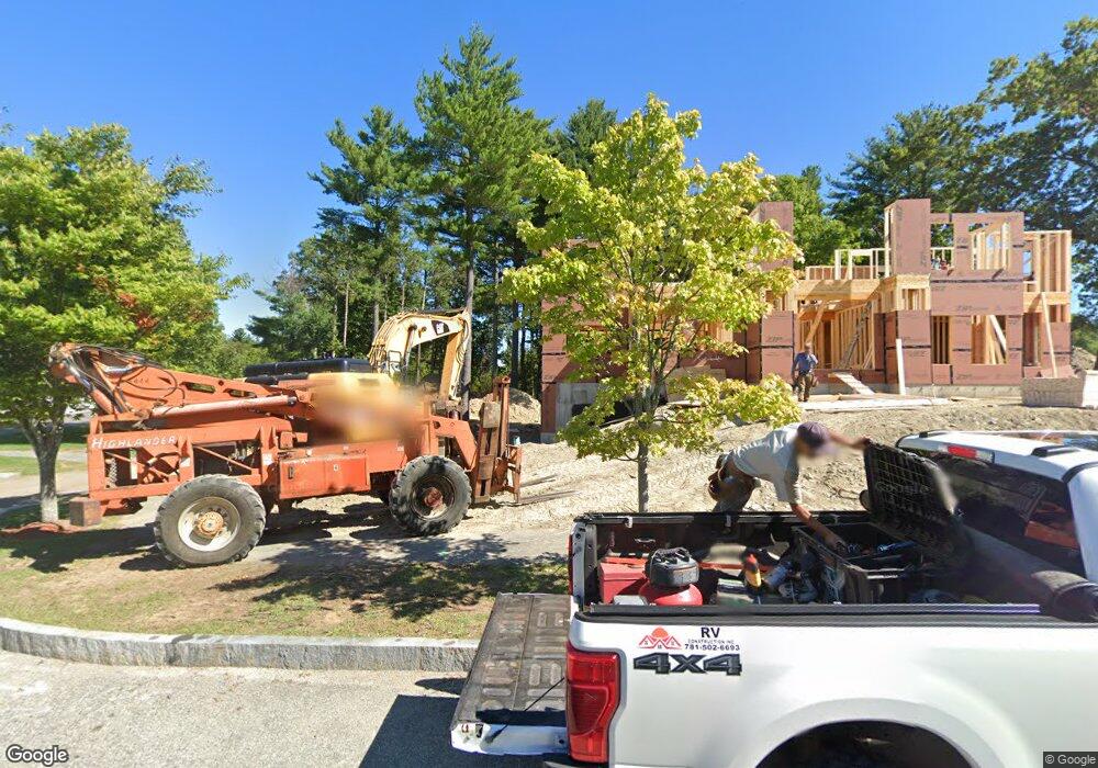
13 Cart Path Ln Lexington, MA 02421
Follen Heights NeighborhoodEstimated Value: $2,794,000 - $4,000,000
6
Beds
7
Baths
5,041
Sq Ft
$681/Sq Ft
Est. Value
About This Home
This home is located at 13 Cart Path Ln, Lexington, MA 02421 and is currently estimated at $3,433,657, approximately $681 per square foot. 13 Cart Path Ln is a home located in Middlesex County with nearby schools including Bowman Elementary School, Jonas Clarke Middle School, and Lexington High School.
Ownership History
Date
Name
Owned For
Owner Type
Purchase Details
Closed on
Jul 29, 2022
Sold by
Lexington August Rt and Lerman
Bought by
Khondker Mahbuba and Khondker Zakaria
Current Estimated Value
Home Financials for this Owner
Home Financials are based on the most recent Mortgage that was taken out on this home.
Original Mortgage
$3,150,000
Outstanding Balance
$3,010,797
Interest Rate
5.81%
Mortgage Type
Purchase Money Mortgage
Estimated Equity
$422,860
Create a Home Valuation Report for This Property
The Home Valuation Report is an in-depth analysis detailing your home's value as well as a comparison with similar homes in the area
Home Values in the Area
Average Home Value in this Area
Purchase History
| Date | Buyer | Sale Price | Title Company |
|---|---|---|---|
| Khondker Mahbuba | $3,650,000 | None Available |
Source: Public Records
Mortgage History
| Date | Status | Borrower | Loan Amount |
|---|---|---|---|
| Open | Khondker Mahbuba | $3,150,000 |
Source: Public Records
Tax History Compared to Growth
Tax History
| Year | Tax Paid | Tax Assessment Tax Assessment Total Assessment is a certain percentage of the fair market value that is determined by local assessors to be the total taxable value of land and additions on the property. | Land | Improvement |
|---|---|---|---|---|
| 2025 | $38,268 | $3,129,000 | $938,000 | $2,191,000 |
| 2024 | $26,105 | $2,131,000 | $916,000 | $1,215,000 |
| 2023 | $6,435 | $495,000 | $495,000 | $0 |
| 2022 | $6,210 | $450,000 | $450,000 | $0 |
| 2021 | $6,159 | $428,000 | $428,000 | $0 |
| 2020 | $6,013 | $428,000 | $428,000 | $0 |
| 2019 | $5,761 | $408,000 | $408,000 | $0 |
| 2018 | $5,563 | $389,000 | $389,000 | $0 |
| 2017 | $5,202 | $359,000 | $359,000 | $0 |
| 2016 | $4,993 | $342,000 | $342,000 | $0 |
| 2015 | $4,621 | $311,000 | $311,000 | $0 |
| 2014 | $4,281 | $276,000 | $276,000 | $0 |
Source: Public Records
Map
Nearby Homes
- 87 Clocktower Dr Unit 2207
- 170 Clocktower Dr Unit 5103
- 107 Clocktower Dr Unit 3302
- 65 Woburn St
- 750 Trapelo Rd
- 23 Wight St
- 1105 Lexington St Unit 102
- 311 Concord Ave
- 55 Circle Dr
- 30 Jacqueline Rd Unit C
- 155 Marguerite Ave
- 5 April Ln Unit 12
- 116 Raffaele Dr
- 30 Wampum Ave
- 129 Lake St
- 6 Linc Cole Ln
- 14 Piedmont Ave
- 70 Rosewood Dr
- 28 College Farm Rd Unit 2
- 34 Allen St
- 11 Cart Path Ln
- 17 Cart Path Ln
- 19 Cart Path Ln
- 15 Cart Path Ln
- 9 Cart Path Ln
- 16 Cart Path Ln
- 20 Cart Path Ln
- 16 Cart Path Ln
- 14 Cart Path Ln
- 7 Cart Path Ln
- 12 Cart Path Ln
- 5 Cart Path Ln
- 14 Stage Coach Rd
- 12 Stage Coach Rd
- 10 Cart Path Ln
- 87 Clocktower Dr Unit 204
- 87 Clocktower Dr Unit 108
- 87 Clocktower Dr Unit 208
- 87 Clocktower Dr Unit 209
- 87 Clocktower Dr Unit 2409