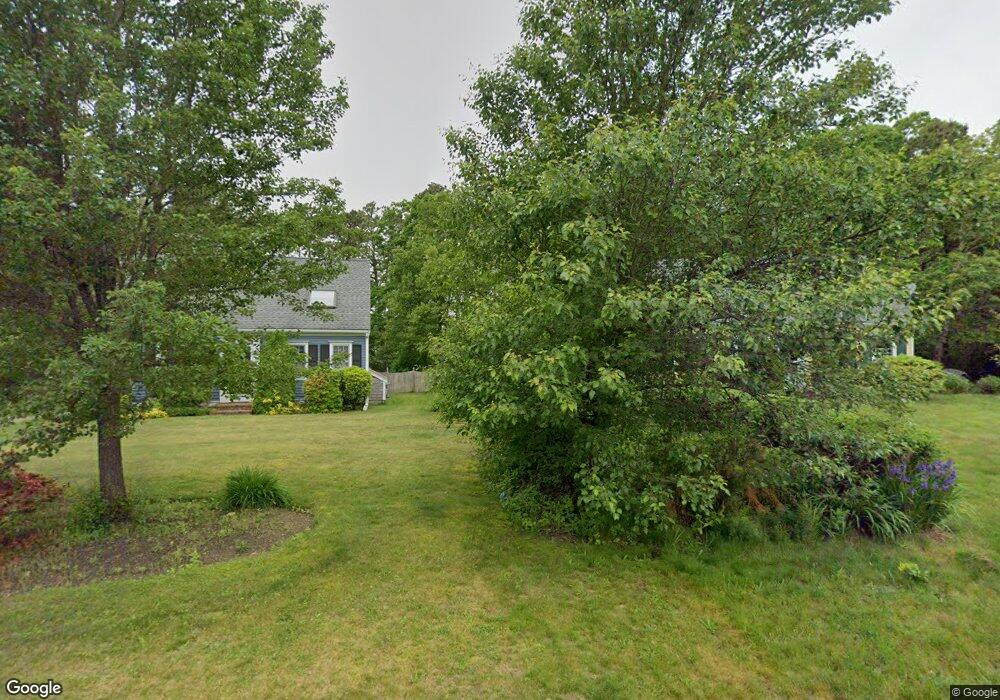
13 Castle Ln Unit SAND Sandwich, MA 02563
Estimated Value: $770,000 - $1,098,000
2
Beds
1
Bath
528
Sq Ft
$1,917/Sq Ft
Est. Value
About This Home
This home is located at 13 Castle Ln Unit SAND, Sandwich, MA 02563 and is currently estimated at $1,011,996, approximately $1,916 per square foot. 13 Castle Ln Unit SAND is a home located in Barnstable County with nearby schools including Sandwich Middle High School, Montessori School of Sandwich, and Riverview School.
Ownership History
Date
Name
Owned For
Owner Type
Purchase Details
Closed on
Oct 29, 2018
Sold by
Grinley Patrecia E
Bought by
Lydon Kalie L and Cram Ryan
Current Estimated Value
Purchase Details
Closed on
Nov 28, 1994
Sold by
Rockwell Wells and Rockwell Vivian D
Bought by
Grinley Patricia E
Home Financials for this Owner
Home Financials are based on the most recent Mortgage that was taken out on this home.
Original Mortgage
$116,000
Interest Rate
8.91%
Mortgage Type
Purchase Money Mortgage
Create a Home Valuation Report for This Property
The Home Valuation Report is an in-depth analysis detailing your home's value as well as a comparison with similar homes in the area
Home Values in the Area
Average Home Value in this Area
Purchase History
| Date | Buyer | Sale Price | Title Company |
|---|---|---|---|
| Lydon Kalie L | -- | -- | |
| Grinley Patricia E | $145,000 | -- |
Source: Public Records
Mortgage History
| Date | Status | Borrower | Loan Amount |
|---|---|---|---|
| Previous Owner | Grinley Patricia E | $116,000 |
Source: Public Records
Tax History Compared to Growth
Tax History
| Year | Tax Paid | Tax Assessment Tax Assessment Total Assessment is a certain percentage of the fair market value that is determined by local assessors to be the total taxable value of land and additions on the property. | Land | Improvement |
|---|---|---|---|---|
| 2025 | $10,887 | $1,030,000 | $928,400 | $101,600 |
| 2024 | $8,958 | $829,400 | $733,500 | $95,900 |
| 2023 | $5,987 | $520,600 | $433,400 | $87,200 |
| 2022 | $6,018 | $457,300 | $387,000 | $70,300 |
| 2021 | $2,510 | $391,700 | $329,100 | $62,600 |
| 2020 | $2,481 | $359,900 | $300,500 | $59,400 |
| 2019 | $5,089 | $355,400 | $301,500 | $53,900 |
| 2018 | $2,130 | $369,100 | $319,700 | $49,400 |
| 2017 | $0 | $365,900 | $319,800 | $46,100 |
| 2016 | $5,128 | $354,400 | $309,500 | $44,900 |
| 2015 | $5,476 | $369,500 | $325,900 | $43,600 |
Source: Public Records
Map
Nearby Homes
- 52 Windsor Rd
- 186 Quaker Meeting House Rd
- 25 Deerwood Dr
- 296 Cotuit Rd
- 193 Farmersville Rd
- 363 Service Rd
- 6 Woodvue Cir
- 5 Whiffletree Cir
- 5 Cardinal Rd
- 9 Bramble Bush Dr
- 7 Horseshoe Cir
- 44 Greenville Dr
- 15 Surrey Ln
- 9 Crestview Drive Extension
- 4 Royal Cir
- 86 Greenville Dr
- 8 Peters Pond Dr
- 1 Peggys Ln