13 Cove Rd Sandyston, NJ 07826
Estimated Value: $483,075 - $759,000
--
Bed
--
Bath
1,512
Sq Ft
$376/Sq Ft
Est. Value
About This Home
This home is located at 13 Cove Rd, Sandyston, NJ 07826 and is currently estimated at $569,019, approximately $376 per square foot. 13 Cove Rd is a home located in Sussex County with nearby schools including Sandyston-Walpack Consolidated School and Kittatinny Regional High School.
Ownership History
Date
Name
Owned For
Owner Type
Purchase Details
Closed on
Jun 19, 2019
Sold by
Virga Farrell and Virga Mary Ellen
Bought by
Virga Anthony J and Virga Farrell F
Current Estimated Value
Purchase Details
Closed on
Jun 27, 2016
Sold by
Terpstra Nicholas and Losavio Joseph H
Bought by
Virga Farrell and Virga Mary Ellen
Purchase Details
Closed on
Oct 1, 1998
Sold by
Losavio Frank and Losavio Norma S
Bought by
Terpstra Nicholas and Losavio Joseph J
Home Financials for this Owner
Home Financials are based on the most recent Mortgage that was taken out on this home.
Original Mortgage
$140,000
Interest Rate
6.92%
Create a Home Valuation Report for This Property
The Home Valuation Report is an in-depth analysis detailing your home's value as well as a comparison with similar homes in the area
Home Values in the Area
Average Home Value in this Area
Purchase History
| Date | Buyer | Sale Price | Title Company |
|---|---|---|---|
| Virga Anthony J | -- | None Available | |
| Virga Farrell | $372,500 | Chicago Title Ins Co | |
| Terpstra Nicholas | $200,000 | -- |
Source: Public Records
Mortgage History
| Date | Status | Borrower | Loan Amount |
|---|---|---|---|
| Previous Owner | Terpstra Nicholas | $140,000 |
Source: Public Records
Tax History Compared to Growth
Tax History
| Year | Tax Paid | Tax Assessment Tax Assessment Total Assessment is a certain percentage of the fair market value that is determined by local assessors to be the total taxable value of land and additions on the property. | Land | Improvement |
|---|---|---|---|---|
| 2025 | $8,437 | $267,000 | $87,500 | $179,500 |
| 2024 | $8,181 | $267,000 | $87,500 | $179,500 |
| 2023 | $8,181 | $267,000 | $87,500 | $179,500 |
| 2022 | $7,818 | $267,000 | $87,500 | $179,500 |
| 2021 | $7,575 | $267,000 | $87,500 | $179,500 |
| 2020 | $7,260 | $267,000 | $87,500 | $179,500 |
| 2019 | $6,945 | $267,000 | $87,500 | $179,500 |
| 2018 | $6,902 | $267,000 | $87,500 | $179,500 |
| 2017 | $6,784 | $267,000 | $87,500 | $179,500 |
| 2016 | $6,817 | $267,000 | $87,500 | $179,500 |
| 2015 | $6,582 | $267,000 | $87,500 | $179,500 |
| 2014 | $5,562 | $270,900 | $105,800 | $165,100 |
Source: Public Records
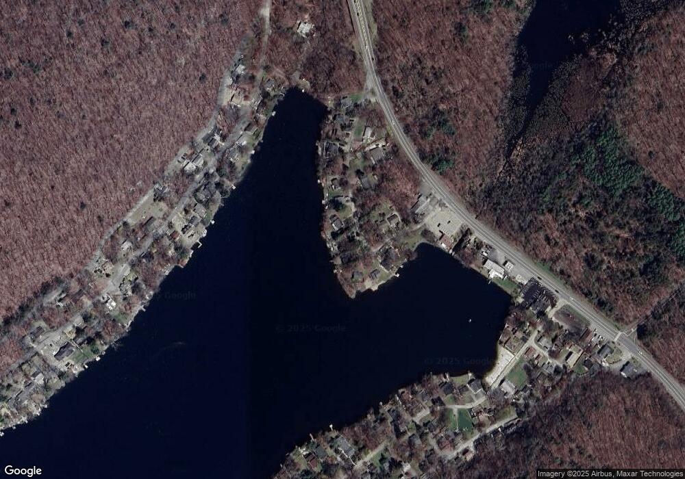
Map
Nearby Homes
- 9 Woods Rd
- 4 Lake Path 1
- 13 U S 206
- 27 Mountain Trail
- 461 U S Highway 206
- 95 Woods Rd
- 57 E Shore Trail
- 1 South Trail
- 9 Maple Ln
- 39 Stehr St
- 7 Laurel Ave
- 6 Woodlawn Ave
- 196 W Owassa Turnpike
- 4 Woodlawn Ave
- 15 Forest St
- 26 Mill Ln
- 19 E Shore Lake Owassa Rd
- 25 E Shore Lake Owassa Rd
- 78 E Shore Culver Rd
- 1 Lakeview Point Ave