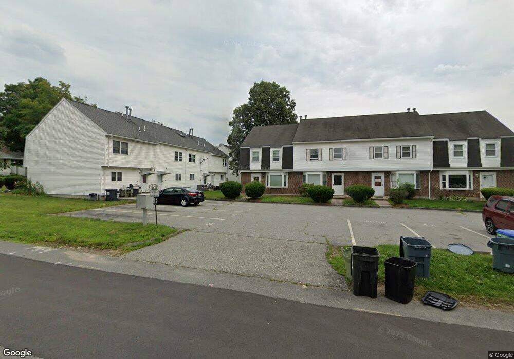
13 Curtis St Methuen, MA 01844
The East End NeighborhoodEstimated Value: $298,000 - $404,000
2
Beds
2
Baths
1,175
Sq Ft
$285/Sq Ft
Est. Value
About This Home
This home is located at 13 Curtis St, Methuen, MA 01844 and is currently estimated at $335,084, approximately $285 per square foot. 13 Curtis St is a home located in Essex County with nearby schools including Timony Grammar School, Methuen High School, and Community Day Charter Public School - Gateway.
Ownership History
Date
Name
Owned For
Owner Type
Purchase Details
Closed on
Dec 13, 1999
Sold by
Jacklin Charles G and Jacklin Claire M
Bought by
Abdulnour Camille E
Current Estimated Value
Home Financials for this Owner
Home Financials are based on the most recent Mortgage that was taken out on this home.
Original Mortgage
$54,400
Interest Rate
7.9%
Mortgage Type
Purchase Money Mortgage
Create a Home Valuation Report for This Property
The Home Valuation Report is an in-depth analysis detailing your home's value as well as a comparison with similar homes in the area
Home Values in the Area
Average Home Value in this Area
Purchase History
| Date | Buyer | Sale Price | Title Company |
|---|---|---|---|
| Abdulnour Camille E | $68,000 | -- |
Source: Public Records
Mortgage History
| Date | Status | Borrower | Loan Amount |
|---|---|---|---|
| Open | Abdulnour Camille E | $42,000 | |
| Closed | Abdulnour Camille E | $54,400 |
Source: Public Records
Tax History
| Year | Tax Paid | Tax Assessment Tax Assessment Total Assessment is a certain percentage of the fair market value that is determined by local assessors to be the total taxable value of land and additions on the property. | Land | Improvement |
|---|---|---|---|---|
| 2025 | $2,630 | $248,600 | $0 | $248,600 |
| 2024 | $2,855 | $262,900 | $0 | $262,900 |
| 2023 | $2,190 | $187,200 | $0 | $187,200 |
| 2022 | $2,465 | $188,900 | $0 | $188,900 |
| 2021 | $2,373 | $179,900 | $0 | $179,900 |
| 2020 | $2,489 | $185,200 | $0 | $185,200 |
| 2019 | $2,533 | $178,500 | $0 | $178,500 |
| 2018 | $2,021 | $141,600 | $0 | $141,600 |
| 2017 | $2,092 | $142,800 | $0 | $142,800 |
| 2016 | $2,136 | $144,200 | $0 | $144,200 |
| 2015 | $1,927 | $132,000 | $0 | $132,000 |
Source: Public Records
Map
Nearby Homes
- 25-27 Bicknell Ave
- 14 Court St
- 12 Annette St
- 39 Swan Ave
- 173 Jackson St
- 65 Arthur St
- 37 Albion St
- 129-131 Lexington St
- 5 Kendrick St
- 7 Erhardt Terrace
- 18 Erhardt Terrace
- 162 E Haverhill St
- 106 Leroy Ave
- 97 Kenwood Rd
- 192 Union St
- 68 Ashford St
- 32 Josephine Ave
- 264 E Haverhill St Unit 2
- 109 Ferry St
- 593 Prospect St
- 7 Curtis St
- 24 Adelaide Ave Unit 24A
- 22 Adelaide Ave Unit 22A
- 20 Adelaide Ave Unit 20A
- 18 Adelaide Ave Unit 18A
- 18 Adelaide Ave
- 20 Adelaide Ave
- 22 Adelaide Ave
- 24 Adelaide Ave
- 20 Adelaide Ave Unit A
- 20 Adelaide Ave Unit 20A/4
- 24 Adelaide Ave Unit A
- 11 Curtis St
- 11 Curtis St Unit 11
- 11 Curtis St Unit 11C,1
- 30 Adelaide Ave
- 22 A Adelaide Ave Unit 22A
- 26 Adelaide Ave
- 28 Adelaide Ave
- 32 Adelaide Ave
Your Personal Tour Guide
Ask me questions while you tour the home.