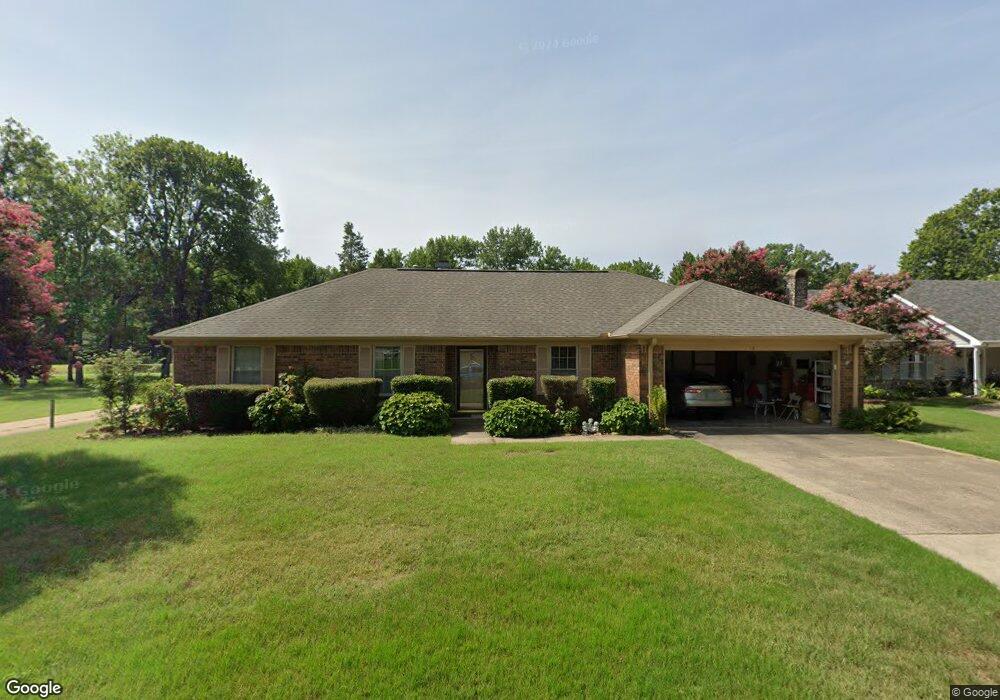
13 E Hampton Dr Conway, AR 72034
Southwest Conway NeighborhoodEstimated Value: $223,993 - $260,000
Studio
3
Baths
1,605
Sq Ft
$149/Sq Ft
Est. Value
About This Home
This home is located at 13 E Hampton Dr, Conway, AR 72034 and is currently estimated at $238,998, approximately $148 per square foot. 13 E Hampton Dr is a home located in Faulkner County with nearby schools including Marguerite Vann Elementary School, Carl Stuart Middle School, and Conway Junior High School.
Ownership History
Date
Name
Owned For
Owner Type
Purchase Details
Closed on
Dec 12, 2017
Sold by
Broadaway David N and Broadaway Janet
Bought by
Broadaway David N and David N Broadaway Residential Trust
Current Estimated Value
Purchase Details
Closed on
Jul 31, 2006
Bought by
David Broadaway
Purchase Details
Closed on
Apr 17, 2001
Bought by
Broadaway
Purchase Details
Closed on
Aug 19, 1998
Bought by
Ordinance 98-75
Purchase Details
Closed on
Jul 15, 1998
Bought by
Miller
Purchase Details
Closed on
Jun 2, 1997
Bought by
Kelley
Create a Home Valuation Report for This Property
The Home Valuation Report is an in-depth analysis detailing your home's value as well as a comparison with similar homes in the area
Home Values in the Area
Average Home Value in this Area
Purchase History
| Date | Buyer | Sale Price | Title Company |
|---|---|---|---|
| Broadaway David N | -- | None Available | |
| Broadaway David N | -- | None Available | |
| David Broadaway | -- | -- | |
| Broadaway | $100,000 | -- | |
| Ordinance 98-75 | -- | -- | |
| Miller | $97,000 | -- | |
| Kelley | $185,000 | -- |
Source: Public Records
Tax History
| Year | Tax Paid | Tax Assessment Tax Assessment Total Assessment is a certain percentage of the fair market value that is determined by local assessors to be the total taxable value of land and additions on the property. | Land | Improvement |
|---|---|---|---|---|
| 2025 | $904 | $43,460 | $3,600 | $39,860 |
| 2024 | $904 | $43,460 | $3,600 | $39,860 |
| 2023 | $904 | $29,560 | $3,600 | $25,960 |
| 2022 | $529 | $29,560 | $3,600 | $25,960 |
| 2021 | $529 | $29,560 | $3,600 | $25,960 |
| 2020 | $529 | $25,030 | $3,600 | $21,430 |
| 2019 | $529 | $25,030 | $3,600 | $21,430 |
| 2018 | $554 | $25,030 | $3,600 | $21,430 |
| 2017 | $554 | $25,030 | $3,600 | $21,430 |
| 2016 | $554 | $17,870 | $3,600 | $14,270 |
| 2015 | $904 | $24,990 | $3,600 | $21,390 |
| 2014 | $554 | $24,990 | $3,600 | $21,390 |
Source: Public Records
Map
Nearby Homes
- 297 Southwick Cove
- 104 Country Club Rd
- 3185 Stimple Dr
- 370 Wellesley Dr
- 420 Wellesley Dr
- 207 Fairway Dr
- 434 Mildred St
- Lot 6 Orchard Hill Ph 4
- 3550 Sylvia Springs Dr
- 2765 Carl Stuart St
- 2830 Anna Ln
- 00 College Ave
- 3955 College Ave
- 420 Goode Ln
- 4690 College Ave
- 3065 Cottontop Rd
- 3035 Cottontop Rd
- 3440 Sylvia Springs Dr
- 3340 Sylvia Springs Dr
- 3530 Bay Berry Rd
- 11 E Hampton Dr
- 9 E Hampton Dr
- E Hampton Dr
- 21 Manchester Dr
- 10 E Hampton Dr
- 38 Manchester Dr
- 7 E Hampton Dr
- 8 E Hampton Dr
- 36 Manchester Dr
- 19 Manchester Dr
- 5 E Hampton Dr
- 4 Bannock Burn
- 34 Manchester Dr
- 15 Manchester Dr
- 5 Bannock Burn
- 13 Manchester Dr
- 3 E Hampton Dr
- 2 E Hampton Dr
- 32 Manchester Dr
- 3 Bannock Burn
Your Personal Tour Guide
Ask me questions while you tour the home.