13 Edswood Ct Little Rock, AR 72223
Estimated Value: $698,000 - $991,000
--
Bed
6
Baths
3,846
Sq Ft
$215/Sq Ft
Est. Value
About This Home
This home is located at 13 Edswood Ct, Little Rock, AR 72223 and is currently estimated at $827,776, approximately $215 per square foot. 13 Edswood Ct is a home located in Pulaski County with nearby schools including Chenal Elementary School, Joe T. Robinson Middle School, and Joe T. Robinson High School.
Ownership History
Date
Name
Owned For
Owner Type
Purchase Details
Closed on
Apr 10, 2009
Sold by
Lowman Mark A
Bought by
Lowman Mark A and Lowman Kim D
Current Estimated Value
Home Financials for this Owner
Home Financials are based on the most recent Mortgage that was taken out on this home.
Original Mortgage
$319,350
Interest Rate
5.24%
Mortgage Type
New Conventional
Purchase Details
Closed on
Feb 4, 2005
Sold by
Lowman Mark A and Lowman Kim D
Bought by
Lowman Mark A and Lowman Kim D
Create a Home Valuation Report for This Property
The Home Valuation Report is an in-depth analysis detailing your home's value as well as a comparison with similar homes in the area
Home Values in the Area
Average Home Value in this Area
Purchase History
| Date | Buyer | Sale Price | Title Company |
|---|---|---|---|
| Lowman Mark A | -- | Realty Title | |
| Lowman Mark A | -- | -- |
Source: Public Records
Mortgage History
| Date | Status | Borrower | Loan Amount |
|---|---|---|---|
| Closed | Lowman Mark A | $319,350 |
Source: Public Records
Tax History Compared to Growth
Tax History
| Year | Tax Paid | Tax Assessment Tax Assessment Total Assessment is a certain percentage of the fair market value that is determined by local assessors to be the total taxable value of land and additions on the property. | Land | Improvement |
|---|---|---|---|---|
| 2025 | $5,506 | $144,066 | $49,128 | $94,938 |
| 2024 | $5,506 | $144,066 | $49,128 | $94,938 |
| 2023 | $5,506 | $144,066 | $49,128 | $94,938 |
| 2022 | $6,742 | $144,066 | $49,128 | $94,938 |
| 2021 | $6,742 | $108,390 | $18,690 | $89,700 |
| 2020 | $6,367 | $108,390 | $18,690 | $89,700 |
| 2019 | $6,367 | $108,390 | $18,690 | $89,700 |
| 2018 | $6,392 | $108,390 | $18,690 | $89,700 |
| 2017 | $6,392 | $108,390 | $18,690 | $89,700 |
| 2016 | $6,080 | $119,680 | $35,000 | $84,680 |
| 2015 | $6,080 | $119,680 | $35,000 | $84,680 |
| 2014 | $6,080 | $119,680 | $35,000 | $84,680 |
Source: Public Records
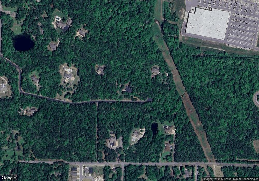
Map
Nearby Homes
- 515 Layman Ln
- 106 Copper Cir
- 9 Copper Cir
- 90 Copper Cir
- 63 Copper Cir
- 75 Copper Cir
- 901 Cape St
- 18001 Oak Creek Place
- 7 Mereville Place
- 14905 Pride Valley Rd
- 15516 Hartford St
- 2106 Wellington Woods Dr
- 32 Mereville Place
- 19000 Kanis Rd
- 14710 Woodcreek Dr
- 44 Longwell Loop
- 36 Glasgow Ct
- 19024 Kanis Rd
- 14904 Lamplight Way
- 728 Edgewood Cir
- 0 Edswood Ct
- 15 Edswood Ct
- 11 Edswood Ct
- 14 Edswood Ct
- 0 Layman Ln
- 10 Edswood Ct
- 16600 Pride Valley Rd
- 7 Edswood Ct
- 16604 Pride Valley Rd
- 921 Edswood Rd
- 16801 Pride Valley Rd
- 0 Willow Point Dr Unit 20037191
- 0 Willow Point Dr Unit 20037156
- 0 Willow Point Dr Unit 20035202
- 0 Willow Point Dr Unit 20026589
- 0 Willow Point Dr Unit 20022308
- 821 Edswood Rd
- 3 Quartz Cove
- 16901 Pride Valley Rd
- 5 Quartz Cove