13 Endslow Ln Perkasie, PA 18944
Estimated Value: $629,000 - $779,000
4
Beds
3
Baths
2,310
Sq Ft
$302/Sq Ft
Est. Value
About This Home
This home is located at 13 Endslow Ln, Perkasie, PA 18944 and is currently estimated at $697,636, approximately $302 per square foot. 13 Endslow Ln is a home located in Bucks County with nearby schools including Pennridge High School, Plumstead Christ School Peace Val, and Community Service Foundation.
Ownership History
Date
Name
Owned For
Owner Type
Purchase Details
Closed on
Jul 17, 2024
Sold by
Osborne Patrick M and Osborne Tracey N
Bought by
Patrick And Tracey Osborne Living Trust and Osborne
Current Estimated Value
Purchase Details
Closed on
Dec 23, 2004
Sold by
Osborne Patrick M
Bought by
Osborne Patrick M and Osborne Tracy
Home Financials for this Owner
Home Financials are based on the most recent Mortgage that was taken out on this home.
Original Mortgage
$169,500
Interest Rate
5.71%
Mortgage Type
New Conventional
Purchase Details
Closed on
Nov 27, 1996
Sold by
Realen Custom Builders
Bought by
Osborne Patrick M
Home Financials for this Owner
Home Financials are based on the most recent Mortgage that was taken out on this home.
Original Mortgage
$193,500
Interest Rate
7.12%
Create a Home Valuation Report for This Property
The Home Valuation Report is an in-depth analysis detailing your home's value as well as a comparison with similar homes in the area
Home Values in the Area
Average Home Value in this Area
Purchase History
| Date | Buyer | Sale Price | Title Company |
|---|---|---|---|
| Patrick And Tracey Osborne Living Trust | -- | None Listed On Document | |
| Osborne Patrick M | -- | -- | |
| Osborne Patrick M | $218,336 | -- |
Source: Public Records
Mortgage History
| Date | Status | Borrower | Loan Amount |
|---|---|---|---|
| Previous Owner | Osborne Patrick M | $169,500 | |
| Previous Owner | Osborne Patrick M | $193,500 |
Source: Public Records
Tax History Compared to Growth
Tax History
| Year | Tax Paid | Tax Assessment Tax Assessment Total Assessment is a certain percentage of the fair market value that is determined by local assessors to be the total taxable value of land and additions on the property. | Land | Improvement |
|---|---|---|---|---|
| 2025 | $7,873 | $45,920 | $8,280 | $37,640 |
| 2024 | $7,873 | $45,920 | $8,280 | $37,640 |
| 2023 | $7,781 | $45,920 | $8,280 | $37,640 |
| 2022 | $7,781 | $45,920 | $8,280 | $37,640 |
| 2021 | $7,781 | $45,920 | $8,280 | $37,640 |
| 2020 | $7,781 | $45,920 | $8,280 | $37,640 |
| 2019 | $7,735 | $45,920 | $8,280 | $37,640 |
| 2018 | $7,735 | $45,920 | $8,280 | $37,640 |
| 2017 | $7,678 | $45,920 | $8,280 | $37,640 |
| 2016 | $7,678 | $45,920 | $8,280 | $37,640 |
| 2015 | -- | $45,920 | $8,280 | $37,640 |
| 2014 | -- | $45,920 | $8,280 | $37,640 |
Source: Public Records
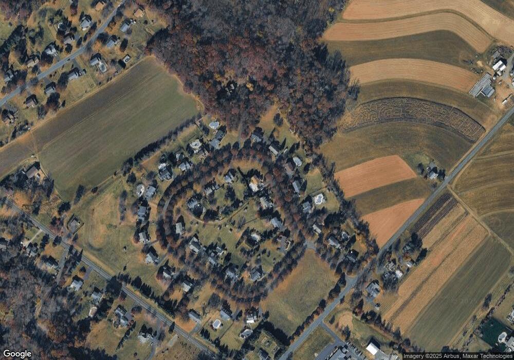
Map
Nearby Homes
- 0003 Baldwin Way
- 0004 Baldwin Way
- 0002 Baldwin Way
- 2 Baldwin Way
- 346 Maregan Dr
- 0 Callowhill Rd Unit PABU2108060
- 0010 Baldwin Way
- 0009 Baldwin Way
- 0007 Baldwin Way
- 0008 Baldwin Way
- 0001 Baldwin Way
- 1 Baldwin Way
- 810 Callowhill Rd
- 170 W Main St
- 206 Twinbrook Rd
- 420 Longleaf Dr
- 114 Orchard Rd
- 508 Telegraph Rd
- 964 Route Unit 113
- Building Package Callowhill Rd