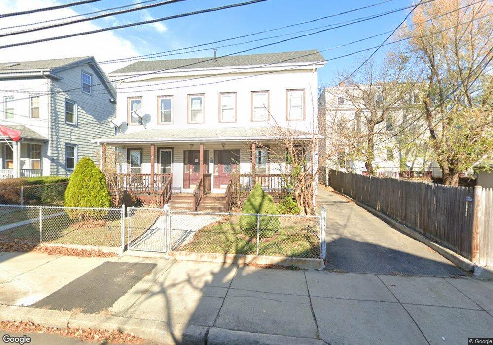
13 Flint St Somerville, MA 02145
East Somerville NeighborhoodEstimated Value: $1,090,000 - $1,475,104
6
Beds
4
Baths
2,978
Sq Ft
$439/Sq Ft
Est. Value
About This Home
This home is located at 13 Flint St, Somerville, MA 02145 and is currently estimated at $1,307,276, approximately $438 per square foot. 13 Flint St is a home located in Middlesex County with nearby schools including Somerville High School, Prospect Hill Academy Upper Elementary Campus, and Bright Future Educare Center.
Ownership History
Date
Name
Owned For
Owner Type
Purchase Details
Closed on
Aug 5, 2014
Sold by
Artemis Cottage Llc
Bought by
Artemis Flint Llc
Current Estimated Value
Create a Home Valuation Report for This Property
The Home Valuation Report is an in-depth analysis detailing your home's value as well as a comparison with similar homes in the area
Home Values in the Area
Average Home Value in this Area
Purchase History
| Date | Buyer | Sale Price | Title Company |
|---|---|---|---|
| Artemis Flint Llc | -- | -- |
Source: Public Records
Property History
| Date | Event | Price | List to Sale | Price per Sq Ft |
|---|---|---|---|---|
| 10/08/2024 10/08/24 | Off Market | $3,500 | -- | -- |
| 10/08/2024 10/08/24 | Off Market | $3,500 | -- | -- |
| 02/20/2024 02/20/24 | For Rent | $3,500 | 0.0% | -- |
| 01/12/2024 01/12/24 | For Rent | $3,500 | -- | -- |
Tax History Compared to Growth
Tax History
| Year | Tax Paid | Tax Assessment Tax Assessment Total Assessment is a certain percentage of the fair market value that is determined by local assessors to be the total taxable value of land and additions on the property. | Land | Improvement |
|---|---|---|---|---|
| 2025 | $13,500 | $1,237,400 | $529,800 | $707,600 |
| 2024 | $12,724 | $1,209,500 | $529,800 | $679,700 |
| 2023 | $12,506 | $1,209,500 | $529,800 | $679,700 |
| 2022 | $11,700 | $1,149,300 | $504,600 | $644,700 |
| 2021 | $11,037 | $1,083,100 | $497,800 | $585,300 |
| 2020 | $10,383 | $1,029,000 | $478,600 | $550,400 |
| 2019 | $9,894 | $919,500 | $397,000 | $522,500 |
| 2018 | $9,359 | $827,500 | $317,400 | $510,100 |
| 2017 | $9,168 | $785,600 | $299,400 | $486,200 |
| 2016 | $8,464 | $675,500 | $210,400 | $465,100 |
| 2015 | $8,374 | $664,100 | $209,200 | $454,900 |
Source: Public Records
Map
Nearby Homes
- 2 Hillside Ave
- 57 Myrtle St
- 38 Franklin Ave
- 76 Franklin St
- 32 Pinckney St
- 36 Fountain Ave
- 84 Cross St
- 34 Knowlton St Unit 2
- 3 Franklin St Unit A
- 3 Franklin St Unit C
- 7 Washington St
- 43 Cross St
- 147 - 149 Pearl
- 19 Everett Ave
- 18 Otis St
- 14 Bonair St Unit 14
- 142 Cross St
- 20 Alston St
- 19 Parker St Unit 3
- 16 Bonair St
- 13 Flint St
- 13 Flint St Unit 1
- 11 Flint St Unit 11
- 11 Flint St Unit A
- 11 Flint St Unit T
- 11 Flint St Unit 4
- 11 Flint St Unit 1
- 11 Flint St Unit 3
- 47R Franklin St Unit 2
- 47 Franklin St Unit 2
- 47 Franklin St Unit R
- 47 Franklin St
- 2 Franklin Place Unit 102
- 2 Franklin Place
- 47R Franklin St Unit 3
- 47 Franklin St Unit 1
- 47 Franklin St Unit 3
- 47R Franklin St Unit 1
- 17 Flint St
- 49 Franklin St