13 Fords Way Ln Elmwood, TN 38560
Estimated Value: $198,691 - $265,000
--
Bed
2
Baths
2,134
Sq Ft
$106/Sq Ft
Est. Value
About This Home
This home is located at 13 Fords Way Ln, Elmwood, TN 38560 and is currently estimated at $225,423, approximately $105 per square foot. 13 Fords Way Ln is a home located in Smith County with nearby schools including Forks River Elementary School, Smith County Middle School, and Smith County High School.
Ownership History
Date
Name
Owned For
Owner Type
Purchase Details
Closed on
Jun 12, 2008
Sold by
Ford Tom King
Bought by
Caplenor Carolyn Ford
Current Estimated Value
Purchase Details
Closed on
Jan 2, 2008
Sold by
Ford Caplenor Carolyn
Bought by
Ford Jennifer L
Home Financials for this Owner
Home Financials are based on the most recent Mortgage that was taken out on this home.
Original Mortgage
$120,000
Interest Rate
5.94%
Purchase Details
Closed on
Oct 19, 1987
Bought by
Ford George C and Ford Carolyn
Create a Home Valuation Report for This Property
The Home Valuation Report is an in-depth analysis detailing your home's value as well as a comparison with similar homes in the area
Home Values in the Area
Average Home Value in this Area
Purchase History
| Date | Buyer | Sale Price | Title Company |
|---|---|---|---|
| Caplenor Carolyn Ford | -- | -- | |
| Ford Jennifer L | $120,000 | -- | |
| Ford George C | -- | -- |
Source: Public Records
Mortgage History
| Date | Status | Borrower | Loan Amount |
|---|---|---|---|
| Previous Owner | Ford George C | $120,000 |
Source: Public Records
Tax History Compared to Growth
Tax History
| Year | Tax Paid | Tax Assessment Tax Assessment Total Assessment is a certain percentage of the fair market value that is determined by local assessors to be the total taxable value of land and additions on the property. | Land | Improvement |
|---|---|---|---|---|
| 2024 | $612 | $35,325 | $2,875 | $32,450 |
| 2023 | $612 | $35,325 | $0 | $0 |
| 2022 | $612 | $35,325 | $2,875 | $32,450 |
| 2021 | $529 | $21,350 | $2,100 | $19,250 |
| 2020 | $573 | $21,350 | $2,100 | $19,250 |
| 2019 | $573 | $21,350 | $2,100 | $19,250 |
| 2018 | $449 | $21,000 | $2,100 | $18,900 |
| 2017 | $449 | $21,000 | $2,100 | $18,900 |
| 2016 | $391 | $16,850 | $1,575 | $15,275 |
| 2015 | $391 | $16,850 | $1,575 | $15,275 |
| 2014 | $391 | $16,850 | $1,575 | $15,275 |
Source: Public Records
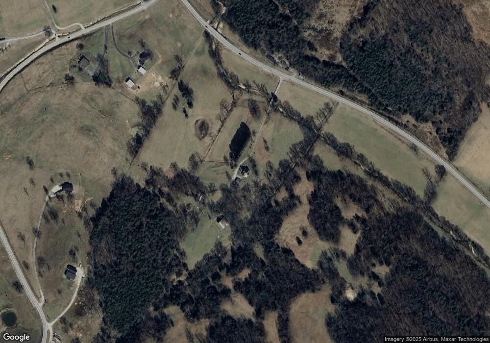
Map
Nearby Homes
- 0 Stonewall Hwy
- 670 Cookeville Hwy
- 49 Duck Hollow Rd
- 200 Stonewall Hwy
- 185 Stonewall Hwy
- 213 Pea Ridge Rd
- 89 Ouchonder Rd
- 0 Ben Gentry Ln Unit 23220617
- 0 Ben Gentry Ln Unit RTC2818557
- 0 Ben Gentry Ln Unit RTC2791429
- 0 Ben Gentry Ln Unit 233082
- 0 Ben Gentry Ln Unit RTC2759367
- 0 Maggart Rd
- 216 Sullivan Bend Rd
- 263 Club Springs Rd
- 280 Club Springs Rd
- 552 Pea Ridge Rd
- 0 Club Springs Rd Unit RTC2991396
- 0 Club Springs Rd Unit RTC2991377
- 0 Club Springs Rd Unit RTC2991355
- 537 Cookeville Hwy
- 7 Stonewall Hwy
- 37 Stonewall Hwy
- 55 Stonewall Hwy
- 11 Stonewall Hwy
- 520 Cookeville Hwy
- 518 Cookeville Hwy
- 12 Stonewall Hwy
- 516 Cookeville Hwy
- 514 Cookeville Hwy
- 36 Stonewall Hwy
- 511 Cookeville Hwy
- 2 Betty Ln
- 10 Taft Ln
- 512 Cookeville Hwy
- 510 Cookeville Hwy
- 508 Cookeville Hwy
- 12 King Brothers Ln
- 584 Cookeville Hwy
- 581 Cookeville Hwy