13 Fox Hill Rd Freeport, ME 04032
Estimated Value: $913,000 - $1,072,000
3
Beds
2
Baths
2,686
Sq Ft
$363/Sq Ft
Est. Value
About This Home
This home is located at 13 Fox Hill Rd, Freeport, ME 04032 and is currently estimated at $976,170, approximately $363 per square foot. 13 Fox Hill Rd is a home located in Cumberland County with nearby schools including Morse Street School, Mast Landing School, and Freeport Middle School.
Create a Home Valuation Report for This Property
The Home Valuation Report is an in-depth analysis detailing your home's value as well as a comparison with similar homes in the area
Home Values in the Area
Average Home Value in this Area
Tax History Compared to Growth
Tax History
| Year | Tax Paid | Tax Assessment Tax Assessment Total Assessment is a certain percentage of the fair market value that is determined by local assessors to be the total taxable value of land and additions on the property. | Land | Improvement |
|---|---|---|---|---|
| 2024 | $7,724 | $578,600 | $250,400 | $328,200 |
| 2023 | $7,048 | $512,600 | $227,700 | $284,900 |
| 2022 | $6,664 | $488,200 | $203,300 | $284,900 |
| 2021 | $6,367 | $476,900 | $192,000 | $284,900 |
| 2020 | $6,090 | $435,000 | $167,300 | $267,700 |
| 2019 | $5,866 | $410,200 | $157,800 | $252,400 |
| 2018 | $5,882 | $390,800 | $151,200 | $239,600 |
| 2017 | $5,636 | $377,000 | $148,300 | $228,700 |
| 2016 | $5,465 | $345,900 | $134,100 | $211,800 |
| 2015 | $5,351 | $318,500 | $122,600 | $195,900 |
| 2014 | $5,032 | $318,500 | $122,600 | $195,900 |
| 2013 | $5,059 | $319,200 | $122,700 | $196,500 |
Source: Public Records
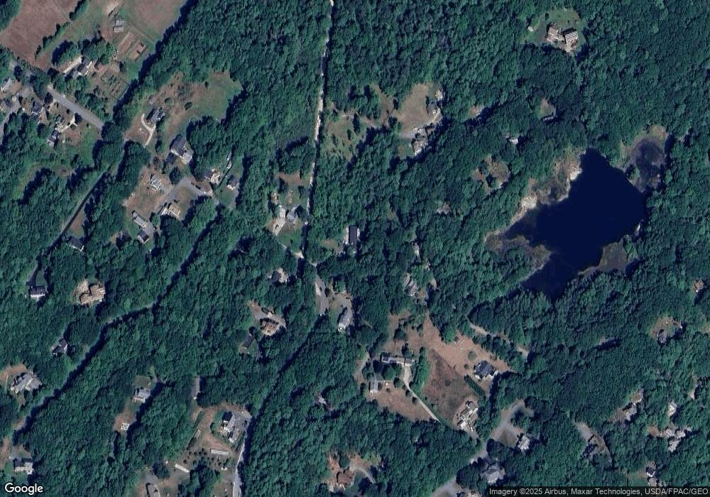
Map
Nearby Homes
- 26 Harvest Ridge Rd Unit 24
- 1612 U S Route 1
- 15 Percy St
- 10 Durham Rd
- 212 Main St
- 11 Orchard Hill Rd
- 71 Merganser Way
- 42 Durham Rd
- 31 Sequoia Dr
- 15 Sequoia Dr
- 304 Pownal Rd
- 15 Tinkers Way
- 1260 Us Route 1
- 8 Statler Ln
- 241 Bluff Rd Unit 4
- 34 Newfield Rd
- 203 Bluff Rd Unit 13
- 393 E Main St
- 20 Blueberry Cove Rd Unit 20
- 247 Ledge Rd
- 1 Spruce Rd
- 3 Winterview Rd
- 2 Winterview Rd
- 8 Highview Rd
- 5 Highview Rd
- 10 Fox Hill Rd
- 11 Fox Hill Rd
- 7 Highview Rd
- 5 Spruce Rd
- 5 Winterview Rd
- 7 Spruce Rd
- 10 Highview Rd
- 18 Harbor Ridge Rd
- 9 Highview Rd
- 34 S Freeport Rd
- 39 S Freeport Rd
- 12 Highview Rd
- 11 Highview Rd
- 35 S Freeport Rd
- 32 S Freeport Rd