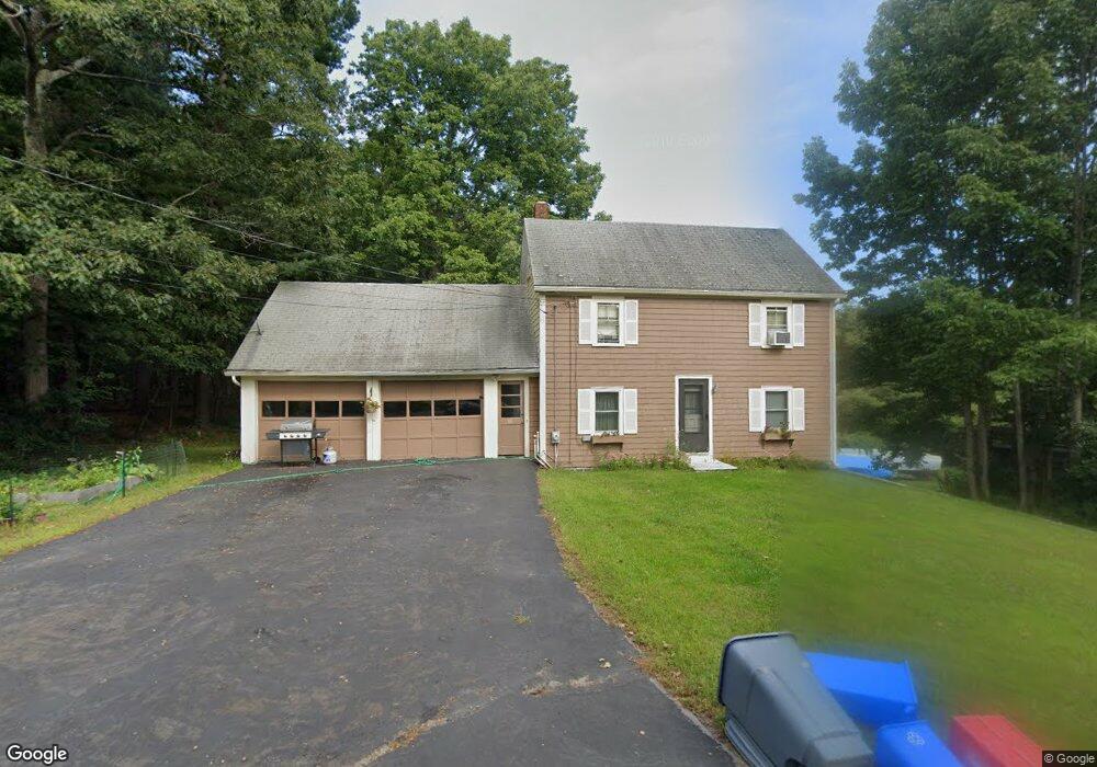
13 Gerrish Island Ln Kittery Point, ME 03905
Kittery Point NeighborhoodEstimated Value: $433,518 - $593,000
3
Beds
3
Baths
1,120
Sq Ft
$439/Sq Ft
Est. Value
About This Home
This home is located at 13 Gerrish Island Ln, Kittery Point, ME 03905 and is currently estimated at $491,630, approximately $438 per square foot. 13 Gerrish Island Ln is a home with nearby schools including Horace Mitchell Primary School, Shapleigh School, and Robert W Traip Academy.
Ownership History
Date
Name
Owned For
Owner Type
Purchase Details
Closed on
Feb 10, 2022
Sold by
Tobey Beverly J
Bought by
Tobey Beverly J and Tobey Steven W
Current Estimated Value
Purchase Details
Closed on
Dec 5, 2005
Sold by
Grant Paul E Est
Bought by
Tobey Beverly J
Create a Home Valuation Report for This Property
The Home Valuation Report is an in-depth analysis detailing your home's value as well as a comparison with similar homes in the area
Home Values in the Area
Average Home Value in this Area
Purchase History
| Date | Buyer | Sale Price | Title Company |
|---|---|---|---|
| Tobey Beverly J | -- | None Available | |
| Tobey Beverly J | -- | -- |
Source: Public Records
Tax History Compared to Growth
Tax History
| Year | Tax Paid | Tax Assessment Tax Assessment Total Assessment is a certain percentage of the fair market value that is determined by local assessors to be the total taxable value of land and additions on the property. | Land | Improvement |
|---|---|---|---|---|
| 2024 | $3,746 | $263,800 | $131,600 | $132,200 |
| 2023 | $3,590 | $263,800 | $131,600 | $132,200 |
| 2022 | $3,487 | $258,700 | $131,600 | $127,100 |
| 2021 | $3,363 | $258,700 | $131,600 | $127,100 |
| 2020 | $14,896 | $258,700 | $131,600 | $127,100 |
| 2019 | $0 | $193,300 | $72,800 | $120,500 |
| 2018 | $3,134 | $193,300 | $72,800 | $120,500 |
| 2017 | $3,189 | $193,300 | $72,800 | $120,500 |
| 2016 | $3,152 | $196,400 | $72,800 | $123,600 |
| 2015 | $3,078 | $196,400 | $72,800 | $123,600 |
| 2014 | $3,048 | $196,400 | $72,800 | $123,600 |
| 2013 | $2,989 | $196,400 | $72,800 | $123,600 |
Source: Public Records
Map
Nearby Homes
- 39 Tenney Hill Rd
- 15 Foyes Ln
- 58 Foyes Ln
- 132 Pepperrell Rd
- 72 Pepperrell Rd
- 25 Bartlett Rd
- 2 Washburn Farm Ln Unit 1
- 7 Washburn Farm Ln Unit 9
- 20 Washburn Farm Ln Unit 5
- 18 Washburn Farm Ln Unit 4
- 12 Washburn Farm Ln Unit 3
- 78 Norton Rd Unit 6
- 299 Haley Rd
- 24 Seabreeze Ln
- 205 Whipple Rd
- 15 Atkinson St
- 109 Bartlett Rd
- 17 Elm Ct
- 13 Washburn Farm Ln Unit 7
- 3 Izzy Ln
- 15 Gerrish Island Ln
- 20 Gerrish Island Ln
- 9 Gerrish Island Ln
- 12 Gerrish Island Ln
- 14 Gerrish Island Ln
- 17 Gerrish Island Ln
- 10 Gerrish Island Ln
- 17 Gerrish Island
- 7 Gerrish Island Ln
- 21 Gerrish Island Ln
- 26 Gerrish Island Ln
- 19 Gerrish Island Ln
- 50 Tenney Hill Rd
- 26 Gerrish Island Ln
- 23 Gerrish Island Ln
- 48 Tenney Hill Rd
- 57 Chauncey Creek Rd
- Lot 2 Brave Boat Harbor Rd
- 24 Gerrish Island Ln
- 28 Gerrish Island Ln