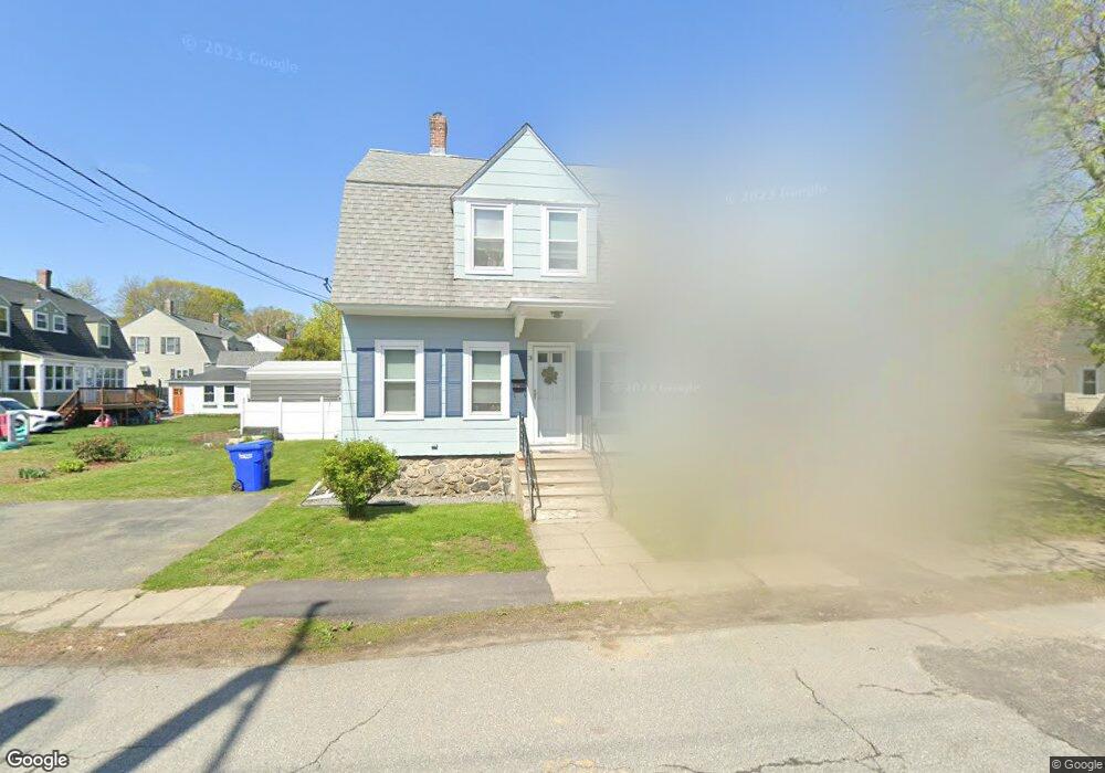
13 Hayes St Maynard, MA 01754
Estimated Value: $456,000 - $659,426
About This Home
This home is located at 13 Hayes St, Maynard, MA 01754 and is currently estimated at $563,357, approximately $246 per square foot. 13 Hayes St is a home located in Middlesex County with nearby schools including Green Meadow School, Fowler School, and Maynard High School.
Ownership History
We collect this data history from publicly available records. To have your information removed, we recommend requesting removal directly through your county’s website.
Purchase Details
Purchase Details
Purchase Details
Home Financials for this Owner
Home Financials are based on the most recent Mortgage that was taken out on this home.Home Values in the Area
Average Home Value in this Area
Purchase History
We collect this data history from publicly available records. To have your information removed, we recommend requesting removal directly through your county’s website.
| Date | Buyer | Sale Price | Title Company |
|---|---|---|---|
| -- | None Available | ||
| -- | None Available | ||
| -- | -- | ||
| -- | -- | ||
| -- | -- | ||
| -- | -- | ||
| -- | -- |
Mortgage History
We collect this data history from publicly available records. To have your information removed, we recommend requesting removal directly through your county’s website.
| Date | Status | Borrower | Loan Amount |
|---|---|---|---|
| Previous Owner | $115,000 |
Tax History
We collect this data history from publicly available records. To have your information removed, we recommend requesting removal directly through your county’s website.
| Year | Tax Paid | Tax Assessment Tax Assessment Total Assessment is a certain percentage of the fair market value that is determined by local assessors to be the total taxable value of land and additions on the property. | Land | Improvement |
|---|---|---|---|---|
| 2025 | $8,212 | $460,600 | $265,400 | $195,200 |
| 2024 | $8,008 | $447,900 | $252,700 | $195,200 |
| 2023 | $8,024 | $423,000 | $240,700 | $182,300 |
| 2022 | $7,890 | $384,500 | $202,200 | $182,300 |
| 2021 | $7,562 | $375,300 | $202,200 | $173,100 |
| 2020 | $7,348 | $356,000 | $182,900 | $173,100 |
| 2019 | $6,741 | $320,400 | $174,800 | $145,600 |
| 2018 | $6,269 | $276,900 | $158,900 | $118,000 |
| 2017 | $6,095 | $276,900 | $158,900 | $118,000 |
| 2016 | $5,884 | $276,900 | $158,900 | $118,000 |
| 2015 | $6,151 | $275,700 | $151,600 | $124,100 |
| 2014 | $6,243 | $280,100 | $146,800 | $133,300 |
Map
- 13 Arthur St Unit 15
- 62 Waltham St
- 22 Douglas Ave Unit 2
- 26 Powder Mill Rd
- 2 Dartmouth Ct Unit 2
- 64 Parker St
- 4 Oak Ridge Dr Unit 6
- 70 Powder Mill Rd
- 16 Maybury Rd
- 11 Ethelyn Cir
- 80 Concord St
- 10 Concord St
- 8 Tremont St
- 2 Everett St
- 26 Tremont St
- 39 Adams St
- 12 Howard Rd
- 167 Belcher Dr
- 18 Harvard Dr
- 5 Harvard Dr
- 3 Hayes St
- 15 Grant St Unit 17
- 18 Grant St
- 16 Grant St
- 18 Grant St Unit 18,18
- 7 Hayes St Unit 7
- 57 Hayes St
- 5 Hayes St
- 22 Arthur St Unit 22
- 20 Arthur St Unit 22
- 68 Hayes St
- 6 Hayes St
- 6 Hayes St Unit 6
- 12 Grant St Unit 14
- 14 Grant St
- 8 Hayes St
- 11 Grant St Unit 13
- 11 Grant St Unit 11
- 13 Grant St Unit 13
- 13 Grant St
Ask me questions while you tour the home.