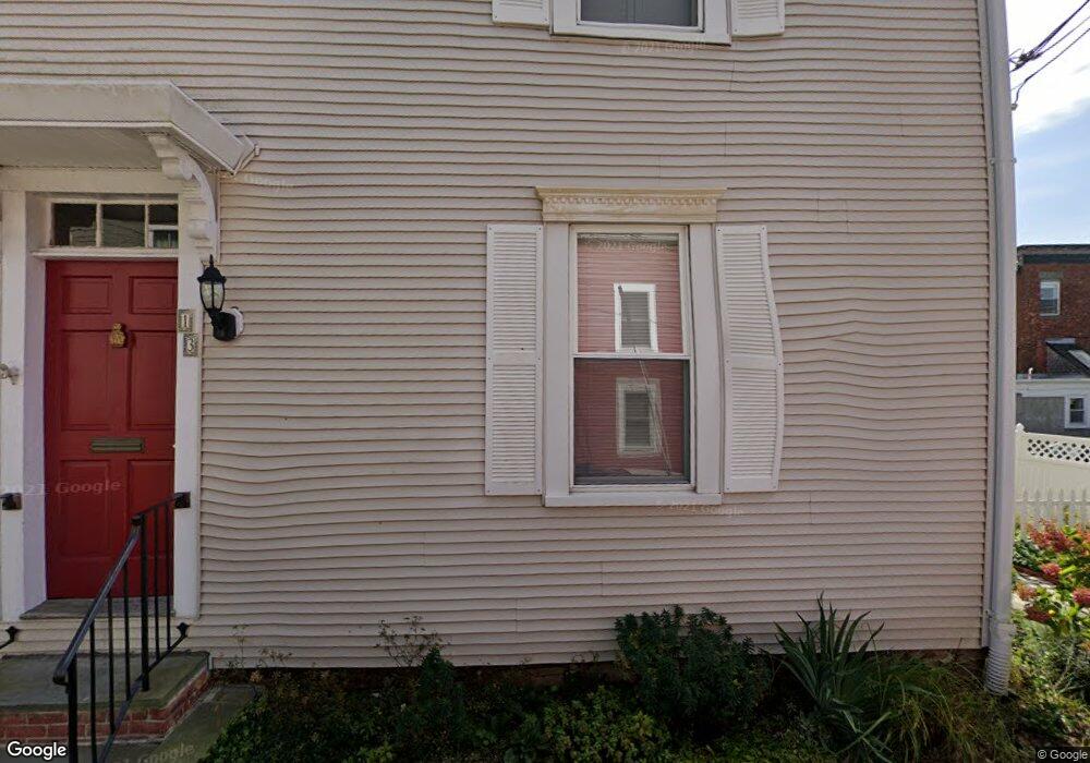
13 Holland St Unit 3 Newport, RI 02840
Fifth Ward NeighborhoodEstimated Value: $722,000 - $954,000
2
Beds
2
Baths
1,034
Sq Ft
$771/Sq Ft
Est. Value
About This Home
This home is located at 13 Holland St Unit 3, Newport, RI 02840 and is currently estimated at $796,708, approximately $770 per square foot. 13 Holland St Unit 3 is a home located in Newport County with nearby schools including Rogers High School, St Michael's Country Day School, and St George's School.
Ownership History
Date
Name
Owned For
Owner Type
Purchase Details
Closed on
Jul 1, 2015
Sold by
Davis Caroline and Davis Caroline
Bought by
Davis Caroline
Current Estimated Value
Home Financials for this Owner
Home Financials are based on the most recent Mortgage that was taken out on this home.
Original Mortgage
$248,000
Outstanding Balance
$191,538
Interest Rate
3.83%
Mortgage Type
New Conventional
Estimated Equity
$605,170
Purchase Details
Closed on
Mar 24, 2004
Sold by
Velardi Robert and Velardi Claire
Bought by
Mosley Eric
Create a Home Valuation Report for This Property
The Home Valuation Report is an in-depth analysis detailing your home's value as well as a comparison with similar homes in the area
Home Values in the Area
Average Home Value in this Area
Purchase History
| Date | Buyer | Sale Price | Title Company |
|---|---|---|---|
| Davis Caroline | -- | -- | |
| Davis Caroline | -- | -- | |
| Mosley Eric | $282,000 | -- | |
| Mosley Eric | $282,000 | -- |
Source: Public Records
Mortgage History
| Date | Status | Borrower | Loan Amount |
|---|---|---|---|
| Open | Mosley Eric | $248,000 | |
| Closed | Mosley Eric | $30,600 | |
| Closed | Mosley Eric | $248,000 |
Source: Public Records
Tax History Compared to Growth
Tax History
| Year | Tax Paid | Tax Assessment Tax Assessment Total Assessment is a certain percentage of the fair market value that is determined by local assessors to be the total taxable value of land and additions on the property. | Land | Improvement |
|---|---|---|---|---|
| 2025 | $4,230 | $486,800 | $0 | $486,800 |
| 2024 | $3,393 | $486,800 | $0 | $486,800 |
| 2023 | $3,728 | $375,800 | $0 | $375,800 |
| 2022 | $3,611 | $375,800 | $0 | $375,800 |
| 2021 | $3,480 | $373,000 | $0 | $373,000 |
| 2020 | $2,538 | $246,900 | $0 | $246,900 |
| 2019 | $2,538 | $246,900 | $0 | $246,900 |
| 2018 | $2,467 | $246,900 | $0 | $246,900 |
| 2017 | $2,768 | $246,900 | $0 | $246,900 |
| 2016 | $2,699 | $246,900 | $0 | $246,900 |
| 2015 | $2,634 | $246,900 | $0 | $246,900 |
| 2014 | $2,607 | $216,200 | $0 | $216,200 |
Source: Public Records
Map
Nearby Homes
- 13 Dean Ave
- 30 S Baptist St
- 6 Sharon Ct
- 604 Thames & 4 Dixon St
- 28 Young St
- 24 Brown and Howard Wharf Unit 301
- 30 Brewer St Unit 3
- 364 Bellevue Ave Unit A1
- 364 Bellevue Ave Unit D7
- 57 Clinton St Unit 57C
- 66 Webster St Unit 9
- 39 Connection St
- 20 Berkeley Ave Unit 2
- 91 Houston Ave
- 26 Freebody St
- 26 Atlantic St
- 8 Sylvan St
- 26 Franklin St
- 19 Slocum St
- 75 Pelham St Unit B
- 13 Holland St Unit 2
- 13 Holland St Unit 1
- 13 Holland St Unit C
- 13 Holland St Unit 13 B
- 13 Holland St Unit B
- 13 Holland St Unit A
- 15 Holland St Unit 17
- 15 Holland St Unit 2
- 10 Dean Ave
- 10 Dean Ave Unit 1
- 6 Dean Ave
- 18 Holland St
- 23 Holland St
- 23 Holland St Unit 1
- 526 Thames St
- 526 Thames St Unit 2
- 526 Thames St Unit 1
- 12 Holland St
- 10 Holland St
- 10 Holland St Unit 1