13 Industry Way Orleans, MA 2653
3
Beds
2
Baths
2,400
Sq Ft
0.33
Acres
About This Home
This home is located at 13 Industry Way, Orleans, MA 2653. 13 Industry Way is a home located in Barnstable County with nearby schools including Orleans Elementary School, Nauset Regional Middle School, and Nauset Regional High School.
Ownership History
Date
Name
Owned For
Owner Type
Purchase Details
Closed on
Nov 25, 2002
Sold by
Four Winds Nt and Allard Michael F
Bought by
Ferzoco Frank
Home Financials for this Owner
Home Financials are based on the most recent Mortgage that was taken out on this home.
Original Mortgage
$50,000
Outstanding Balance
$21,215
Interest Rate
6.07%
Mortgage Type
Commercial
Purchase Details
Closed on
Feb 21, 2001
Sold by
Allard Michael F and Pease Albert C
Bought by
Four Winds Nt and Allard Michael F
Home Financials for this Owner
Home Financials are based on the most recent Mortgage that was taken out on this home.
Original Mortgage
$26,000
Interest Rate
6.89%
Mortgage Type
Commercial
Create a Home Valuation Report for This Property
The Home Valuation Report is an in-depth analysis detailing your home's value as well as a comparison with similar homes in the area
Home Values in the Area
Average Home Value in this Area
Purchase History
| Date | Buyer | Sale Price | Title Company |
|---|---|---|---|
| Ferzoco Frank | $105,000 | -- | |
| Four Winds Nt | $20,000 | -- |
Source: Public Records
Mortgage History
| Date | Status | Borrower | Loan Amount |
|---|---|---|---|
| Open | Ferzoco Frank | $50,000 | |
| Previous Owner | Four Winds Nt | $26,000 |
Source: Public Records
Tax History Compared to Growth
Tax History
| Year | Tax Paid | Tax Assessment Tax Assessment Total Assessment is a certain percentage of the fair market value that is determined by local assessors to be the total taxable value of land and additions on the property. | Land | Improvement |
|---|---|---|---|---|
| 2025 | $2,086 | $334,300 | $241,200 | $93,100 |
| 2024 | $2,068 | $322,600 | $234,300 | $88,300 |
| 2023 | $1,874 | $300,800 | $216,900 | $83,900 |
| 2022 | $1,935 | $268,800 | $197,200 | $71,600 |
| 2021 | $2,059 | $262,600 | $191,500 | $71,100 |
| 2020 | $1,987 | $262,800 | $191,500 | $71,300 |
| 2019 | $1,913 | $258,500 | $187,700 | $70,800 |
| 2018 | $1,651 | $249,000 | $178,700 | $70,300 |
| 2017 | $1,538 | $243,000 | $175,200 | $67,800 |
| 2016 | $1,554 | $240,600 | $173,400 | $67,200 |
| 2015 | $1,519 | $236,600 | $170,000 | $66,600 |
Source: Public Records
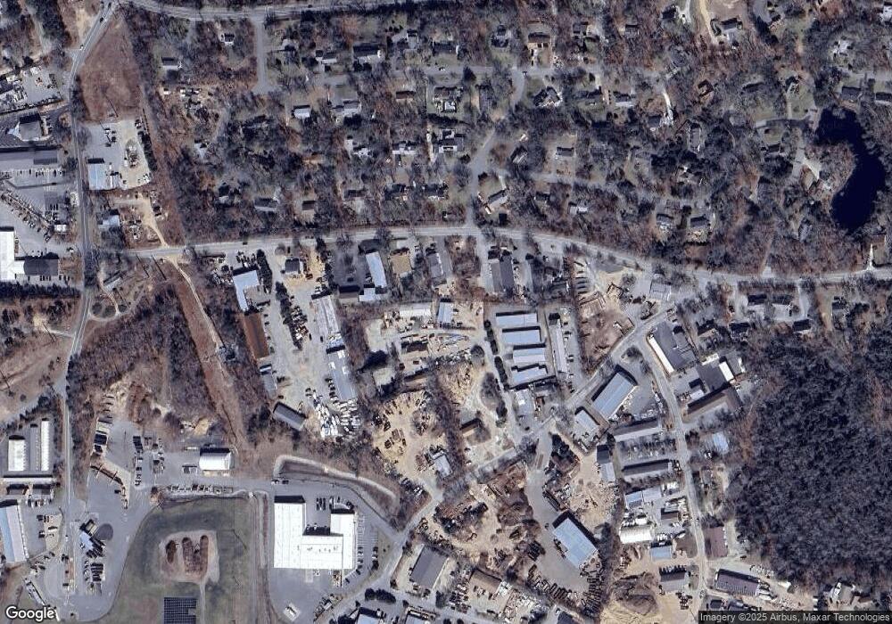
Map
Nearby Homes
- 23 Nickerson Rd
- 47 Daley Terrace
- 190 Rt 6a Unit 12A
- 24 Old Tote Rd
- 18 West Rd Unit 311
- 18 West Rd Unit 315
- 18 West Rd Unit 212
- 95 S Orleans Rd
- 24 West Rd
- 10 Lake Farm Ln
- 45 West Rd Unit 3G
- 45 West Rd Unit 1E
- 10 Center Place Unit 15
- 10 Center Place Unit 16
- 22 Tonset Rd
- 42 Old Colony Way Unit 30
- 42 Old Colony Way Unit 6
- 36 Old Colony Way Unit 3022
- 24 Old Colony Way Unit 25
- 24 Old Colony Way Unit 8
- 15 Industry Way
- 15 Industry Way Unit 3
- 15 Industry Way Unit 2
- 15 Industry Way Unit 1
- 55 Finlay Rd
- 57 Finlay Rd
- 59 Finlay Rd
- 59 Finlay Rd Unit 6
- 59 Finlay Rd Unit 4
- 59 Finlay Rd Unit 1
- 59 Finlay Rd Unit 5
- 59 Finlay Rd Unit 3
- 59 Finlay Rd Unit 2
- 53 Finlay Rd
- 16 Industry Way Unit F
- 16 Industry Way Unit E
- 16 Industry Way Unit A,B,C
- 16 Industry Way Unit C
- 16 Industry Way Unit B
- 16 Industry Way Unit A