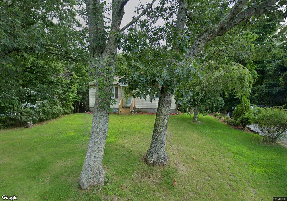
13 L Stevens Rd Charlton, MA 01507
Estimated Value: $289,000 - $333,000
2
Beds
1
Bath
768
Sq Ft
$408/Sq Ft
Est. Value
About This Home
This home is located at 13 L Stevens Rd, Charlton, MA 01507 and is currently estimated at $313,446, approximately $408 per square foot. 13 L Stevens Rd is a home located in Worcester County with nearby schools including Shepherd Hill Regional High School.
Ownership History
Date
Name
Owned For
Owner Type
Purchase Details
Closed on
Oct 26, 2018
Sold by
Butler Robert C Est and Williams
Bought by
Generations Constructi
Current Estimated Value
Purchase Details
Closed on
Feb 6, 1963
Bought by
Butler Robert C and Butler Constance E
Create a Home Valuation Report for This Property
The Home Valuation Report is an in-depth analysis detailing your home's value as well as a comparison with similar homes in the area
Home Values in the Area
Average Home Value in this Area
Purchase History
| Date | Buyer | Sale Price | Title Company |
|---|---|---|---|
| Generations Constructi | $70,000 | -- | |
| Generations Constructi | $70,000 | -- | |
| Butler Robert C | -- | -- |
Source: Public Records
Mortgage History
| Date | Status | Borrower | Loan Amount |
|---|---|---|---|
| Previous Owner | Butler Robert C | $60,000 |
Source: Public Records
Tax History Compared to Growth
Tax History
| Year | Tax Paid | Tax Assessment Tax Assessment Total Assessment is a certain percentage of the fair market value that is determined by local assessors to be the total taxable value of land and additions on the property. | Land | Improvement |
|---|---|---|---|---|
| 2025 | $2,894 | $260,000 | $83,400 | $176,600 |
| 2024 | $2,777 | $244,900 | $80,300 | $164,600 |
| 2023 | $2,423 | $199,100 | $59,800 | $139,300 |
| 2022 | $2,300 | $173,100 | $58,800 | $114,300 |
| 2021 | $2,300 | $153,200 | $57,400 | $95,800 |
| 2020 | $2,217 | $148,400 | $52,600 | $95,800 |
| 2019 | $2,192 | $148,400 | $52,600 | $95,800 |
| 2018 | $2,003 | $148,400 | $52,600 | $95,800 |
| 2017 | $1,827 | $129,600 | $47,800 | $81,800 |
| 2016 | $1,786 | $129,600 | $47,800 | $81,800 |
| 2015 | $1,739 | $129,600 | $47,800 | $81,800 |
| 2014 | $1,675 | $132,300 | $51,400 | $80,900 |
Source: Public Records
Map
Nearby Homes
- 5 Northside Rd
- 8 Northside Rd
- 25 N Main St Unit A
- 7 L Stevens Rd Unit A
- 7 L Stevens Rd Unit B
- 102 Worcester Rd
- 0 Trolley Crossing Rd
- 5 Carpenter Hill Rd
- 105 Carroll Hill Rd
- 18 Old Worcester Rd
- 13 Boucher Dr
- 57 Carpenter Hill Rd
- 7 Little Muggett Rd
- 38 Stevens Park Rd
- 0 Worcester Rd
- 28 Southbridge Rd Unit 402
- 0 Freeman Rd Unit 73369281
- 91 Burlingame Rd
- 40 Carroll Hill Rd
- 199 Center Depot Rd
- 11 L Stevens Rd
- 15 L Stevens Rd
- 19 L Stevens Rd
- 14 L Stevens Rd
- 10 L Stevens Rd
- 5 L Stevens Rd
- 32 L Stevens Rd
- 0 Route 20 Unit 30176446
- 1 Northside Rd
- 1 Northside Rd Unit A
- Lot A2 Northside Rd
- Lot A1 Northside Rd
- Lot A Northside Rd
- 2 Northside Rd Unit A
- Lot 25-A-2 Northside Rd
- Lot 1B Northside
- 4 Northside Rd
- 159 Worcester Rd Unit 103
- 159 Worcester Rd
- 33 L Stevens Rd