13 Landing Dr Gorham, ME 04038
Estimated Value: $418,000 - $564,000
2
Beds
3
Baths
1,460
Sq Ft
$350/Sq Ft
Est. Value
About This Home
This home is located at 13 Landing Dr, Gorham, ME 04038 and is currently estimated at $510,583, approximately $349 per square foot. 13 Landing Dr is a home located in Cumberland County with nearby schools including Village Elementary School, Gorham Middle School, and Gorham High School.
Ownership History
Date
Name
Owned For
Owner Type
Purchase Details
Closed on
Jan 11, 2024
Sold by
Violette John A and Violette Jean B
Bought by
Jean B Violette Ret and Violette
Current Estimated Value
Purchase Details
Closed on
Nov 12, 2020
Sold by
Hudson Kabrina
Bought by
Violette John A and Violette Jean B
Home Financials for this Owner
Home Financials are based on the most recent Mortgage that was taken out on this home.
Original Mortgage
$179,900
Interest Rate
2.8%
Mortgage Type
New Conventional
Purchase Details
Closed on
Feb 5, 2018
Sold by
Linda H Newell Ret and Newell
Bought by
Hudson Kabrina
Home Financials for this Owner
Home Financials are based on the most recent Mortgage that was taken out on this home.
Original Mortgage
$269,100
Interest Rate
3.94%
Mortgage Type
New Conventional
Create a Home Valuation Report for This Property
The Home Valuation Report is an in-depth analysis detailing your home's value as well as a comparison with similar homes in the area
Home Values in the Area
Average Home Value in this Area
Purchase History
| Date | Buyer | Sale Price | Title Company |
|---|---|---|---|
| Jean B Violette Ret | -- | None Available | |
| Jean B Violette Ret | -- | None Available | |
| Violette John A | -- | None Available | |
| Hudson Kabrina | -- | -- |
Source: Public Records
Mortgage History
| Date | Status | Borrower | Loan Amount |
|---|---|---|---|
| Previous Owner | Violette John A | $179,900 | |
| Previous Owner | Hudson Kabrina | $269,100 |
Source: Public Records
Tax History
| Year | Tax Paid | Tax Assessment Tax Assessment Total Assessment is a certain percentage of the fair market value that is determined by local assessors to be the total taxable value of land and additions on the property. | Land | Improvement |
|---|---|---|---|---|
| 2025 | $6,909 | $466,800 | $32,900 | $433,900 |
| 2024 | $6,862 | $466,800 | $32,900 | $433,900 |
| 2023 | $6,419 | $466,800 | $32,900 | $433,900 |
| 2022 | $5,998 | $466,800 | $32,900 | $433,900 |
| 2021 | $4,836 | $249,300 | $106,900 | $142,400 |
| 2020 | $4,737 | $249,300 | $106,900 | $142,400 |
| 2019 | $4,722 | $249,200 | $106,900 | $142,300 |
| 2018 | $4,535 | $249,200 | $106,900 | $142,300 |
| 2017 | $4,261 | $249,200 | $106,900 | $142,300 |
| 2016 | $4,235 | $249,100 | $106,800 | $142,300 |
| 2015 | $4,049 | $248,400 | $106,800 | $141,600 |
| 2014 | $3,438 | $197,600 | $70,800 | $126,800 |
| 2013 | $981 | $56,700 | $56,700 | $0 |
Source: Public Records
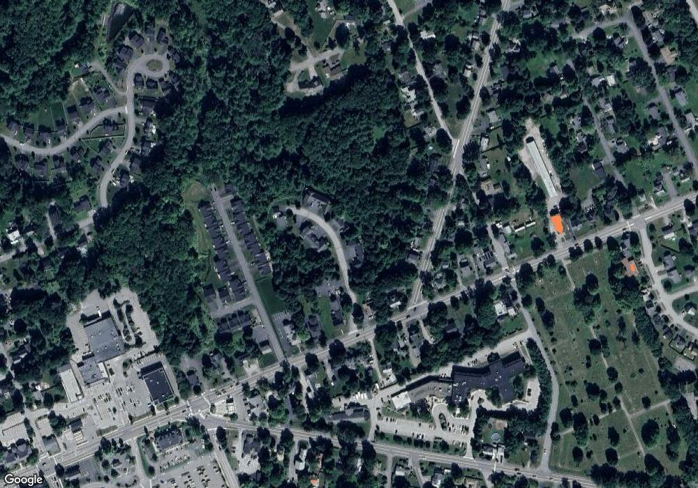
Map
Nearby Homes
- TBD Lochwood Dr
- 49 Lochwood Dr
- 13 Lochwood Dr
- 12 Strouts Way
- 17 Lochwood Dr
- 15 Green St
- 127 Falcon Crest Dr Unit 4
- 4 Geranium Dr
- 91 South St
- 195 Falcon Crest Dr Unit 34
- 193 Falcon Crest Dr Unit 33
- 191 Falcon Crest Dr Unit 32
- 189 Falcon Crest Dr Unit 31
- 194 Falcon Crest Dr Unit 60
- 187 Falcon Crest Dr Unit 30
- 192 Falcon Crest Dr Unit 59
- 182 Falcon Crest Dr Unit 56
- 16 Laurel Pines Dr
- 25 Patio Park Ln
- 14 Patio Park Ln
- 13 Landing Dr Unit 2
- 11 Landing Dr
- 11 Landing Dr Unit 1
- TBD Landing Dr
- 17 Landing Dr
- 17 Landing Dr Unit 3
- 18 Landing Dr
- 18 Landing Dr Unit 18
- 18 Landing Dr Unit 6
- ---- Karter Dr Unit 21
- 22 Landing Dr
- 22 Landing Dr Unit 7
- 180 Main St
- Lot10 Gray
- Lot12 Gray
- 21 Landing Dr
- 21 Landing Dr Unit 4
- Lot16 Gray
- 23 Landing Dr
- 23 Landing Dr Unit 23
Your Personal Tour Guide
Ask me questions while you tour the home.