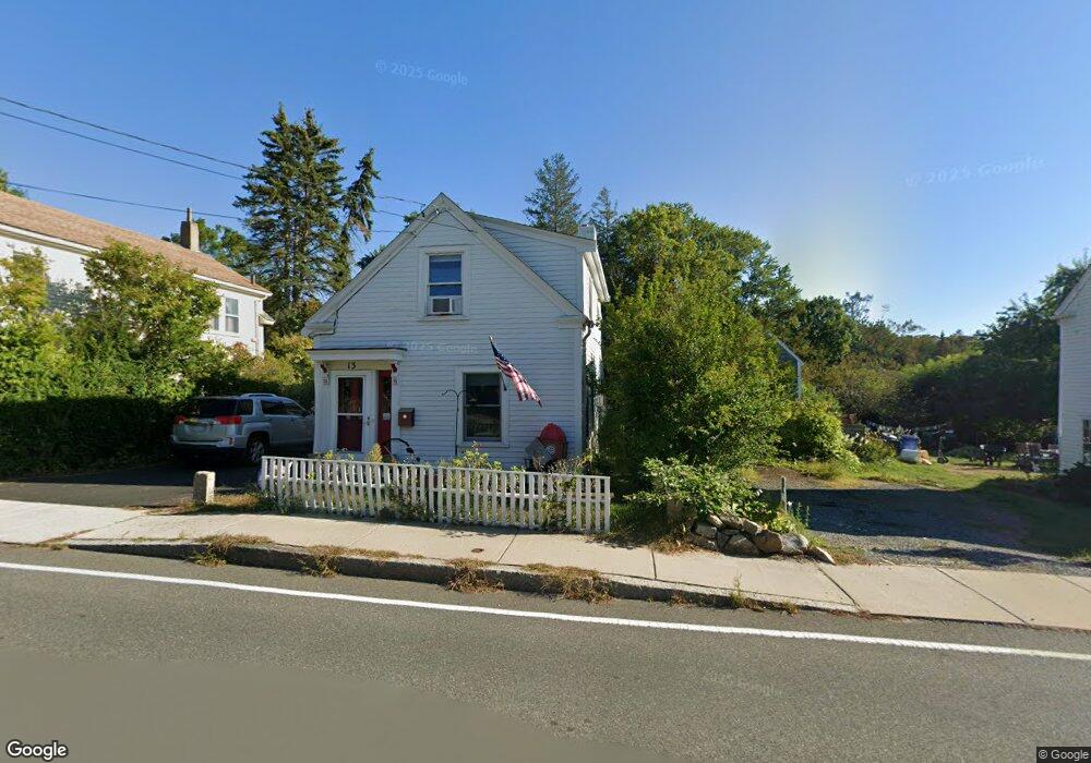
13 Langsford St Gloucester, MA 01930
Estimated Value: $631,000 - $771,000
2
Beds
3
Baths
1,143
Sq Ft
$619/Sq Ft
Est. Value
About This Home
This home is located at 13 Langsford St, Gloucester, MA 01930 and is currently estimated at $707,485, approximately $618 per square foot. 13 Langsford St is a home located in Essex County with nearby schools including Plum Cove School, Ralph B O'maley Middle School, and Gloucester High School.
Ownership History
Date
Name
Owned For
Owner Type
Purchase Details
Closed on
Jun 11, 2001
Sold by
Pmdj Tr
Bought by
Parsons Harold B and Parsons Carol A
Current Estimated Value
Home Financials for this Owner
Home Financials are based on the most recent Mortgage that was taken out on this home.
Original Mortgage
$85,000
Interest Rate
7.08%
Mortgage Type
Purchase Money Mortgage
Create a Home Valuation Report for This Property
The Home Valuation Report is an in-depth analysis detailing your home's value as well as a comparison with similar homes in the area
Purchase History
| Date | Buyer | Sale Price | Title Company |
|---|---|---|---|
| Parsons Harold B | $125,000 | -- |
Source: Public Records
Mortgage History
| Date | Status | Borrower | Loan Amount |
|---|---|---|---|
| Open | Parsons Harold B | $75,000 | |
| Closed | Parsons Harold B | $85,000 | |
| Previous Owner | Parsons Harold B | $10,000 |
Source: Public Records
Tax History
| Year | Tax Paid | Tax Assessment Tax Assessment Total Assessment is a certain percentage of the fair market value that is determined by local assessors to be the total taxable value of land and additions on the property. | Land | Improvement |
|---|---|---|---|---|
| 2025 | $4,953 | $509,600 | $204,000 | $305,600 |
| 2024 | $4,864 | $499,900 | $194,300 | $305,600 |
| 2023 | $4,666 | $440,600 | $173,500 | $267,100 |
| 2022 | $4,476 | $381,600 | $147,500 | $234,100 |
| 2021 | $4,320 | $347,300 | $134,100 | $213,200 |
| 2020 | $4,228 | $342,900 | $134,100 | $208,800 |
| 2019 | $4,016 | $316,500 | $134,100 | $182,400 |
| 2018 | $3,854 | $298,100 | $134,100 | $164,000 |
| 2017 | $3,737 | $283,300 | $127,700 | $155,600 |
| 2016 | $3,603 | $264,700 | $128,100 | $136,600 |
| 2015 | $3,471 | $254,300 | $128,100 | $126,200 |
Source: Public Records
Map
Nearby Homes
- 10 Emerald St
- 43 High St Unit B
- 9 Hickory St
- 1030 Washington St
- 4 Ciaramitaro Ct
- 136 Leonard St
- 94 Phillips Ave
- 13 Phillips Ave
- 32 Haven Ave
- 5 Boulder Top
- 33 Quarry Ridge Ln Unit 33
- 13 Rowe Point
- 5 Smith St Unit R
- 672 Washington St
- 1 Charte Ct
- 1 Main St Unit R
- 1 Main St Unit C
- 1 Jewett St Unit 2
- 177 Main St
- 1 High St
- 15 Langsford St
- 9 Langsford St
- 16 Langsford St
- 20 Langsford St
- 8 Munsey Ln
- 7 Langsford St
- 8 Langsford St
- 19 Langsford St
- 6 Munsey Ln
- 1102 Washington St
- 24 Langsford St
- 1100 Washington St
- 21 Langsford St
- 1096 Washington St
- 8 Old Farm Ln
- 6 Old Farm Ln
- 4 Old Farm Ln
- 5 Langsford St
- 1104 Washington St
- 1092 Washington St
Your Personal Tour Guide
Ask me questions while you tour the home.