13 Loon Island Ln Hebron, NH 03241
Estimated Value: $976,000 - $1,987,000
3
Beds
1
Bath
1,691
Sq Ft
$887/Sq Ft
Est. Value
About This Home
This home is located at 13 Loon Island Ln, Hebron, NH 03241 and is currently estimated at $1,499,379, approximately $886 per square foot. 13 Loon Island Ln is a home located in Grafton County with nearby schools including Bridgewater-Hebron Village School.
Ownership History
Date
Name
Owned For
Owner Type
Purchase Details
Closed on
Nov 21, 2016
Sold by
Bergin John R and Vallerelli Stephen P
Bought by
Lauren B Vallarelli Re
Current Estimated Value
Home Financials for this Owner
Home Financials are based on the most recent Mortgage that was taken out on this home.
Original Mortgage
$325,000
Outstanding Balance
$260,919
Interest Rate
3.42%
Mortgage Type
Unknown
Estimated Equity
$1,238,460
Purchase Details
Closed on
Apr 26, 2007
Sold by
Baker Janis D and Bergin Jeanne B
Bought by
Bergin John R and Vallarelli Stephanie P
Home Financials for this Owner
Home Financials are based on the most recent Mortgage that was taken out on this home.
Original Mortgage
$345,000
Interest Rate
6.18%
Mortgage Type
Purchase Money Mortgage
Create a Home Valuation Report for This Property
The Home Valuation Report is an in-depth analysis detailing your home's value as well as a comparison with similar homes in the area
Home Values in the Area
Average Home Value in this Area
Purchase History
| Date | Buyer | Sale Price | Title Company |
|---|---|---|---|
| Lauren B Vallarelli Re | -- | -- | |
| Bergin John R | $450,800 | -- |
Source: Public Records
Mortgage History
| Date | Status | Borrower | Loan Amount |
|---|---|---|---|
| Open | Bergin John R | $325,000 | |
| Previous Owner | Bergin John R | $345,000 |
Source: Public Records
Tax History Compared to Growth
Tax History
| Year | Tax Paid | Tax Assessment Tax Assessment Total Assessment is a certain percentage of the fair market value that is determined by local assessors to be the total taxable value of land and additions on the property. | Land | Improvement |
|---|---|---|---|---|
| 2024 | $9,430 | $1,349,100 | $1,195,400 | $153,700 |
| 2023 | $8,607 | $1,349,100 | $1,195,400 | $153,700 |
| 2022 | $9,197 | $1,346,600 | $1,195,400 | $151,200 |
| 2021 | $8,780 | $1,346,600 | $1,195,400 | $151,200 |
| 2020 | $7,827 | $815,300 | $708,700 | $106,600 |
| 2019 | $7,900 | $815,300 | $708,700 | $106,600 |
| 2018 | $6,816 | $815,300 | $708,700 | $106,600 |
| 2017 | $7,289 | $815,300 | $708,700 | $106,600 |
| 2016 | $6,783 | $815,300 | $708,700 | $106,600 |
| 2015 | $6,564 | $824,600 | $714,400 | $110,200 |
| 2014 | $6,745 | $824,600 | $714,400 | $110,200 |
| 2013 | $6,746 | $838,000 | $714,400 | $123,600 |
Source: Public Records
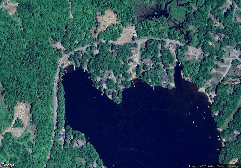
Map
Nearby Homes
- 10 Merrill Rd
- 431 George Rd
- Lot 26 Skyline Dr
- 0 Skyline Dr Unit 19
- 33 Winterberry Ln
- 497 W Shore Rd
- 613 Mayhew Turnpike Unit 227-024 & 227-023
- 00 Ledgewood Cir Unit 7
- 4 Birchwood Dr Unit A
- 76 Davis Rd Unit 3
- 171 Bell Rd
- 154 Bell Rd
- 862 Mayhew Turnpike Unit 1
- 341 Perkins Hill Rd
- 114 Ledgewood Terrace
- 582 N Groton Rd
- 193 New Hebron Rd
- 208 New Hebron Rd
- 199 Cottage City Rd
- 40 Adams Rd