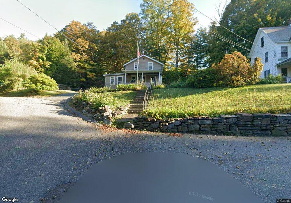
13 Maple St Huntington, MA 01050
Estimated Value: $188,000 - $306,000
3
Beds
1
Bath
1,418
Sq Ft
$166/Sq Ft
Est. Value
About This Home
This home is located at 13 Maple St, Huntington, MA 01050 and is currently estimated at $234,705, approximately $165 per square foot. 13 Maple St is a home located in Hampshire County with nearby schools including Gateway Regional High School.
Ownership History
Date
Name
Owned For
Owner Type
Purchase Details
Closed on
Jul 25, 2006
Sold by
Boguszewski Bonnie Jean and Durgin Bonnie M
Bought by
Dazelle Charles C
Current Estimated Value
Home Financials for this Owner
Home Financials are based on the most recent Mortgage that was taken out on this home.
Original Mortgage
$100,000
Outstanding Balance
$59,433
Interest Rate
6.67%
Mortgage Type
Purchase Money Mortgage
Estimated Equity
$175,272
Create a Home Valuation Report for This Property
The Home Valuation Report is an in-depth analysis detailing your home's value as well as a comparison with similar homes in the area
Home Values in the Area
Average Home Value in this Area
Purchase History
| Date | Buyer | Sale Price | Title Company |
|---|---|---|---|
| Dazelle Charles C | -- | -- |
Source: Public Records
Mortgage History
| Date | Status | Borrower | Loan Amount |
|---|---|---|---|
| Open | Dazelle Charles C | $100,000 |
Source: Public Records
Tax History Compared to Growth
Tax History
| Year | Tax Paid | Tax Assessment Tax Assessment Total Assessment is a certain percentage of the fair market value that is determined by local assessors to be the total taxable value of land and additions on the property. | Land | Improvement |
|---|---|---|---|---|
| 2025 | $2,777 | $180,300 | $35,500 | $144,800 |
| 2024 | $2,661 | $169,900 | $35,500 | $134,400 |
| 2023 | $2,709 | $158,900 | $32,400 | $126,500 |
| 2022 | $2,551 | $145,300 | $30,800 | $114,500 |
| 2021 | $2,645 | $132,300 | $30,800 | $101,500 |
| 2020 | $2,598 | $126,600 | $28,100 | $98,500 |
| 2019 | $2,522 | $126,600 | $28,100 | $98,500 |
| 2018 | $2,517 | $131,900 | $33,100 | $98,800 |
| 2017 | $2,381 | $131,900 | $33,100 | $98,800 |
| 2016 | $2,440 | $131,900 | $33,100 | $98,800 |
| 2015 | $2,299 | $133,500 | $33,100 | $100,400 |
Source: Public Records
Map
Nearby Homes
- 7 Stanton Ave
- 8 Basket St
- 0 Old Chester Rd
- 16 Crescent St
- 25 Basket St
- 49 Old Chester Rd
- 1172 Huntington Rd
- 0 Skyline Trail
- 0 Goss Hill Rd Unit 73369147
- 31 Skyline Trail
- 124 Skyline Trail
- 11 Mount Laurel Dr Unit 57
- 510 Pine Hill Rd
- 347 Huntington Rd
- 0 Pond Brook Rd Unit 73326747
- 12 Pond Brook Rd
- 0 E River Rd Lot 13 Map 409 Unit 72690617
- 14 Sampson Rd
- 81 Pomeroy Terrace
- 1 Searle Rd