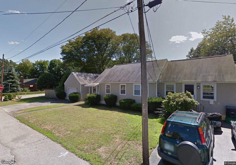
13 Monroe St Unit 15 Nashua, NH 03060
South End Nashua NeighborhoodEstimated Value: $564,000 - $629,000
5
Beds
2
Baths
2,950
Sq Ft
$203/Sq Ft
Est. Value
About This Home
This home is located at 13 Monroe St Unit 15, Nashua, NH 03060 and is currently estimated at $598,422, approximately $202 per square foot. 13 Monroe St Unit 15 is a home located in Hillsborough County with nearby schools including Fairgrounds Elementary School, Fairgrounds Middle School, and Nashua High School South.
Ownership History
Date
Name
Owned For
Owner Type
Purchase Details
Closed on
Nov 1, 2001
Sold by
Wilson Kenneth A and Wilson Cynthia L
Bought by
Massicotte Robert A and Massicotte Kathleen C
Current Estimated Value
Home Financials for this Owner
Home Financials are based on the most recent Mortgage that was taken out on this home.
Original Mortgage
$198,331
Interest Rate
6.82%
Create a Home Valuation Report for This Property
The Home Valuation Report is an in-depth analysis detailing your home's value as well as a comparison with similar homes in the area
Home Values in the Area
Average Home Value in this Area
Purchase History
| Date | Buyer | Sale Price | Title Company |
|---|---|---|---|
| Massicotte Robert A | $199,900 | -- |
Source: Public Records
Mortgage History
| Date | Status | Borrower | Loan Amount |
|---|---|---|---|
| Open | Massicotte Robert A | $140,000 | |
| Closed | Massicotte Robert A | $52,000 | |
| Closed | Massicotte Robert A | $176,250 | |
| Closed | Massicotte Robert A | $198,331 |
Source: Public Records
Tax History Compared to Growth
Tax History
| Year | Tax Paid | Tax Assessment Tax Assessment Total Assessment is a certain percentage of the fair market value that is determined by local assessors to be the total taxable value of land and additions on the property. | Land | Improvement |
|---|---|---|---|---|
| 2024 | $9,212 | $579,400 | $155,500 | $423,900 |
| 2023 | $9,051 | $496,500 | $124,300 | $372,200 |
| 2022 | $8,972 | $496,500 | $124,300 | $372,200 |
| 2021 | $7,667 | $330,200 | $82,900 | $247,300 |
| 2020 | $7,475 | $330,600 | $82,900 | $247,700 |
| 2019 | $7,194 | $330,600 | $82,900 | $247,700 |
| 2018 | $7,012 | $330,600 | $82,900 | $247,700 |
| 2017 | $6,432 | $249,400 | $76,200 | $173,200 |
| 2016 | $6,165 | $245,900 | $76,200 | $169,700 |
| 2015 | $6,032 | $245,900 | $76,200 | $169,700 |
| 2014 | -- | $245,000 | $76,200 | $168,800 |
Source: Public Records
Map
Nearby Homes
- 22 Kern Dr
- 97 Linwood St
- 30 Gingras Dr
- 169A W Hollis St Unit 193
- 22 New Dunstable Rd Unit 132133
- 41 New Dunstable Rd Unit 371
- 4 Badger St
- 63 Dexter St
- 22 Wilder St
- 11 Bordeaux St
- 30 Ledge St
- 15 Lovell St Unit 3
- 15 Lovell St Unit 7
- 15 Lovell St Unit 10
- 8 Buck St Unit 10
- 38 Central St
- 5 Mulberry St
- 24 E Otterson St
- 7 Bitirnas St Unit U7
- 6 Hayden St
- 27 Lewis St Unit 66
- 20 Monroe St
- 7 Monroe St
- 19 Monroe St Unit 69
- 8 Monroe St Unit 3032
- 21 Lewis St Unit 34
- 26 Lewis St
- 22 Lewis St Unit 117
- 5 Monroe St
- 24 Monroe St Unit 4044
- 21 Linwood St Unit 3537
- 235 Lake St
- 4 Monroe St Unit 120
- 18 Lewis St
- 15 Linwood St
- 237 Lake St Unit 5
- 5 Linwood St Unit 26
- 5 Linwood St
- 16 Earley St Unit 57
- 29 Linwood St Unit 43