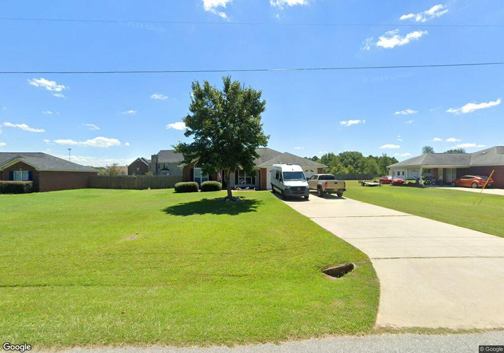
13 Moore Rd Fort Mitchell, AL 36856
Estimated Value: $210,000 - $273,000
3
Beds
2
Baths
1,632
Sq Ft
$148/Sq Ft
Est. Value
About This Home
This home is located at 13 Moore Rd, Fort Mitchell, AL 36856 and is currently estimated at $242,112, approximately $148 per square foot. 13 Moore Rd is a home located in Russell County with nearby schools including Russell County Middle School and Russell County High School.
Ownership History
Date
Name
Owned For
Owner Type
Purchase Details
Closed on
May 6, 2020
Bought by
Hillyard Jeremy Michael and Hillyard Katie Lynn
Current Estimated Value
Purchase Details
Closed on
May 1, 2013
Sold by
Conant Desiree L and Malubag Desiree L
Bought by
Malubag Daniel S M
Home Financials for this Owner
Home Financials are based on the most recent Mortgage that was taken out on this home.
Original Mortgage
$167,524
Interest Rate
3.44%
Mortgage Type
New Conventional
Purchase Details
Closed on
Jan 28, 2008
Sold by
Bowden -Littleton Construction Inc
Bought by
Malubag Daniel S M and Malubag Desiree L
Home Financials for this Owner
Home Financials are based on the most recent Mortgage that was taken out on this home.
Original Mortgage
$178,650
Interest Rate
6.17%
Mortgage Type
Purchase Money Mortgage
Create a Home Valuation Report for This Property
The Home Valuation Report is an in-depth analysis detailing your home's value as well as a comparison with similar homes in the area
Purchase History
| Date | Buyer | Sale Price | Title Company |
|---|---|---|---|
| Hillyard Jeremy Michael | $153,000 | -- | |
| Malubag Daniel S M | -- | -- | |
| Malubag Daniel S M | -- | -- |
Source: Public Records
Mortgage History
| Date | Status | Borrower | Loan Amount |
|---|---|---|---|
| Previous Owner | Malubag Daniel S M | $167,524 | |
| Previous Owner | Malubag Daniel S M | $178,650 |
Source: Public Records
Tax History
| Year | Tax Paid | Tax Assessment Tax Assessment Total Assessment is a certain percentage of the fair market value that is determined by local assessors to be the total taxable value of land and additions on the property. | Land | Improvement |
|---|---|---|---|---|
| 2024 | $1,502 | $41,720 | $4,000 | $37,720 |
| 2023 | $1,383 | $37,044 | $4,000 | $33,044 |
| 2022 | $581 | $17,515 | $2,000 | $15,515 |
| 2021 | $557 | $15,440 | $1,750 | $13,690 |
| 2020 | $562 | $15,600 | $1,760 | $13,840 |
| 2019 | $505 | $14,040 | $1,960 | $12,080 |
| 2018 | $432 | $13,400 | $1,960 | $11,440 |
| 2017 | $479 | $13,060 | $1,960 | $11,100 |
| 2016 | $479 | $13,300 | $1,960 | $11,340 |
| 2015 | $476 | $14,626 | $2,800 | $11,826 |
| 2014 | $455 | $14,017 | $2,800 | $11,217 |
Source: Public Records
Map
Nearby Homes
- 190 Sweetwater Branch Rd
- 37 Avery Place
- 62 Avery Place
- 62 Avery Dr
- 107 Oswichee Rd
- 70 Apache Trail
- 35 Creek Trail
- 39 Navajo Trail
- 43 Seminole Trail
- 5 Ottawa Trail
- 642 Nuckols Rd
- 418 Oswhichee Rd
- 37 Heartland Blvd
- 60 Heartland Blvd
- 35 Heartland Blvd
- 52 Heartland Blvd
- 54 Heartland Blvd
- 10 Registry Way
- 46 Heartland Blvd
- 44 Heartland Blvd
- 17 Moore Rd
- 9 Moore Rd
- 17 69 Acres Hwy 96 & I-75
- 23 Courtney Cir
- 5 Moore Rd
- 24 Courtney Cir
- 21 Moore Rd
- 21 Courtney Cir
- 1 Moore Rd
- 22 Courtney Cir
- 70 Sweetwater Branch Rd
- 2 Moore Rd
- 72 Sweetwater Branch Rd
- 19 Courtney Cir
- 20 Courtney Cir
- 27 Sweetwater Branch Rd
- 74 Sweetwater Branch Rd
- 18 Courtney Cir
- 17 Courtney Cir
- 76 Sweetwater Branch Rd
Your Personal Tour Guide
Ask me questions while you tour the home.