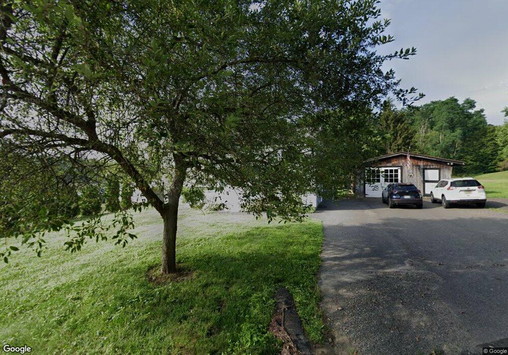
13 Mountain Rd North Hatfield, MA 01066
Estimated Value: $445,784 - $485,000
4
Beds
2
Baths
1,757
Sq Ft
$264/Sq Ft
Est. Value
About This Home
This home is located at 13 Mountain Rd, North Hatfield, MA 01066 and is currently estimated at $464,446, approximately $264 per square foot. 13 Mountain Rd is a home located in Hampshire County with nearby schools including Hatfield Elementary School and Smith Academy.
Ownership History
Date
Name
Owned For
Owner Type
Purchase Details
Closed on
Oct 5, 2022
Sold by
Darr John W
Bought by
Mason Karen E and Darr Joseph A
Current Estimated Value
Purchase Details
Closed on
Feb 24, 1981
Bought by
Darr John
Create a Home Valuation Report for This Property
The Home Valuation Report is an in-depth analysis detailing your home's value as well as a comparison with similar homes in the area
Home Values in the Area
Average Home Value in this Area
Purchase History
| Date | Buyer | Sale Price | Title Company |
|---|---|---|---|
| Mason Karen E | -- | None Available | |
| Darr John | -- | -- |
Source: Public Records
Mortgage History
| Date | Status | Borrower | Loan Amount |
|---|---|---|---|
| Previous Owner | Darr John | $30,000 |
Source: Public Records
Tax History
| Year | Tax Paid | Tax Assessment Tax Assessment Total Assessment is a certain percentage of the fair market value that is determined by local assessors to be the total taxable value of land and additions on the property. | Land | Improvement |
|---|---|---|---|---|
| 2025 | $5,533 | $399,800 | $180,800 | $219,000 |
| 2024 | $5,466 | $357,000 | $164,200 | $192,800 |
| 2023 | $3,944 | $292,600 | $112,200 | $180,400 |
| 2022 | $3,590 | $262,600 | $108,100 | $154,500 |
| 2021 | $3,528 | $248,600 | $103,900 | $144,700 |
| 2020 | $3,751 | $277,200 | $103,900 | $173,300 |
| 2019 | $3,352 | $241,300 | $83,100 | $158,200 |
| 2018 | $3,243 | $238,800 | $83,100 | $155,700 |
| 2017 | $3,084 | $233,300 | $79,000 | $154,300 |
| 2016 | $3,020 | $229,100 | $74,800 | $154,300 |
| 2015 | $3,020 | $229,300 | $74,800 | $154,500 |
| 2014 | $2,923 | $230,700 | $74,800 | $155,900 |
Source: Public Records
Map
Nearby Homes
- 151 Pantry Rd
- 0 Pantry Rd Unit 73430264
- 0 North St Unit 73407299
- 7 Christian Ln
- 182 Old Stage Rd
- 0 Straits Rd
- 17 Mountain St Unit B
- 12 Dwight St
- 18 Elm St
- 58 Main St Unit 4
- 58 Main St Unit 3
- 158 Main St
- 32 Stonewall Dr
- 3 Frost Ln
- 3 Deer Haven Dr
- 0 Haydenville Rd
- 0 Greenfield Rd Unit 73472322
- 0 Greenfield Rd Unit 73467449
- 88 Pines Edge Dr Unit 88
- 44 Evergreen Rd Unit 302
- 100 Mountain Rd
- 73 Mountain Rd
- 107 Westbrook Rd
- 103 Westbrook Rd
- 99 Westbrook Rd
- 99 Westbrook Rd
- 95 Westbrook Rd
- 144 Westbrook Rd
- 148 Westbrook Rd
- 0 Westbrook Rd (Nes) Unit 72059003
- 00 Westbrook Rd (Nes)
- 000 Westbrook Rd
- 91 Westbrook Rd
- 152 Westbrook Rd
- 143 Westbrook Rd
- 89 Westbrook Rd
- 87 Westbrook Rd
- 80 Westbrook Rd
- 155 Pantry Rd
- 155 Westbrook Rd
Your Personal Tour Guide
Ask me questions while you tour the home.