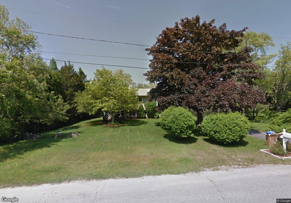
13 Mowrey Rd Westerly, RI 02891
Estimated Value: $540,485 - $607,000
3
Beds
3
Baths
1,910
Sq Ft
$302/Sq Ft
Est. Value
About This Home
This home is located at 13 Mowrey Rd, Westerly, RI 02891 and is currently estimated at $577,371, approximately $302 per square foot. 13 Mowrey Rd is a home located in Washington County with nearby schools including Westerly High School.
Ownership History
Date
Name
Owned For
Owner Type
Purchase Details
Closed on
Dec 28, 2006
Sold by
Woods Walter A and Woods Michelle M
Bought by
Rebello Kristy L
Current Estimated Value
Home Financials for this Owner
Home Financials are based on the most recent Mortgage that was taken out on this home.
Original Mortgage
$224,000
Outstanding Balance
$133,776
Interest Rate
6.29%
Mortgage Type
Purchase Money Mortgage
Estimated Equity
$443,595
Purchase Details
Closed on
Sep 15, 1999
Sold by
Sumpf Kathleen T
Bought by
Woods Walter and Woods Michelle
Purchase Details
Closed on
Aug 28, 1997
Sold by
Rowe-Drake Helen L
Bought by
Midolo David H and Sumpf Kathleen T
Create a Home Valuation Report for This Property
The Home Valuation Report is an in-depth analysis detailing your home's value as well as a comparison with similar homes in the area
Home Values in the Area
Average Home Value in this Area
Purchase History
| Date | Buyer | Sale Price | Title Company |
|---|---|---|---|
| Rebello Kristy L | $280,000 | -- | |
| Woods Walter | $145,000 | -- | |
| Midolo David H | $131,000 | -- |
Source: Public Records
Mortgage History
| Date | Status | Borrower | Loan Amount |
|---|---|---|---|
| Open | Midolo David H | $224,000 | |
| Closed | Midolo David H | $26,000 |
Source: Public Records
Tax History Compared to Growth
Tax History
| Year | Tax Paid | Tax Assessment Tax Assessment Total Assessment is a certain percentage of the fair market value that is determined by local assessors to be the total taxable value of land and additions on the property. | Land | Improvement |
|---|---|---|---|---|
| 2025 | $2,933 | $412,500 | $186,100 | $226,400 |
| 2024 | $3,141 | $320,200 | $132,900 | $187,300 |
| 2023 | $3,080 | $320,200 | $132,900 | $187,300 |
| 2022 | $3,061 | $320,200 | $132,900 | $187,300 |
| 2021 | $3,044 | $264,200 | $115,500 | $148,700 |
| 2020 | $2,988 | $264,200 | $115,500 | $148,700 |
| 2019 | $2,959 | $264,200 | $115,500 | $148,700 |
| 2018 | $3,048 | $256,600 | $115,500 | $141,100 |
| 2017 | $2,974 | $256,600 | $115,500 | $141,100 |
| 2016 | $2,997 | $256,600 | $115,500 | $141,100 |
| 2015 | $2,795 | $258,300 | $118,000 | $140,300 |
| 2014 | $2,748 | $258,300 | $118,000 | $140,300 |
Source: Public Records
Map
Nearby Homes
- 14 Piezzo Dr
- 5 Robin Hollow Ln
- 342 Post Rd
- 346 Post Rd
- 11 Bucks Trail
- 30 Clifford Dr
- 33 Stuart St
- 10 Morris Rd
- 2 Belle Rose Dr Unit A
- 17 Plateau Rd
- 15 Breach Dr
- 12 Fallon Trail
- 7 Fenway Rd
- 137 Cove Point Rd E
- 597 Atlantic Ave
- 118 Dunns Corner Rd
- 5259 Old Post Rd
- 135 Ross Hill Rd
- 194 Ross Hill Rd
- 54 Sherwood Dr