13 Northgate Ct North Grafton, MA 01536
Estimated Value: $573,000 - $659,192
3
Beds
3
Baths
2,176
Sq Ft
$284/Sq Ft
Est. Value
About This Home
This home is located at 13 Northgate Ct, North Grafton, MA 01536 and is currently estimated at $617,548, approximately $283 per square foot. 13 Northgate Ct is a home located in Worcester County with nearby schools including Grafton High School, Silver Spruce Montessori School, and Al-Hamra Academy.
Ownership History
Date
Name
Owned For
Owner Type
Purchase Details
Closed on
Jun 22, 2017
Sold by
Leonard Jane K
Bought by
Raphael Norman F and Raphael Martha J
Current Estimated Value
Home Financials for this Owner
Home Financials are based on the most recent Mortgage that was taken out on this home.
Original Mortgage
$266,250
Outstanding Balance
$221,646
Interest Rate
4.05%
Mortgage Type
New Conventional
Estimated Equity
$395,902
Purchase Details
Closed on
Aug 8, 2001
Sold by
Art Lot Acres Dev Corp
Bought by
Leonard Thomas G and Leonard Jane K
Create a Home Valuation Report for This Property
The Home Valuation Report is an in-depth analysis detailing your home's value as well as a comparison with similar homes in the area
Home Values in the Area
Average Home Value in this Area
Purchase History
| Date | Buyer | Sale Price | Title Company |
|---|---|---|---|
| Raphael Norman F | $355,000 | -- | |
| Leonard Thomas G | $311,106 | -- |
Source: Public Records
Mortgage History
| Date | Status | Borrower | Loan Amount |
|---|---|---|---|
| Open | Raphael Norman F | $266,250 |
Source: Public Records
Tax History Compared to Growth
Tax History
| Year | Tax Paid | Tax Assessment Tax Assessment Total Assessment is a certain percentage of the fair market value that is determined by local assessors to be the total taxable value of land and additions on the property. | Land | Improvement |
|---|---|---|---|---|
| 2025 | $8,142 | $584,100 | $0 | $584,100 |
| 2024 | $7,961 | $556,300 | $0 | $556,300 |
| 2023 | $7,263 | $462,300 | $0 | $462,300 |
| 2022 | $6,514 | $385,900 | $0 | $385,900 |
| 2021 | $6,630 | $385,900 | $0 | $385,900 |
| 2020 | $6,060 | $367,300 | $0 | $367,300 |
| 2019 | $5,656 | $339,500 | $0 | $339,500 |
| 2018 | $5,486 | $330,700 | $0 | $330,700 |
| 2017 | $5,822 | $355,000 | $0 | $355,000 |
| 2016 | $4,888 | $291,800 | $0 | $291,800 |
| 2015 | $4,754 | $288,100 | $0 | $288,100 |
| 2014 | $4,396 | $288,100 | $0 | $288,100 |
Source: Public Records
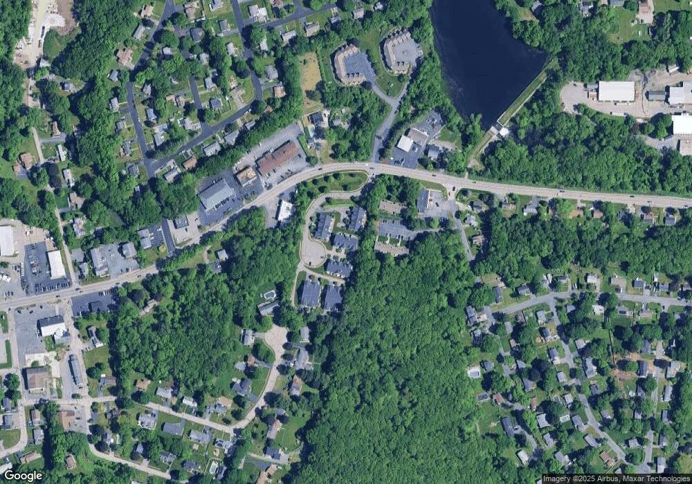
Map
Nearby Homes
- 14 Northgate Ct Unit 14
- 194 Worcester St
- 11 Hovey Pond Dr Unit 11
- 7 Hovey Pond Dr Unit 7
- 22 Beverly Rd
- 17 Hingham Rd
- 44 Meadow Ln
- 76 Samuel Dr
- 4 Westboro Rd
- 21 Lordvale Blvd Unit 406
- 5 Lincoln Ln Unit 5
- 1 Hastings Ave
- 28 Lincoln Ln
- 46 John Dr Unit 46
- 5 Edward Dr
- 0 East St
- 156 Brigham Hill Rd
- 3 Abby Rd
- 15 Windle Ave
- 4 Winslow Ln Unit 1410
- 13 Northgate Ct Unit 13
- 13 Northgate Ct Unit 3,7
- 3 Northgate Ct Unit 2
- 25 Northgate Ct
- 24 Northgate Ct
- 22 Northgate Ct
- 21 Northgate Ct
- 19 Northgate Ct
- 20 Northgate Ct
- 12 Northgate Ct
- 17 Northgate Ct
- 15 Northgate Ct
- 9 Northgate Ct
- 7 Northgate Ct
- 3 Northgate Ct
- 1 Northgate Ct
- 21 Northgate Ct Unit 16-C
- 21 Northgate Ct Unit 21
- 9 Northgate Ct Unit 9
- 3 Northgate Ct Unit 3