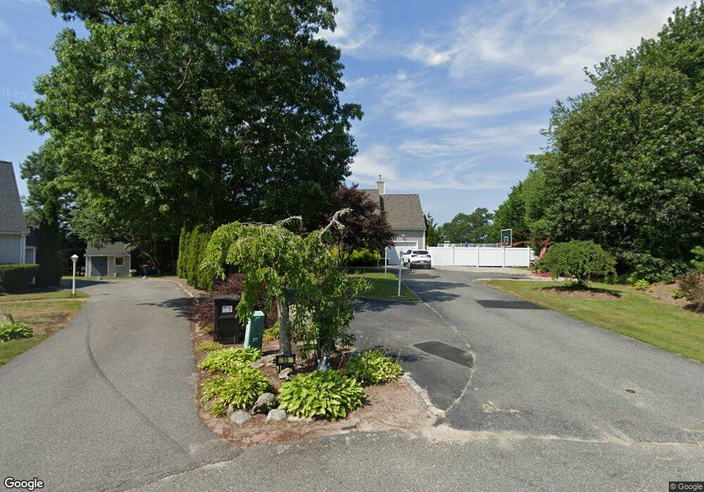
13 Oakdale Heights Ln Wareham, MA 02571
Estimated Value: $542,262 - $662,000
3
Beds
3
Baths
1,717
Sq Ft
$351/Sq Ft
Est. Value
About This Home
This home is located at 13 Oakdale Heights Ln, Wareham, MA 02571 and is currently estimated at $602,066, approximately $350 per square foot. 13 Oakdale Heights Ln is a home located in Plymouth County.
Ownership History
Date
Name
Owned For
Owner Type
Purchase Details
Closed on
Oct 16, 2000
Sold by
Oakdale Heights Rt and Druley John L
Bought by
Suarez Catherine and Suarez Osvaldo J
Current Estimated Value
Home Financials for this Owner
Home Financials are based on the most recent Mortgage that was taken out on this home.
Original Mortgage
$176,005
Outstanding Balance
$64,049
Interest Rate
7.89%
Mortgage Type
Purchase Money Mortgage
Estimated Equity
$538,017
Create a Home Valuation Report for This Property
The Home Valuation Report is an in-depth analysis detailing your home's value as well as a comparison with similar homes in the area
Purchase History
| Date | Buyer | Sale Price | Title Company |
|---|---|---|---|
| Suarez Catherine | $186,000 | -- | |
| Suarez Catherine | $186,000 | -- |
Source: Public Records
Mortgage History
| Date | Status | Borrower | Loan Amount |
|---|---|---|---|
| Open | Suarez Catherine | $10,517 | |
| Closed | Suarez Catherine | $10,600 | |
| Open | Suarez Catherine | $176,005 | |
| Closed | Suarez Catherine | $176,005 | |
| Closed | Suarez Catherine | $18,600 |
Source: Public Records
Tax History
| Year | Tax Paid | Tax Assessment Tax Assessment Total Assessment is a certain percentage of the fair market value that is determined by local assessors to be the total taxable value of land and additions on the property. | Land | Improvement |
|---|---|---|---|---|
| 2025 | $4,885 | $468,800 | $107,000 | $361,800 |
| 2024 | $5,103 | $454,400 | $84,400 | $370,000 |
| 2023 | $4,842 | $402,500 | $76,700 | $325,800 |
| 2022 | $4,403 | $334,100 | $76,700 | $257,400 |
| 2021 | $129 | $322,100 | $76,700 | $245,400 |
| 2020 | $126 | $310,000 | $76,700 | $233,300 |
| 2019 | $129 | $303,700 | $76,500 | $227,200 |
| 2018 | $128 | $271,100 | $76,500 | $194,600 |
| 2017 | $153 | $267,000 | $76,500 | $190,500 |
| 2016 | $3,443 | $254,500 | $76,500 | $178,000 |
| 2015 | $3,326 | $254,500 | $76,500 | $178,000 |
| 2014 | $2,995 | $233,100 | $71,700 | $161,400 |
Source: Public Records
Map
Nearby Homes
- 10 Oak St
- 110 Mayflower Ridge Dr
- 2697 Cranberry Hwy Unit 21
- 2645 Cranberry Hwy Unit A
- 437 Main St
- 106 Circuit Ave
- 2711 Cranberry Hwy
- 156 Sandwich Rd
- 10 Longmeadow Dr
- 6 Bourne Terrace
- 4 Mather Dr
- 15 Broadmarsh Ave
- 6 Allen Ave
- 20 Grant St
- 43 Shore Ave
- 233 Marion Rd
- 6 Pine St
- 6 Wildwood Ave
- 124 Minot Ave Unit 1
- 7 Cranberry Ln
- 15 Oakdale Heights Ln
- 11 Oakdale Heights Ln
- 13 Avenue A St
- 17 Avenue A St Unit a
- 17 Avenue A St
- 10 Hollow Tree Ave
- 11 Avenue A St
- 15 Avenue A St
- 16 Oakdale Heights Ln
- 7 Oakdale Heights Ln
- 8 Hollow Tree Ave
- 9 Avenue A St
- 5 Hollow Tree Ave
- 19 Avenue A St
- 14 Oakdale Heights Ln
- 12 Oakdale Heights Ln
- 3 Oakdale Heights Ln
- 14 Avenue A St
- 12 Avenue A St
- 10 Avenue A St
Your Personal Tour Guide
Ask me questions while you tour the home.