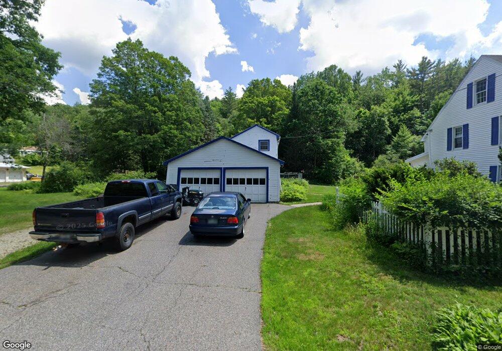
13 Old Sullivan Rd Gilsum, NH 03448
Estimated Value: $247,000 - $618,394
5
Beds
4
Baths
4,335
Sq Ft
$113/Sq Ft
Est. Value
About This Home
This home is located at 13 Old Sullivan Rd, Gilsum, NH 03448 and is currently estimated at $489,599, approximately $112 per square foot. 13 Old Sullivan Rd is a home with nearby schools including Gilsum STEAM Academy and Leaf Charter School.
Ownership History
Date
Name
Owned For
Owner Type
Purchase Details
Closed on
Oct 8, 2004
Sold by
Lincoln Leroy R and Lincoln Marilyn B
Bought by
Jacod Joellen
Current Estimated Value
Home Financials for this Owner
Home Financials are based on the most recent Mortgage that was taken out on this home.
Original Mortgage
$100,000
Interest Rate
5.84%
Mortgage Type
Purchase Money Mortgage
Create a Home Valuation Report for This Property
The Home Valuation Report is an in-depth analysis detailing your home's value as well as a comparison with similar homes in the area
Home Values in the Area
Average Home Value in this Area
Purchase History
| Date | Buyer | Sale Price | Title Company |
|---|---|---|---|
| Jacod Joellen | $285,000 | -- |
Source: Public Records
Mortgage History
| Date | Status | Borrower | Loan Amount |
|---|---|---|---|
| Open | Jacod Joellen | $272,000 | |
| Closed | Jacod Joellen | $280,000 | |
| Closed | Jacod Joellen | $100,000 |
Source: Public Records
Tax History Compared to Growth
Tax History
| Year | Tax Paid | Tax Assessment Tax Assessment Total Assessment is a certain percentage of the fair market value that is determined by local assessors to be the total taxable value of land and additions on the property. | Land | Improvement |
|---|---|---|---|---|
| 2024 | $8,942 | $615,000 | $122,700 | $492,300 |
| 2023 | $7,762 | $298,200 | $63,700 | $234,500 |
| 2022 | $7,029 | $298,200 | $63,700 | $234,500 |
| 2021 | $6,918 | $298,200 | $63,700 | $234,500 |
| 2020 | $7,679 | $298,200 | $63,700 | $234,500 |
| 2019 | $8,353 | $298,200 | $63,700 | $234,500 |
| 2018 | $8,641 | $323,400 | $52,800 | $270,600 |
| 2017 | $9,582 | $323,400 | $52,800 | $270,600 |
| 2016 | $8,716 | $323,400 | $52,800 | $270,600 |
| 2015 | $8,828 | $330,900 | $52,800 | $278,100 |
| 2014 | $9,752 | $330,900 | $52,800 | $278,100 |
| 2013 | $10,105 | $375,100 | $63,000 | $312,100 |
Source: Public Records
Map
Nearby Homes
- 00 High St Unit 1
- 29 Nash Corner Rd
- 16 Nash Corner Rd
- 0 Teela Dr Unit 5037010
- 101 Vessel Rock Rd
- 101 Gilsum Rd
- Lot 53 Apple Hill Rd
- 24 White Brook Dr
- 105 South Rd
- Lot 4 Belvedere Rd
- 225B Belvedere Rd
- 17 Dort Rd
- 28 Village Rd
- 258 Valley Rd
- 32 Blueberry Hill Ln
- 0 Connor Dr
- 95 Apple Hill Rd
- 00 Alstead Center Rd
- 6 Mill St
- 33 Maclean Rd
- 14 Old Sullivan Rd
- 6 Old Sullivan Rd
- 674 Route 10
- 15 Old Sullivan Rd
- 23 Riverside St
- 17 Riverside Rd
- 22 Old Sullivan Rd
- 5 Old Sullivan Rd
- 691 Route 10
- 19 Old Sullivan Rd
- 660 Route 10
- 660 New Hampshire 10
- 13 Mack Rd
- 16 Mack Rd
- 25 Mack Rd
- 8 Mack Rd
- 29 Mack Rd
- 659 Route 10
- 651 Route 10
- 651 New Hampshire 10