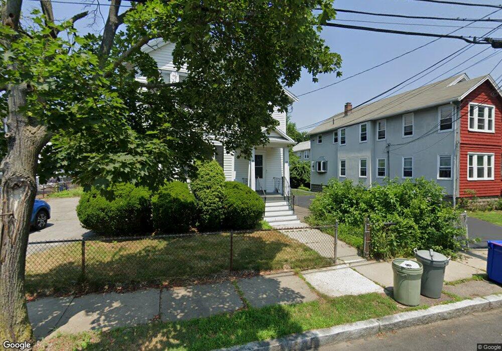
13 Osborne Rd Arlington, MA 02474
East Arlington NeighborhoodEstimated Value: $1,271,000 - $1,374,000
4
Beds
3
Baths
2,162
Sq Ft
$614/Sq Ft
Est. Value
About This Home
This home is located at 13 Osborne Rd, Arlington, MA 02474 and is currently estimated at $1,326,810, approximately $613 per square foot. 13 Osborne Rd is a home located in Middlesex County with nearby schools including Hardy Elementary School, Ottoson Middle School, and Arlington High School.
Ownership History
Date
Name
Owned For
Owner Type
Purchase Details
Closed on
Jul 2, 2021
Sold by
Orourke William F
Bought by
Gatti Daniel and Gatti Rebecca
Current Estimated Value
Home Financials for this Owner
Home Financials are based on the most recent Mortgage that was taken out on this home.
Original Mortgage
$948,000
Outstanding Balance
$856,424
Interest Rate
2.9%
Mortgage Type
Purchase Money Mortgage
Estimated Equity
$470,386
Purchase Details
Closed on
Oct 31, 1995
Sold by
Dang Tao T and Nguyen Ut T
Bought by
Orourke William F
Home Financials for this Owner
Home Financials are based on the most recent Mortgage that was taken out on this home.
Original Mortgage
$221,825
Interest Rate
7.6%
Mortgage Type
Purchase Money Mortgage
Create a Home Valuation Report for This Property
The Home Valuation Report is an in-depth analysis detailing your home's value as well as a comparison with similar homes in the area
Home Values in the Area
Average Home Value in this Area
Purchase History
| Date | Buyer | Sale Price | Title Company |
|---|---|---|---|
| Gatti Daniel | $1,200,000 | None Available | |
| Gatti Daniel | $1,200,000 | None Available | |
| Orourke William F | $233,500 | -- | |
| Orourke William F | $233,500 | -- |
Source: Public Records
Mortgage History
| Date | Status | Borrower | Loan Amount |
|---|---|---|---|
| Open | Gatti Daniel | $948,000 | |
| Closed | Gatti Daniel | $948,000 | |
| Previous Owner | Orourke William F | $221,825 |
Source: Public Records
Tax History Compared to Growth
Tax History
| Year | Tax Paid | Tax Assessment Tax Assessment Total Assessment is a certain percentage of the fair market value that is determined by local assessors to be the total taxable value of land and additions on the property. | Land | Improvement |
|---|---|---|---|---|
| 2025 | $12,015 | $1,115,600 | $586,000 | $529,600 |
| 2024 | $11,097 | $1,047,900 | $557,800 | $490,100 |
| 2023 | $11,120 | $992,000 | $467,600 | $524,400 |
| 2022 | $11,082 | $970,400 | $450,700 | $519,700 |
| 2021 | $10,742 | $947,300 | $450,700 | $496,600 |
| 2020 | $10,478 | $947,400 | $450,700 | $496,700 |
| 2019 | $9,552 | $848,300 | $478,900 | $369,400 |
| 2018 | $5,717 | $696,600 | $349,300 | $347,300 |
| 2017 | $7,917 | $630,300 | $304,300 | $326,000 |
| 2016 | $7,491 | $585,200 | $259,200 | $326,000 |
| 2015 | $7,377 | $544,400 | $253,500 | $290,900 |
Source: Public Records
Map
Nearby Homes
- 31 Mott St Unit 31A
- 137-139 Thorndike St Unit 2
- 128 Thorndike St Unit 2
- 22 Hamilton Rd Unit 206
- 230 Massachusetts Ave Unit 6
- 215 Massachusetts Ave Unit 19 (34)
- 18 Belknap St Unit 2
- 18 Belknap St Unit 1
- 3 Seagrave Rd
- 25-27 Adams St
- 63 Loomis St Unit 63
- 23 Brookford St
- 23 Brookford St Unit 2
- 23 Brookford St Unit 1
- 42-44 Warren St Unit 42
- 23 Loomis St Unit 23
- 112 Jackson St
- 19 Cottage Park Ave
- 127 Harvey St
- 127 Harvey St Unit 127
- 13 Osborne Rd Unit 15
- 17 Osborne Rd Unit 19
- 17-19 Osborne Rd Unit 19
- 17-19 Osborne Rd Unit 17
- 17 Osborne Rd Unit 17
- 11 Osborne Rd
- 9 Osborne Rd
- 14 Dorothy Rd
- 14-16 Dorothy Rd Unit 14
- 14-16 Dorothy Rd Unit 16
- 14-16 Dorothy Rd
- 16 Dorothy Rd
- 10 Dorothy Rd Unit 12
- 18 Dorothy Rd Unit 20
- 57 Osborne Rd
- 14 Osborne Rd
- 14-16 Osborne Rd Unit 16
- 18 Osborne Rd Unit 20
- 16 Osborne Rd
- 16 Osborne Rd Unit 14