13 Osgood Ln Eustis, ME 04936
Estimated Value: $153,769 - $211,000
1
Bed
1
Bath
510
Sq Ft
$374/Sq Ft
Est. Value
About This Home
This home is located at 13 Osgood Ln, Eustis, ME 04936 and is currently estimated at $190,692, approximately $373 per square foot. 13 Osgood Ln is a home with nearby schools including Stratton Elementary School.
Create a Home Valuation Report for This Property
The Home Valuation Report is an in-depth analysis detailing your home's value as well as a comparison with similar homes in the area
Tax History
| Year | Tax Paid | Tax Assessment Tax Assessment Total Assessment is a certain percentage of the fair market value that is determined by local assessors to be the total taxable value of land and additions on the property. | Land | Improvement |
|---|---|---|---|---|
| 2025 | $1,093 | $124,200 | $56,600 | $67,600 |
| 2024 | $997 | $113,900 | $48,400 | $65,500 |
| 2023 | $973 | $108,700 | $41,400 | $67,300 |
| 2022 | $780 | $82,100 | $41,400 | $40,700 |
| 2021 | $823 | $63,800 | $32,500 | $31,300 |
| 2020 | $798 | $63,800 | $32,500 | $31,300 |
| 2019 | $773 | $63,900 | $32,500 | $31,400 |
| 2018 | $837 | $63,900 | $32,500 | $31,400 |
| 2017 | $832 | $64,000 | $32,500 | $31,500 |
| 2016 | $817 | $64,000 | $32,500 | $31,500 |
| 2015 | $845 | $64,000 | $32,500 | $31,500 |
| 2014 | -- | $65,100 | $32,500 | $32,600 |
| 2009 | -- | $70,500 | $32,900 | $37,600 |
Source: Public Records
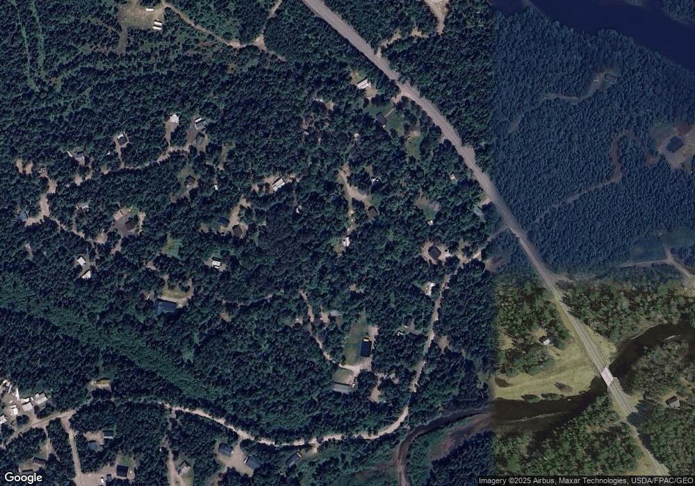
Map
Nearby Homes
- 1480 Arnold Trail
- 118 Glidden Rd
- 59 Eustis Village Rd
- 54 Eustis Village Rd
- 60&66 Gravel Pit Rd
- 233 Porter Nadeau Rd
- 95-4 Lot D Porter Nadeau Rd
- 6-01 Eustis Ridge Rd
- 484 Eustis Ridge Rd
- 81 B Red Pine Ln
- 27 Peabody Rd
- 9 Tranquility Ln
- 186 Main St
- 14 Dam Rd
- 11 Porcupine Trail
- 27 Reed Rd
- 42 Rabbit Hollow Rd
- 64 Ip Rd
- 4004 Bigelow Station
- 5 Lyons Ln Unit 1
- 28 Eustis Pkwy
- 10 Osgood Ln
- 124 Eustis Pkwy
- 104 Eustis Pkwy
- 25 Tim Pond Rd
- 34 Eustis Pkwy
- 8 Spruce Rd
- Lot 31 Eustis Pkwy
- 136 Eustis Pkwy
- 17 Tim Pond Rd
- 6 Osgood Ln
- 11 Tim Pond Rd
- 36 Eustis Pkwy
- 1538 the Arnold Trail
- 29 Tim Pond Rd
- 15 Eustis Pkwy
- 1554 Arnold Trail
- 1532 the Arnold Trail
- 43 Eustis Pkwy
- 135 Eustis Pkwy
Your Personal Tour Guide
Ask me questions while you tour the home.