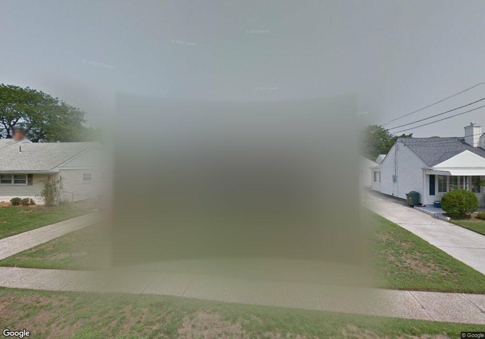
13 Paul Rd Maple Shade, NJ 08052
Estimated Value: $280,130 - $399,000
Studio
--
Bath
1,741
Sq Ft
$210/Sq Ft
Est. Value
About This Home
This home is located at 13 Paul Rd, Maple Shade, NJ 08052 and is currently estimated at $366,283, approximately $210 per square foot. 13 Paul Rd is a home located in Burlington County with nearby schools including Maude M. Wilkins Elementary School, Ralph J Steinhauer Elementary School, and Howard R Yocum School.
Ownership History
Date
Name
Owned For
Owner Type
Purchase Details
Closed on
Apr 23, 2003
Sold by
Festa Lisa M and Festa Michael J
Bought by
Festa Michael J and Festa Lisa M
Current Estimated Value
Home Financials for this Owner
Home Financials are based on the most recent Mortgage that was taken out on this home.
Original Mortgage
$117,400
Outstanding Balance
$20,813
Interest Rate
5.86%
Mortgage Type
Purchase Money Mortgage
Estimated Equity
$345,471
Purchase Details
Closed on
Jan 31, 2000
Sold by
Wood Barry S and Wood Desa D
Bought by
Rivera Lisa M and Festa Michael J
Home Financials for this Owner
Home Financials are based on the most recent Mortgage that was taken out on this home.
Original Mortgage
$116,733
Interest Rate
7.91%
Mortgage Type
FHA
Create a Home Valuation Report for This Property
The Home Valuation Report is an in-depth analysis detailing your home's value as well as a comparison with similar homes in the area
Home Values in the Area
Average Home Value in this Area
Purchase History
| Date | Buyer | Sale Price | Title Company |
|---|---|---|---|
| Festa Michael J | -- | First American Title Ins Co | |
| Rivera Lisa M | $117,000 | -- |
Source: Public Records
Mortgage History
| Date | Status | Borrower | Loan Amount |
|---|---|---|---|
| Open | Festa Michael J | $117,400 | |
| Closed | Rivera Lisa M | $116,733 |
Source: Public Records
Tax History
| Year | Tax Paid | Tax Assessment Tax Assessment Total Assessment is a certain percentage of the fair market value that is determined by local assessors to be the total taxable value of land and additions on the property. | Land | Improvement |
|---|---|---|---|---|
| 2025 | $6,503 | $171,300 | $48,800 | $122,500 |
| 2024 | $6,314 | $171,300 | $48,800 | $122,500 |
| 2023 | $6,314 | $171,300 | $48,800 | $122,500 |
| 2022 | $6,216 | $171,300 | $48,800 | $122,500 |
| 2021 | $6,157 | $171,300 | $48,800 | $122,500 |
| 2020 | $6,174 | $171,300 | $48,800 | $122,500 |
| 2019 | $5,948 | $171,300 | $48,800 | $122,500 |
| 2018 | $5,845 | $171,300 | $48,800 | $122,500 |
| 2017 | $5,776 | $171,300 | $48,800 | $122,500 |
| 2016 | $5,691 | $171,300 | $48,800 | $122,500 |
| 2015 | $5,567 | $171,300 | $48,800 | $122,500 |
| 2014 | $5,398 | $171,300 | $48,800 | $122,500 |
Source: Public Records
Map
Nearby Homes
Your Personal Tour Guide
Ask me questions while you tour the home.