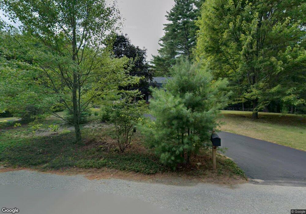
13 Pearl Brook Rd West Townsend, MA 01474
Estimated Value: $491,348 - $562,000
3
Beds
2
Baths
2,081
Sq Ft
$258/Sq Ft
Est. Value
About This Home
This home is located at 13 Pearl Brook Rd, West Townsend, MA 01474 and is currently estimated at $536,587, approximately $257 per square foot. 13 Pearl Brook Rd is a home located in Middlesex County with nearby schools including North Middlesex Regional High School.
Ownership History
Date
Name
Owned For
Owner Type
Purchase Details
Closed on
Aug 19, 2020
Sold by
Forest Nancy M
Bought by
Nancy Forest Lt
Current Estimated Value
Purchase Details
Closed on
Dec 11, 1987
Sold by
Benoit Barbara J
Bought by
Orourke James D
Purchase Details
Closed on
Sep 3, 1987
Sold by
Shine Walter D
Bought by
Benoit Barbara J
Create a Home Valuation Report for This Property
The Home Valuation Report is an in-depth analysis detailing your home's value as well as a comparison with similar homes in the area
Home Values in the Area
Average Home Value in this Area
Purchase History
| Date | Buyer | Sale Price | Title Company |
|---|---|---|---|
| Nancy Forest Lt | -- | None Available | |
| Orourke James D | $138,500 | -- | |
| Benoit Barbara J | $134,300 | -- |
Source: Public Records
Mortgage History
| Date | Status | Borrower | Loan Amount |
|---|---|---|---|
| Previous Owner | Benoit Barbara J | $78,500 | |
| Previous Owner | Benoit Barbara J | $50,000 |
Source: Public Records
Tax History Compared to Growth
Tax History
| Year | Tax Paid | Tax Assessment Tax Assessment Total Assessment is a certain percentage of the fair market value that is determined by local assessors to be the total taxable value of land and additions on the property. | Land | Improvement |
|---|---|---|---|---|
| 2025 | $6,186 | $426,000 | $95,100 | $330,900 |
| 2024 | $6,018 | $417,600 | $95,100 | $322,500 |
| 2023 | $5,929 | $388,500 | $82,100 | $306,400 |
| 2022 | $5,871 | $333,400 | $75,200 | $258,200 |
| 2021 | $5,719 | $312,000 | $74,400 | $237,600 |
| 2020 | $5,520 | $282,800 | $67,400 | $215,400 |
| 2019 | $5,271 | $272,700 | $67,400 | $205,300 |
| 2018 | $4,958 | $244,700 | $60,500 | $184,200 |
| 2017 | $4,676 | $237,700 | $63,500 | $174,200 |
| 2016 | $4,495 | $227,000 | $63,500 | $163,500 |
| 2015 | $4,342 | $227,200 | $70,500 | $156,700 |
| 2014 | $4,127 | $210,900 | $66,100 | $144,800 |
Source: Public Records
Map
Nearby Homes
- 91 Lunenburg Rd
- 53 W Meadow Rd
- 86 W Elm Lunenburg Rd Blood Rd
- 114 Blood Rd
- 11 Fox Run
- 18 Bridle Path
- 20 Bayberry Hill Rd
- 30 Bailey Rd
- 0 Davis Rd
- 58 Stone Brook Ln
- 155 County Rd
- 1 Depot Street Extension Unit 2
- 1 Depot Street Extension Unit 5
- 1 Depot Street Extension Unit 3
- 1 Depot Street Extension Unit 4
- 637 Mason Rd
- 0 Tyler Rd Unit 72560808
- 531 Mason Rd
- 1275 Valley Rd
- 10 Stearns Ave
- 11 Pearl Brook Rd
- 10 Pearl Brook Ln
- 14 Pearl Brook Rd
- 12 Pearl Brook Rd
- 10 Pearl Brook Rd
- 9 Pearl Brook Ln
- 8 Pearl Brook Rd
- 7 Pearl Brook Rd
- 6 Pearl Brook Rd
- 5 Pearl Brook Rd
- 4 Pearl Brook Rd
- 3 Pearl Brook Rd
- 2 Pearl Brook Rd
- 1 Pearl Brook Rd
- 538 Main St Unit R
- 538 Main St
- 532 Main St
- 534 Main St
- 528 Main St
- 526 Main St