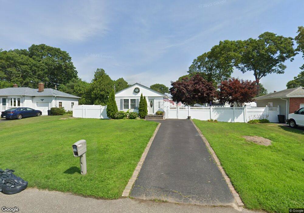
13 Ranch Dr Shirley, NY 11967
Estimated Value: $414,000 - $548,000
3
Beds
1
Bath
1,081
Sq Ft
$456/Sq Ft
Est. Value
About This Home
This home is located at 13 Ranch Dr, Shirley, NY 11967 and is currently estimated at $493,306, approximately $456 per square foot. 13 Ranch Dr is a home located in Suffolk County with nearby schools including Nathaniel Woodhull Elementary School, William Paca Middle School, and William Floyd High School.
Ownership History
Date
Name
Owned For
Owner Type
Purchase Details
Closed on
Dec 21, 2005
Sold by
King David
Bought by
Miano John
Current Estimated Value
Purchase Details
Closed on
Jan 30, 2004
Sold by
Grosberger Frank and Lockwood Sharon
Bought by
King David and King Colleen
Home Financials for this Owner
Home Financials are based on the most recent Mortgage that was taken out on this home.
Original Mortgage
$213,750
Interest Rate
5.82%
Mortgage Type
Purchase Money Mortgage
Purchase Details
Closed on
Sep 1, 2000
Sold by
Milano John and Milano Rose
Bought by
Grosberger Frank and Lockwood Sharon
Home Financials for this Owner
Home Financials are based on the most recent Mortgage that was taken out on this home.
Original Mortgage
$114,520
Interest Rate
8%
Mortgage Type
FHA
Create a Home Valuation Report for This Property
The Home Valuation Report is an in-depth analysis detailing your home's value as well as a comparison with similar homes in the area
Home Values in the Area
Average Home Value in this Area
Purchase History
| Date | Buyer | Sale Price | Title Company |
|---|---|---|---|
| Miano John | $329,990 | Carmela Crimeni | |
| King David | $225,000 | First American Title Ins Co | |
| Grosberger Frank | $116,000 | Advantage Title |
Source: Public Records
Mortgage History
| Date | Status | Borrower | Loan Amount |
|---|---|---|---|
| Previous Owner | King David | $213,750 | |
| Previous Owner | Grosberger Frank | $114,520 |
Source: Public Records
Tax History
| Year | Tax Paid | Tax Assessment Tax Assessment Total Assessment is a certain percentage of the fair market value that is determined by local assessors to be the total taxable value of land and additions on the property. | Land | Improvement |
|---|---|---|---|---|
| 2024 | $7,111 | $1,900 | $150 | $1,750 |
| 2023 | $7,111 | $1,900 | $150 | $1,750 |
| 2022 | $7,482 | $1,900 | $150 | $1,750 |
| 2021 | $7,482 | $1,900 | $150 | $1,750 |
| 2020 | $7,664 | $1,900 | $150 | $1,750 |
| 2019 | $7,664 | $0 | $0 | $0 |
| 2018 | $7,350 | $1,900 | $150 | $1,750 |
| 2017 | $7,350 | $1,900 | $150 | $1,750 |
| 2016 | $7,364 | $1,900 | $150 | $1,750 |
| 2015 | -- | $1,900 | $150 | $1,750 |
| 2014 | -- | $1,900 | $150 | $1,750 |
Source: Public Records
Map
Nearby Homes
- 33 Ranch Dr
- 21 Lama Dr
- 33 Loughlin Dr
- 43 Adobe Dr
- 4 Cotton Tail Ct
- 36 Happy Acres Dr
- 10 Amarr Dr
- 36 Musket Dr
- 0 Amarr Dr Unit KEYL3493702
- 36 Flintlock Dr
- 34 Greentree Ct
- 70 Breston Dr E
- 32 Rockledge Dr
- Vacant Lot The Green
- VL - (Sec 937 Lot 14 The Green
- 39 Appel Dr E
- 19 Windus Dr
- 34 Pinetop Dr
- 2 Pinetop Dr
- 7 Pondview Cir
Your Personal Tour Guide
Ask me questions while you tour the home.