13 Rocky Rd Gilford, NH 03249
Estimated Value: $753,016 - $878,000
4
Beds
3
Baths
2,642
Sq Ft
$311/Sq Ft
Est. Value
About This Home
This home is located at 13 Rocky Rd, Gilford, NH 03249 and is currently estimated at $822,754, approximately $311 per square foot. 13 Rocky Rd is a home located in Belknap County with nearby schools including Gilford Elementary School, Gilford Middle School, and Gilford High School.
Ownership History
Date
Name
Owned For
Owner Type
Purchase Details
Closed on
Jun 7, 2021
Sold by
Andrews Richard J and Andrews Rae M
Bought by
Eastman Serene M and Desmore Benjamin K
Current Estimated Value
Home Financials for this Owner
Home Financials are based on the most recent Mortgage that was taken out on this home.
Original Mortgage
$96,000
Outstanding Balance
$89,056
Interest Rate
4.63%
Mortgage Type
Purchase Money Mortgage
Estimated Equity
$733,698
Purchase Details
Closed on
Aug 16, 2011
Sold by
Mcgowan Josephine L
Bought by
Andrews Richard J and Mello-Andrews Rae
Create a Home Valuation Report for This Property
The Home Valuation Report is an in-depth analysis detailing your home's value as well as a comparison with similar homes in the area
Home Values in the Area
Average Home Value in this Area
Purchase History
| Date | Buyer | Sale Price | Title Company |
|---|---|---|---|
| Eastman Serene M | $120,000 | None Available | |
| Eastman Serene M | $120,000 | None Available | |
| Andrews Richard J | $84,000 | -- | |
| Andrews Richard J | $84,000 | -- |
Source: Public Records
Mortgage History
| Date | Status | Borrower | Loan Amount |
|---|---|---|---|
| Open | Eastman Serene M | $96,000 | |
| Closed | Eastman Serene M | $96,000 |
Source: Public Records
Tax History Compared to Growth
Tax History
| Year | Tax Paid | Tax Assessment Tax Assessment Total Assessment is a certain percentage of the fair market value that is determined by local assessors to be the total taxable value of land and additions on the property. | Land | Improvement |
|---|---|---|---|---|
| 2024 | $7,685 | $683,140 | $179,640 | $503,500 |
| 2023 | $6,777 | $657,940 | $179,640 | $478,300 |
| 2022 | $1,370 | $111,820 | $111,820 | $0 |
| 2021 | $1,373 | $111,820 | $111,820 | $0 |
| 2020 | $1,022 | $68,030 | $68,030 | $0 |
| 2019 | $913 | $57,570 | $57,570 | $0 |
| 2018 | $826 | $48,460 | $48,460 | $0 |
| 2017 | $836 | $48,460 | $48,460 | $0 |
| 2016 | $938 | $52,260 | $52,260 | $0 |
| 2015 | $939 | $52,260 | $52,260 | $0 |
| 2011 | $1,456 | $78,500 | $78,500 | $0 |
Source: Public Records
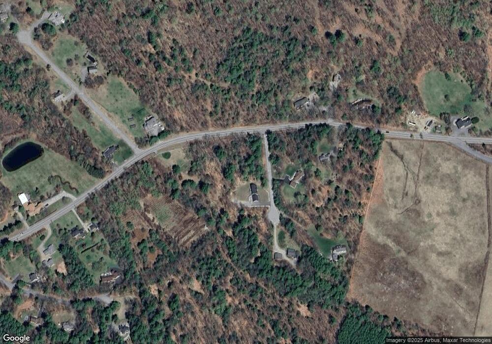
Map
Nearby Homes
- 14 Curtis Rd
- 102 Curtis Rd
- 235 Chestnut Dr
- 18 Balsam Dr
- 12 Balsam Dr
- 252 Chestnut Dr
- 134 Chestnut Dr
- 56 Foxglove Rd
- 9 Chestnut Dr
- 16 Hampshire Dr
- 31 Henderson Rd Unit 17
- 22 Silver St
- 119 Cherry Valley Rd
- 343 Old Lake Shore Rd Unit 17
- 214 Sagamore Rd
- 55 White Birch Dr
- 320 Old Lake Shore Rd Unit 3
- 26 Chalet Dr
- 12 Wildwood Rd
- 41 Glendale Place Unit 13 A & B
- 8 Rocky Rd
- 349 Cherry Valley Rd
- 22 Rocky Rd
- 350 Cherry Valley Rd
- 312 Cherry Valley Rd
- 24 Rocky Rd
- 354 Cherry Valley Rd
- 320 Cherry Valley Rd
- 300 Cherry Valley Rd
- 360 Cherry Valley Rd
- 20 Mark Island #3
- 20 Mark Island #2
- E-8 Mountain View Yacht Club
- G-14 Mountain View Yacht Club
- Slip F#24 Mountain View Yacht Club
- Slip I-8 Mountain View Yacht Club
- 15 (Lot 6) High Point Ln
- 21 (Lot 5) High Point Ln
- G 04 Misty Harbor Unit G 04
- 3 & 23 Diamond Island