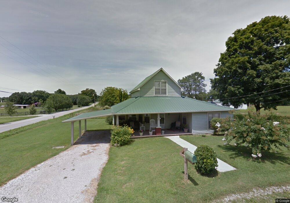
13 School St Manchester, TN 37355
Estimated Value: $136,466 - $234,000
--
Bed
1
Bath
1,474
Sq Ft
$130/Sq Ft
Est. Value
About This Home
This home is located at 13 School St, Manchester, TN 37355 and is currently estimated at $191,117, approximately $129 per square foot. 13 School St is a home located in Coffee County with nearby schools including East Coffee Elementary School, Coffee County Middle School, and Coffee County Central High School.
Ownership History
Date
Name
Owned For
Owner Type
Purchase Details
Closed on
Jun 25, 2012
Sold by
Roberts Billy Joe
Bought by
Medley Betty R
Current Estimated Value
Purchase Details
Closed on
Oct 10, 2000
Sold by
Gates Roy Leon and Gates Susan
Bought by
Swann Donald and Swann Ida
Purchase Details
Closed on
Aug 15, 2000
Sold by
Roberts Wayne
Bought by
Gates Roy Leon and Gates Susan
Purchase Details
Closed on
Jul 15, 1996
Sold by
Roberts Wayne
Bought by
Swann Donald and Swann Ida
Create a Home Valuation Report for This Property
The Home Valuation Report is an in-depth analysis detailing your home's value as well as a comparison with similar homes in the area
Home Values in the Area
Average Home Value in this Area
Purchase History
| Date | Buyer | Sale Price | Title Company |
|---|---|---|---|
| Medley Betty R | $23,450 | -- | |
| Swann Donald | $15,000 | -- | |
| Gates Roy Leon | $15,000 | -- | |
| Swann Donald | $5,000 | -- |
Source: Public Records
Tax History Compared to Growth
Tax History
| Year | Tax Paid | Tax Assessment Tax Assessment Total Assessment is a certain percentage of the fair market value that is determined by local assessors to be the total taxable value of land and additions on the property. | Land | Improvement |
|---|---|---|---|---|
| 2024 | $429 | $18,425 | $3,250 | $15,175 |
| 2023 | $429 | $18,425 | $0 | $0 |
| 2022 | $429 | $18,425 | $3,250 | $15,175 |
| 2021 | $385 | $13,125 | $2,300 | $10,825 |
| 2020 | $385 | $13,125 | $2,300 | $10,825 |
| 2019 | $385 | $13,125 | $2,300 | $10,825 |
| 2018 | $385 | $13,125 | $2,300 | $10,825 |
| 2017 | $380 | $11,650 | $2,600 | $9,050 |
| 2016 | $380 | $11,650 | $2,600 | $9,050 |
| 2015 | $380 | $11,650 | $2,600 | $9,050 |
| 2014 | $381 | $11,669 | $0 | $0 |
Source: Public Records
Map
Nearby Homes
- 2498 Sp Anderson Rd
- 667 Pete Sain Rd
- 7807 McMinnville Hwy Unit 7807
- 0 Ramsey Rd
- 0 Pete Sain Rd
- 363 Willow Brook Dr
- 300 Willow Brook Dr
- 2635 Pete Sain Rd
- 837 Circle Dr
- 781 Circle Dr
- 670 Old McMinnville Hwy
- 0 Mcafee Rd
- 0 Mcafee E Unit RTC2865293
- 1037 Mcafee Rd
- 967 Mud Creek Rd
- 105 Barbara Spears Rd
- 231 Tom Johnson Rd
- 4282 McMinnville Hwy Unit 4270
- 0 Hickerson Rd
- 89 Saddle St
- 1121 Summitville Rd
- 1053 Summitville Rd
- 1230 Summitville Rd
- 1223 Summitville Rd
- 1064 Summitville Rd
- 287 Shady Grove Rd
- 977 Summitville Rd
- 351 Shady Grove Rd
- 1018 Summitville Rd
- 205 Shady Grove Rd
- 397 Shady Grove Rd
- 210 Shady Grove Rd
- 173 Shady Grove Rd
- 61 Shady Grove Rd
- 155 Shady Grove Rd
- 95 Shady Grove Rd
- 380 Shady Grove Rd
- 1296 Summitville Rd
- 60 Shady Grove Rd
- 2 Shady Grove Rd