13 Scott Cir Spofford, NH 03462
Estimated Value: $545,000 - $660,000
4
Beds
3
Baths
3,109
Sq Ft
$194/Sq Ft
Est. Value
About This Home
This home is located at 13 Scott Cir, Spofford, NH 03462 and is currently estimated at $604,242, approximately $194 per square foot. 13 Scott Cir is a home with nearby schools including Chesterfield Central School, Mayland Early College High School, and Keene High School.
Ownership History
Date
Name
Owned For
Owner Type
Purchase Details
Closed on
Feb 2, 2024
Sold by
Patrick & Va Mcmanus T and Mcmanus
Bought by
Patrick & Va Mcmanus T and Mcmanus
Current Estimated Value
Purchase Details
Closed on
Mar 12, 2019
Sold by
Mcmanus Patrick F and Mcmanus Virginia J
Bought by
Patrick and Patrick Mcmanus V
Create a Home Valuation Report for This Property
The Home Valuation Report is an in-depth analysis detailing your home's value as well as a comparison with similar homes in the area
Home Values in the Area
Average Home Value in this Area
Purchase History
| Date | Buyer | Sale Price | Title Company |
|---|---|---|---|
| Patrick & Va Mcmanus T | -- | None Available | |
| Patrick | -- | -- |
Source: Public Records
Tax History Compared to Growth
Tax History
| Year | Tax Paid | Tax Assessment Tax Assessment Total Assessment is a certain percentage of the fair market value that is determined by local assessors to be the total taxable value of land and additions on the property. | Land | Improvement |
|---|---|---|---|---|
| 2024 | $7,718 | $381,300 | $94,200 | $287,100 |
| 2023 | $6,953 | $350,800 | $94,200 | $256,600 |
| 2022 | $6,813 | $350,800 | $94,200 | $256,600 |
| 2021 | $6,669 | $350,800 | $94,200 | $256,600 |
| 2020 | $6,236 | $275,800 | $64,300 | $211,500 |
| 2019 | $6,453 | $289,100 | $64,300 | $224,800 |
| 2018 | $5,828 | $289,100 | $64,300 | $224,800 |
| 2016 | $6,155 | $289,500 | $64,300 | $225,200 |
| 2014 | $6,430 | $289,500 | $64,300 | $225,200 |
Source: Public Records
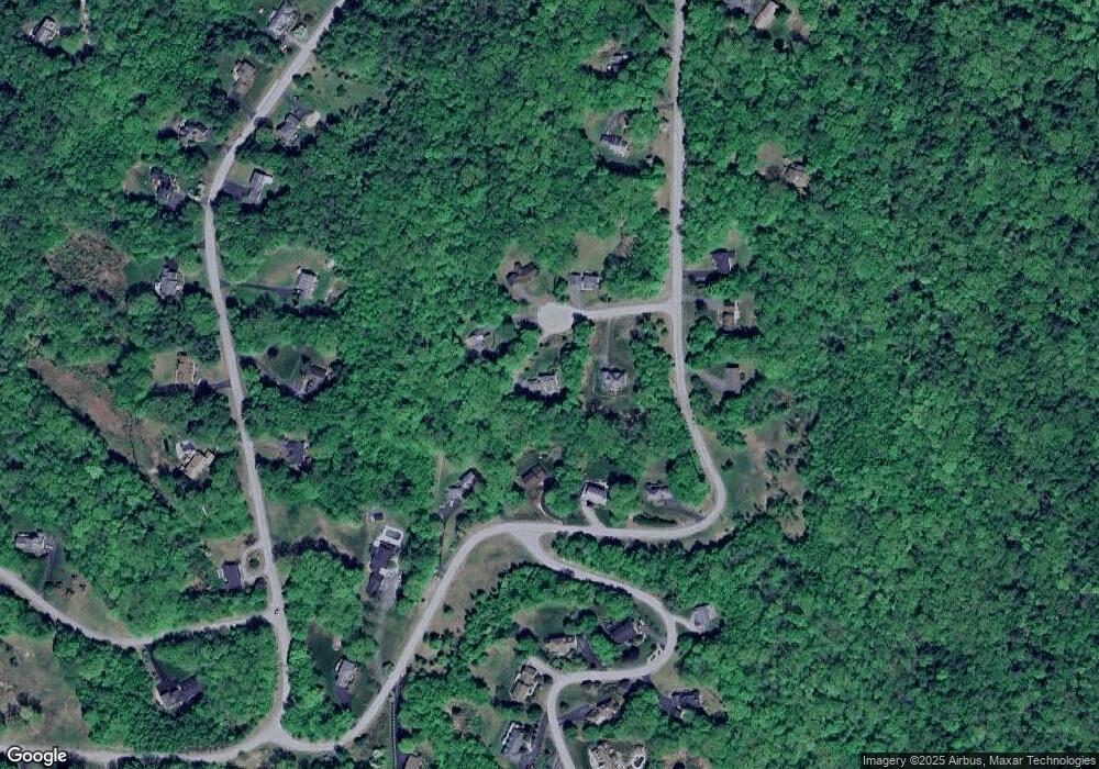
Map
Nearby Homes
- 43 Westmoreland Rd
- 48 Church St
- 563 N Shore Rd
- 484 Old Swanzey Rd
- 15 Stearns Rd
- 28 Owens Dr Unit 92
- 110 Arch St Unit 27
- 38 Stonehouse Ln Unit A
- 626 W Swanzey Rd
- 28 Stonehouse Ln
- 25 Schult St
- 19 Aylward Ave
- 1 Cherry Tree Ln
- 85 Foley Rd
- 38 Greenbriar Rd
- 18 Stanton Ct
- 534 Cobble Hill Rd
- 8 Tanner Rd
- 257 Park Ave
- 45 Blossom St
- 7 Scott Cir
- 16 Scott Cir
- 118 Forestview Dr
- 12 Scott Cir
- 10 Scott Cir
- 116 Forestview Dr
- 142 Forestview Dr
- 100 Forestview Dr
- 87 Forestview Dr
- 81 Forestview Dr
- 79 Forestview Dr
- 91 Valley Park Dr
- 146 Forestview Dr
- 89 Valley Park Dr
- 60 Forestview Dr
- 32 Philip Dr
- 99 Valley Park Dr
- 22 Philip Dr
- 21 Philip Dr
- 34 Philip Dr