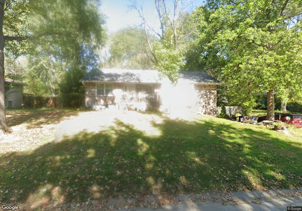
13 SE 150 Rd Warrensburg, MO 64093
Estimated Value: $244,000 - $303,000
4
Beds
3
Baths
1,876
Sq Ft
$143/Sq Ft
Est. Value
About This Home
This home is located at 13 SE 150 Rd, Warrensburg, MO 64093 and is currently estimated at $268,706, approximately $143 per square foot. 13 SE 150 Rd is a home located in Johnson County with nearby schools including Maple Grove Elementary School, Martin Warren Elementary School, and Warrensburg Middle School.
Ownership History
Date
Name
Owned For
Owner Type
Purchase Details
Closed on
Jul 29, 2024
Sold by
Han Ryan G and Hatt Ryan G
Bought by
Gilliland Billie M
Current Estimated Value
Purchase Details
Closed on
Jun 22, 2016
Sold by
Bush Adam G and Bush Daniele M
Bought by
Hiatt Ryan G and Gilliland Billie M
Home Financials for this Owner
Home Financials are based on the most recent Mortgage that was taken out on this home.
Original Mortgage
$141,902
Interest Rate
3.64%
Mortgage Type
New Conventional
Purchase Details
Closed on
Sep 10, 2009
Sold by
Wood Keneth E and Wood Lucinda W
Bought by
Bush Adam G and Bush Daniele M
Home Financials for this Owner
Home Financials are based on the most recent Mortgage that was taken out on this home.
Original Mortgage
$137,391
Interest Rate
5.26%
Mortgage Type
VA
Create a Home Valuation Report for This Property
The Home Valuation Report is an in-depth analysis detailing your home's value as well as a comparison with similar homes in the area
Home Values in the Area
Average Home Value in this Area
Purchase History
| Date | Buyer | Sale Price | Title Company |
|---|---|---|---|
| Gilliland Billie M | $13,000 | None Listed On Document | |
| Hiatt Ryan G | -- | Western Missouri Title Co | |
| Bush Adam G | -- | -- |
Source: Public Records
Mortgage History
| Date | Status | Borrower | Loan Amount |
|---|---|---|---|
| Previous Owner | Hiatt Ryan G | $141,902 | |
| Previous Owner | Bush Adam G | $137,391 |
Source: Public Records
Tax History Compared to Growth
Tax History
| Year | Tax Paid | Tax Assessment Tax Assessment Total Assessment is a certain percentage of the fair market value that is determined by local assessors to be the total taxable value of land and additions on the property. | Land | Improvement |
|---|---|---|---|---|
| 2024 | $1,556 | $21,361 | $0 | $0 |
| 2023 | $1,556 | $21,361 | $0 | $0 |
| 2022 | $1,503 | $20,536 | $0 | $0 |
| 2021 | $1,497 | $20,536 | $0 | $0 |
| 2020 | $1,455 | $19,708 | $0 | $0 |
| 2019 | $1,453 | $19,708 | $0 | $0 |
| 2017 | $1,396 | $19,708 | $0 | $0 |
| 2016 | $1,392 | $19,708 | $0 | $0 |
| 2015 | $1,433 | $19,708 | $0 | $0 |
| 2014 | $1,244 | $19,708 | $0 | $0 |
Source: Public Records
Map
Nearby Homes
- 19 SE 150th Rd
- 8 SW 160th Rd
- 9 SE 190 Rd
- Lot 9 SW 11th Rd
- 10 SE 190 Rd
- 153 SE 125 Rd
- 317 E Hale Lake Rd
- 40 SW Bb Hwy Unit 1
- 1106 S Mitchell St
- 706 Cedar Dr Unit B
- 507 Larkin Ct
- 30 SW 160th Rd
- 111 Fairview Ave
- 503 Quail Trail
- 428 Swallow N A
- 101 Fairview Ave
- 991 S Mitchell St
- 129 SE 235th Rd
- 5 SE 240th Rd
- 813 S Maguire St