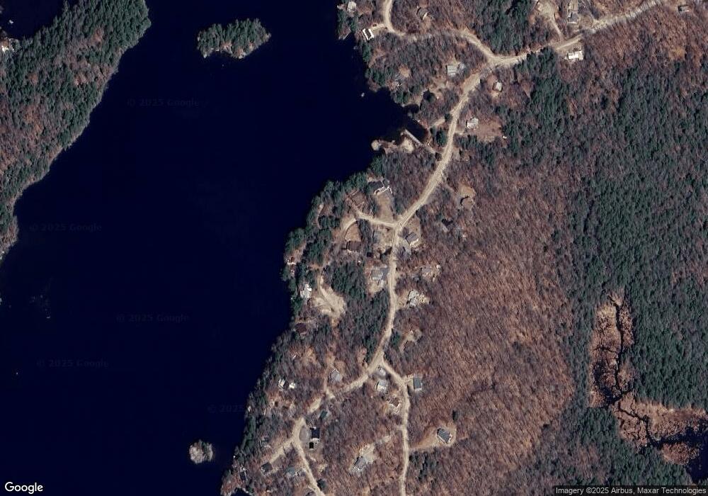
13 Splake Dr Lempster, NH 03605
Estimated Value: $308,000 - $832,000
3
Beds
3
Baths
2,373
Sq Ft
$200/Sq Ft
Est. Value
About This Home
This home is located at 13 Splake Dr, Lempster, NH 03605 and is currently estimated at $475,028, approximately $200 per square foot. 13 Splake Dr is a home.
Create a Home Valuation Report for This Property
The Home Valuation Report is an in-depth analysis detailing your home's value as well as a comparison with similar homes in the area
Tax History
| Year | Tax Paid | Tax Assessment Tax Assessment Total Assessment is a certain percentage of the fair market value that is determined by local assessors to be the total taxable value of land and additions on the property. | Land | Improvement |
|---|---|---|---|---|
| 2024 | $6,000 | $207,900 | $49,600 | $158,300 |
| 2023 | $5,213 | $192,300 | $49,600 | $142,700 |
| 2022 | $4,378 | $185,100 | $49,600 | $135,500 |
| 2021 | $4,398 | $185,100 | $49,600 | $135,500 |
| 2020 | $4,441 | $178,800 | $49,600 | $129,200 |
| 2019 | $3,924 | $143,700 | $41,700 | $102,000 |
| 2018 | $3,764 | $128,700 | $41,700 | $87,000 |
| 2017 | $3,252 | $128,700 | $41,700 | $87,000 |
| 2016 | $3,174 | $128,700 | $41,700 | $87,000 |
| 2015 | $2,995 | $128,700 | $41,700 | $87,000 |
| 2014 | $2,693 | $134,800 | $42,300 | $92,500 |
| 2013 | $2,749 | $134,800 | $42,300 | $92,500 |
Source: Public Records
Map
Nearby Homes
- 99 South Rd
- 264 Olds Rd
- 790 Millen Pond Rd
- 0 Earl Ln Unit 24
- 67 Lang Rd
- 0 Adams Dr
- 0 N Main St Unit 29
- 138 Stone Pond Rd
- 14 Hammann Dr
- 2167 Valley Rd
- 172 Nh-Rte 123 Route
- Lot 77-7 E Washington Rd
- 57 Long Pond Rd
- 1046 Kings Hwy
- 664 Tigola Trail
- 144 Keyes Hollow Rd
- Lot 11-5 Ball Park Rd
- Lot 11-2 Ball Park Rd
- 315 Gove Rd
- 00 Scenic Dr Unit 22
Your Personal Tour Guide
Ask me questions while you tour the home.