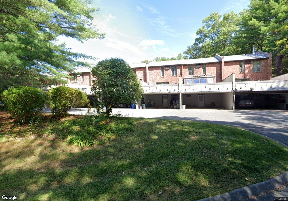
13 Sutton Ct Amherst, MA 01002
Estimated Value: $302,000 - $347,525
3
Beds
2
Baths
1,430
Sq Ft
$232/Sq Ft
Est. Value
About This Home
This home is located at 13 Sutton Ct, Amherst, MA 01002 and is currently estimated at $331,131, approximately $231 per square foot. 13 Sutton Ct is a home located in Hampshire County with nearby schools including Fort River Elementary School, Amherst Regional Middle School, and Amherst Regional High School.
Ownership History
Date
Name
Owned For
Owner Type
Purchase Details
Closed on
May 23, 2022
Sold by
Stevens Shirley E
Bought by
Nelson Bruce A and Nelson Brian K
Current Estimated Value
Purchase Details
Closed on
May 1, 1985
Bought by
Stevens Allison P and Stevens Shirley E
Create a Home Valuation Report for This Property
The Home Valuation Report is an in-depth analysis detailing your home's value as well as a comparison with similar homes in the area
Home Values in the Area
Average Home Value in this Area
Purchase History
| Date | Buyer | Sale Price | Title Company |
|---|---|---|---|
| Nelson Bruce A | -- | None Available | |
| Stevens Allison P | $76,000 | -- |
Source: Public Records
Mortgage History
| Date | Status | Borrower | Loan Amount |
|---|---|---|---|
| Previous Owner | Stevens Allison P | $20,000 | |
| Previous Owner | Stevens Allison P | $40,000 |
Source: Public Records
Tax History
| Year | Tax Paid | Tax Assessment Tax Assessment Total Assessment is a certain percentage of the fair market value that is determined by local assessors to be the total taxable value of land and additions on the property. | Land | Improvement |
|---|---|---|---|---|
| 2025 | $59 | $327,400 | $0 | $327,400 |
| 2024 | $5,710 | $308,500 | $0 | $308,500 |
| 2023 | $5,228 | $260,100 | $0 | $260,100 |
| 2022 | $5,107 | $240,100 | $0 | $240,100 |
| 2021 | $4,868 | $223,100 | $0 | $223,100 |
| 2020 | $4,756 | $223,100 | $0 | $223,100 |
| 2019 | $4,539 | $208,200 | $0 | $208,200 |
| 2018 | $4,401 | $208,200 | $0 | $208,200 |
| 2017 | $4,434 | $203,100 | $0 | $203,100 |
| 2016 | $4,310 | $203,100 | $0 | $203,100 |
| 2015 | $4,172 | $203,100 | $0 | $203,100 |
Source: Public Records
Map
Nearby Homes
- 310 Belchertown Rd
- 0 Heatherstone Rd
- 53 Pine Grove Unit 53
- 67 Pine Grove Unit 67
- 61 S Valley Rd
- 0 Amherst Rd
- 9 Harkness Rd
- 130 Linden Ridge Rd
- 100 Larkspur Dr
- 23 Alyssum Dr
- 270 N East St
- 48 Gray St
- 0 Red Gate Ln Unit 73348273
- 60 Red Gate Ln
- 0 Main St
- 15 Gulf Rd
- 170 E Hadley Rd Unit 87
- 75 Amity Place Unit 75
- 63 Amity Place Unit 63
- 24 Greenleaves Dr Unit 418
- 7 Sutton Ct
- 7 Sutton Ct Unit 7
- 11 Sutton Ct
- 10 Sutton Ct
- 9 Sutton Ct
- 10 Sutton Ct Unit 10
- 8 Sutton Ct
- 6 Sutton Ct
- 5 Sutton Ct
- 4 Sutton Ct
- 3 Sutton Ct
- 2 Sutton Ct
- 1 Sutton Ct
- 6 Sutton Ct
- 6 Sutton Ct Unit 6 Sutton Ct Condo
- 3 Sutton Ct
- 1 Sutton Ct
- 8 Sutton Ct Unit 1
- 3 Sutton Ct Unit 3 SUTTON
- 2 Sutton Ct Unit 129
Your Personal Tour Guide
Ask me questions while you tour the home.