13 Tamarack Trail Bedford, NH 03110
Bedford NeighborhoodEstimated Value: $885,000 - $1,039,000
4
Beds
3
Baths
3,204
Sq Ft
$307/Sq Ft
Est. Value
About This Home
This home is located at 13 Tamarack Trail, Bedford, NH 03110 and is currently estimated at $984,499, approximately $307 per square foot. 13 Tamarack Trail is a home located in Hillsborough County with nearby schools including Mckelvie Intermediate School, Ross A. Lurgio Middle School, and Bedford High School.
Ownership History
Date
Name
Owned For
Owner Type
Purchase Details
Closed on
Sep 4, 2009
Sold by
Johnson Stephen J and Johnson Carrie I
Bought by
Lapinsky Andrew and Lapinsky Lisa
Current Estimated Value
Purchase Details
Closed on
Oct 12, 2005
Sold by
Pulte Homes New Englan
Bought by
Johnson Stephen J and Johnson Carrie I
Create a Home Valuation Report for This Property
The Home Valuation Report is an in-depth analysis detailing your home's value as well as a comparison with similar homes in the area
Home Values in the Area
Average Home Value in this Area
Purchase History
| Date | Buyer | Sale Price | Title Company |
|---|---|---|---|
| Lapinsky Andrew | $372,000 | -- | |
| Johnson Stephen J | $508,700 | -- | |
| Lapinsky Andrew | $372,000 | -- | |
| Johnson Stephen J | $508,700 | -- |
Source: Public Records
Mortgage History
| Date | Status | Borrower | Loan Amount |
|---|---|---|---|
| Previous Owner | Johnson Stephen J | $50,000 | |
| Previous Owner | Johnson Stephen J | $402,500 | |
| Previous Owner | Johnson Stephen J | $115,000 |
Source: Public Records
Tax History Compared to Growth
Tax History
| Year | Tax Paid | Tax Assessment Tax Assessment Total Assessment is a certain percentage of the fair market value that is determined by local assessors to be the total taxable value of land and additions on the property. | Land | Improvement |
|---|---|---|---|---|
| 2024 | $13,592 | $859,700 | $303,000 | $556,700 |
| 2023 | $12,724 | $859,700 | $303,000 | $556,700 |
| 2022 | $11,737 | $666,900 | $224,600 | $442,300 |
| 2021 | $11,431 | $666,900 | $224,600 | $442,300 |
| 2020 | $11,341 | $566,500 | $172,700 | $393,800 |
| 2019 | $10,735 | $566,500 | $172,700 | $393,800 |
| 2018 | $10,869 | $532,800 | $172,700 | $360,100 |
| 2017 | $10,075 | $532,800 | $172,700 | $360,100 |
| 2016 | $10,451 | $467,200 | $132,600 | $334,600 |
| 2015 | $10,633 | $467,200 | $132,600 | $334,600 |
| 2014 | $10,512 | $467,200 | $132,600 | $334,600 |
| 2013 | $10,345 | $466,600 | $132,600 | $334,000 |
Source: Public Records
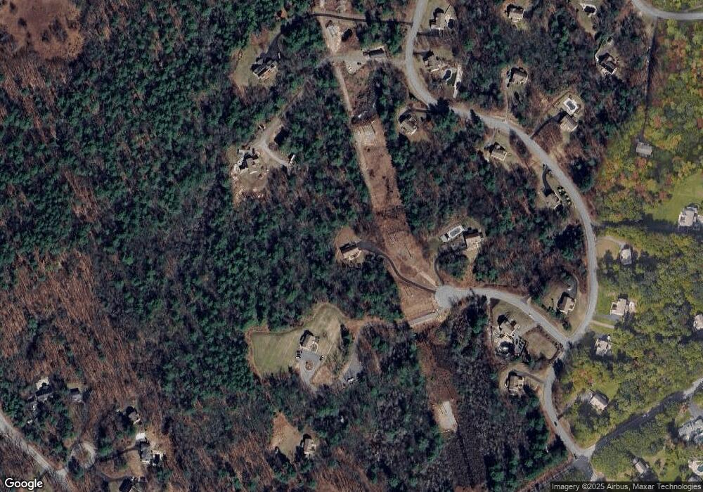
Map
Nearby Homes
- 53 Essex Rd
- Lot 6 Aisling Ln Unit Lot 6 - The Silverto
- 27 Birkdale Rd Unit LOTS 170/171
- 9 Cherry Ln
- 40 Tirrell Hill Rd
- 28 Olde Lantern Rd
- 99 Cambridge Rd
- 60 Riddle Dr
- 44-9 Olympus Way
- 14 Angel Point Cir Unit B
- 3 Danforth Dr
- 18 Grand Ave Unit Lot 7
- 15 Grand Ave Unit Lot 3
- 17 Grand Ave
- 175 Saint Anselm Dr
- 74 Settlers Ct
- 32 Wellesley Dr
- 39 Mcintosh Ln
- 12 Mcintosh Ln
- 1 Oakwood Ln Unit 2
- 12 Tamarack Trail
- 38 Barr Farm Rd
- 11 Tamarack Trail
- 40 Barr Farm Rd
- 32 Barr Farm Rd
- 4 Tamarack Trail
- 41 Barr Farms Rd
- 6 Barr Farm Rd
- 22 Barr Farm Rd
- 41 Barr Farm Rd
- 44 Barr Farm Rd
- 5 Tamarack Trail
- 31 Barr Farm Rd
- 43 Barr Farm Rd
- 29 Barr Farm Rd Unit 2-23-56
- 29 Barr Farm Rd
- 195 New Boston Rd
- 43 Farmhouse Rd Unit BARR
- 15 Barr Farm Rd
- 19 Barr Farm Rd