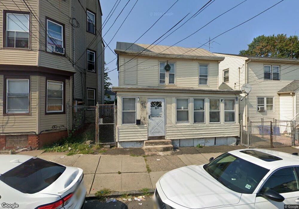
13 Thomas St Unit 17 Paterson, NJ 07503
South Paterson NeighborhoodEstimated Value: $521,000 - $663,000
--
Bed
--
Bath
1,904
Sq Ft
$322/Sq Ft
Est. Value
About This Home
This home is located at 13 Thomas St Unit 17, Paterson, NJ 07503 and is currently estimated at $612,634, approximately $321 per square foot. 13 Thomas St Unit 17 is a home located in Passaic County with nearby schools including Dale Avenue Elementary School, Edward W. Kilpatrick School of Discovery, and Paterson Public School No. 3.
Ownership History
Date
Name
Owned For
Owner Type
Purchase Details
Closed on
Jan 21, 1999
Sold by
Arce Agustin and Arce Maria
Bought by
Lopez Miguel Angel and Lopez Genoveva
Current Estimated Value
Home Financials for this Owner
Home Financials are based on the most recent Mortgage that was taken out on this home.
Original Mortgage
$121,750
Interest Rate
7.78%
Mortgage Type
Purchase Money Mortgage
Create a Home Valuation Report for This Property
The Home Valuation Report is an in-depth analysis detailing your home's value as well as a comparison with similar homes in the area
Home Values in the Area
Average Home Value in this Area
Purchase History
| Date | Buyer | Sale Price | Title Company |
|---|---|---|---|
| Lopez Miguel Angel | $81,500 | -- |
Source: Public Records
Mortgage History
| Date | Status | Borrower | Loan Amount |
|---|---|---|---|
| Previous Owner | Lopez Miguel Angel | $121,750 |
Source: Public Records
Tax History Compared to Growth
Tax History
| Year | Tax Paid | Tax Assessment Tax Assessment Total Assessment is a certain percentage of the fair market value that is determined by local assessors to be the total taxable value of land and additions on the property. | Land | Improvement |
|---|---|---|---|---|
| 2025 | $16,100 | $316,000 | $60,500 | $255,500 |
| 2024 | $15,493 | $316,000 | $60,500 | $255,500 |
| 2022 | $14,669 | $316,000 | $60,500 | $255,500 |
| 2021 | $14,144 | $316,000 | $60,500 | $255,500 |
| 2020 | $13,193 | $316,000 | $60,500 | $255,500 |
| 2019 | $12,778 | $309,100 | $59,500 | $249,600 |
| 2018 | $13,181 | $304,700 | $59,100 | $245,600 |
| 2017 | $12,584 | $302,500 | $58,900 | $243,600 |
| 2016 | $13,863 | $319,500 | $62,000 | $257,500 |
| 2015 | $13,125 | $319,500 | $62,000 | $257,500 |
| 2014 | $12,229 | $421,700 | $195,900 | $225,800 |
Source: Public Records
Map
Nearby Homes
- 7 Montclair Ave
- 126 Gould Ave
- 92 Bloomfield Ave
- 93 Bloomfield Ave
- 339 Paxton St
- 1252 Madison Ave Unit 1254
- 45 Dey St
- 65 Levine St
- 41 Columbia Ave
- 439 Marshall St
- 229-235 Marshall St
- 218 W 2nd St
- 90 Chadwick St
- 41 Fenner Ave Unit 2
- 156 Kentucky Ave Unit 158
- 30 Mary St
- 93 Gourley Ave
- 102 22nd Ave Unit 104
- 1048 E 22nd St
- 179 W 3rd St
- 933 Main St
- 14-16 Thomas St
- 14 Thomas St Unit 16
- 19-21 Thomas St
- 19 Thomas St Unit 21
- 12 Thomas St
- 23 Thomas St Unit 25
- 16 Thomas St Unit 18
- 14 Robert St
- 20 Thomas St Unit 22
- 10 Thomas St
- 12 Robert St
- 10 Robert St
- 939 Main St Unit 4
- 939 Main St Unit 3
- 939 Main St
- 925 Main St
- 20 Robert St
- 941 Main St Unit 2D
- 941 Main St