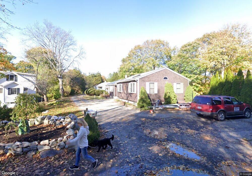
13 Thurston Point Rd Gloucester, MA 01930
Riverview NeighborhoodEstimated Value: $839,603 - $1,048,000
3
Beds
3
Baths
1,658
Sq Ft
$562/Sq Ft
Est. Value
About This Home
This home is located at 13 Thurston Point Rd, Gloucester, MA 01930 and is currently estimated at $931,901, approximately $562 per square foot. 13 Thurston Point Rd is a home located in Essex County with nearby schools including Beeman Memorial, Ralph B O'maley Middle School, and Gloucester High School.
Ownership History
Date
Name
Owned For
Owner Type
Purchase Details
Closed on
Aug 8, 2012
Sold by
Lasley Michael
Bought by
Lasley Michael A and Lasley Linda
Current Estimated Value
Purchase Details
Closed on
Oct 28, 2003
Sold by
Lasley Barbara and Haselgard Hazel J
Bought by
Lasley Michael
Create a Home Valuation Report for This Property
The Home Valuation Report is an in-depth analysis detailing your home's value as well as a comparison with similar homes in the area
Home Values in the Area
Average Home Value in this Area
Purchase History
| Date | Buyer | Sale Price | Title Company |
|---|---|---|---|
| Lasley Michael A | -- | -- | |
| Lasley Michael | $110,000 | -- |
Source: Public Records
Mortgage History
| Date | Status | Borrower | Loan Amount |
|---|---|---|---|
| Previous Owner | Lasley Michael | $162,000 | |
| Previous Owner | Lasley Michael | $140,000 | |
| Previous Owner | Lasley Michael | $110,000 |
Source: Public Records
Tax History
| Year | Tax Paid | Tax Assessment Tax Assessment Total Assessment is a certain percentage of the fair market value that is determined by local assessors to be the total taxable value of land and additions on the property. | Land | Improvement |
|---|---|---|---|---|
| 2025 | $6,707 | $690,000 | $233,000 | $457,000 |
| 2024 | $6,538 | $671,900 | $221,900 | $450,000 |
| 2023 | $6,585 | $621,800 | $198,100 | $423,700 |
| 2022 | $6,183 | $527,100 | $168,400 | $358,700 |
| 2021 | $6,236 | $501,300 | $153,100 | $348,200 |
| 2020 | $5,894 | $478,000 | $153,100 | $324,900 |
| 2019 | $5,892 | $464,300 | $153,100 | $311,200 |
| 2018 | $5,859 | $453,100 | $153,100 | $300,000 |
| 2017 | $5,711 | $433,000 | $145,900 | $287,100 |
| 2016 | $5,409 | $397,400 | $146,400 | $251,000 |
| 2015 | $5,324 | $390,000 | $146,400 | $243,600 |
Source: Public Records
Map
Nearby Homes
- 13 Honeysuckle Rd
- 3 Deacon Farm Ln
- 2 Breezy Point Rd
- 31 Echo Ave
- 167 Atlantic St
- 178 Atlantic St
- 672 Washington St
- 13 Mystic Ave
- 226 Atlantic St
- 8 Mystic Ave
- 6 Monroe Ct
- 98 Maplewood Ave
- 9 Cleveland Place
- 12 Arthur St
- 145 Essex Ave Unit 402
- 5 Samoset Rd Unit B
- 15 Harvard St
- 40 Sargent St
- 24 Cobblestone Ln Unit 603
- 5 Lepage Ln
- 13R Thurston Point Rd
- 25 Thurston Point Rd
- 19 Thurston Point Rd
- 21 Thurston Point Rd
- 11 Thurston Point Rd
- 23 Thurston Point Rd
- 20 Thurston Point Rd
- 23 Thurston Point Rd
- 9 Thurston Point Rd
- 22 Thurston Point Rd
- 10 Mako Dr
- 16 Thurston Point Rd
- 27 Thurston Point Rd
- 7 Thurston Point Rd
- 28 Thurston Point Rd
- 26 Thurston Point Rd
- 31 Thurston Point Rd
- 12 Honeysuckle Rd
- 8 Thurston Point Rd
- 24 Thurston Point Rd
Your Personal Tour Guide
Ask me questions while you tour the home.