13 W Shore Dr Southampton, NJ 08088
Estimated Value: $306,000 - $382,000
--
Bed
--
Bath
1,496
Sq Ft
$227/Sq Ft
Est. Value
About This Home
This home is located at 13 W Shore Dr, Southampton, NJ 08088 and is currently estimated at $340,240, approximately $227 per square foot. 13 W Shore Dr is a home located in Burlington County with nearby schools including Southampton Twp School No 1, Southampton Twp School No 2, and Southampton Twp School No 3.
Ownership History
Date
Name
Owned For
Owner Type
Purchase Details
Closed on
May 15, 2012
Sold by
Persa Susan
Bought by
Adams Reanna and Lee Brian
Current Estimated Value
Home Financials for this Owner
Home Financials are based on the most recent Mortgage that was taken out on this home.
Original Mortgage
$120,856
Outstanding Balance
$85,096
Interest Rate
4.25%
Mortgage Type
FHA
Estimated Equity
$255,144
Purchase Details
Closed on
Dec 31, 2003
Sold by
Deutsche Bank National Trust Co
Bought by
Persa Susan
Home Financials for this Owner
Home Financials are based on the most recent Mortgage that was taken out on this home.
Original Mortgage
$16,000
Interest Rate
5.82%
Mortgage Type
Credit Line Revolving
Purchase Details
Closed on
Jan 28, 2000
Sold by
Mark Barry A and Mark Ellen A
Bought by
Va
Create a Home Valuation Report for This Property
The Home Valuation Report is an in-depth analysis detailing your home's value as well as a comparison with similar homes in the area
Home Values in the Area
Average Home Value in this Area
Purchase History
| Date | Buyer | Sale Price | Title Company |
|---|---|---|---|
| Adams Reanna | $124,000 | None Available | |
| Persa Susan | $87,318 | Infinity Title Agency Inc | |
| Va | -- | -- |
Source: Public Records
Mortgage History
| Date | Status | Borrower | Loan Amount |
|---|---|---|---|
| Open | Adams Reanna | $120,856 | |
| Previous Owner | Persa Susan | $16,000 | |
| Previous Owner | Persa Susan | $128,000 |
Source: Public Records
Tax History Compared to Growth
Tax History
| Year | Tax Paid | Tax Assessment Tax Assessment Total Assessment is a certain percentage of the fair market value that is determined by local assessors to be the total taxable value of land and additions on the property. | Land | Improvement |
|---|---|---|---|---|
| 2025 | $5,836 | $176,900 | $56,500 | $120,400 |
| 2024 | $5,620 | $176,900 | $56,500 | $120,400 |
| 2023 | $5,620 | $176,900 | $56,500 | $120,400 |
| 2022 | $5,422 | $176,900 | $56,500 | $120,400 |
| 2021 | $5,303 | $176,900 | $56,500 | $120,400 |
| 2020 | $5,187 | $176,900 | $56,500 | $120,400 |
| 2019 | $5,075 | $176,900 | $56,500 | $120,400 |
| 2018 | $4,957 | $176,900 | $56,500 | $120,400 |
| 2017 | $4,974 | $176,900 | $56,500 | $120,400 |
| 2016 | $4,868 | $176,900 | $56,500 | $120,400 |
| 2015 | $4,714 | $176,900 | $56,500 | $120,400 |
| 2014 | $4,548 | $176,900 | $56,500 | $120,400 |
Source: Public Records
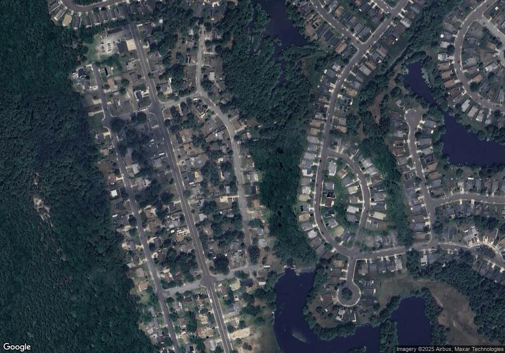
Map
Nearby Homes
- 23 W Shore Dr
- 14 Andover Ct
- 115 Dorchester Dr
- 63 Marlborough Dr
- 53 Finchley Ct
- 55 Marlborough Dr
- 9 Dutchess Ct
- 12 Yorkshire Way
- 5 Dutchess Ct
- 68 Finchley Ct
- 4 Narberth Place
- 14 Narberth Place
- 55 Sheffield Place
- 14 Burtons Dr
- 66 Westminster Dr S
- 33 Narberth Place
- 58 Westminster Dr S
- 38 Narberth Place
- 47 Chatham Place
- 10 Dunstable Rd