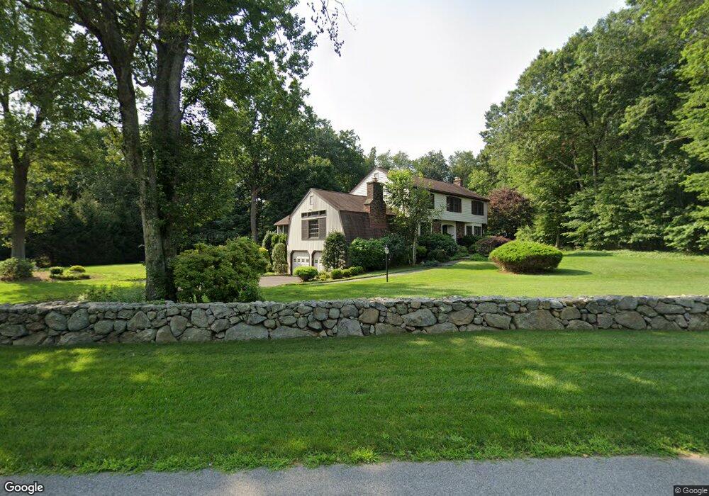
13 Weeburn Ln Wilton, CT 06897
Estimated Value: $1,203,000 - $1,255,000
4
Beds
3
Baths
2,824
Sq Ft
$436/Sq Ft
Est. Value
About This Home
This home is located at 13 Weeburn Ln, Wilton, CT 06897 and is currently estimated at $1,231,589, approximately $436 per square foot. 13 Weeburn Ln is a home located in Fairfield County with nearby schools including Miller-Driscoll School, Cider Mill School, and Middlebrook School.
Ownership History
Date
Name
Owned For
Owner Type
Purchase Details
Closed on
May 1, 2006
Sold by
Phelan William J
Bought by
Cronin Michael J and Cronin Jeanne B
Current Estimated Value
Home Financials for this Owner
Home Financials are based on the most recent Mortgage that was taken out on this home.
Original Mortgage
$554,950
Interest Rate
6.4%
Create a Home Valuation Report for This Property
The Home Valuation Report is an in-depth analysis detailing your home's value as well as a comparison with similar homes in the area
Home Values in the Area
Average Home Value in this Area
Purchase History
| Date | Buyer | Sale Price | Title Company |
|---|---|---|---|
| Cronin Michael J | $844,950 | -- |
Source: Public Records
Mortgage History
| Date | Status | Borrower | Loan Amount |
|---|---|---|---|
| Open | Cronin Michael J | $525,600 | |
| Closed | Cronin Michael J | $550,000 | |
| Closed | Cronin Michael J | $554,950 | |
| Previous Owner | Cronin Michael J | $60,500 |
Source: Public Records
Tax History Compared to Growth
Tax History
| Year | Tax Paid | Tax Assessment Tax Assessment Total Assessment is a certain percentage of the fair market value that is determined by local assessors to be the total taxable value of land and additions on the property. | Land | Improvement |
|---|---|---|---|---|
| 2025 | $15,529 | $636,160 | $292,110 | $344,050 |
| 2024 | $15,230 | $636,160 | $292,110 | $344,050 |
| 2023 | $14,147 | $483,490 | $279,300 | $204,190 |
| 2022 | $13,649 | $483,490 | $279,300 | $204,190 |
| 2021 | $13,475 | $483,490 | $279,300 | $204,190 |
| 2020 | $13,277 | $483,490 | $279,300 | $204,190 |
| 2019 | $13,799 | $483,490 | $279,300 | $204,190 |
| 2018 | $13,527 | $479,850 | $293,930 | $185,920 |
| 2017 | $13,325 | $479,850 | $293,930 | $185,920 |
| 2016 | $13,119 | $479,850 | $293,930 | $185,920 |
| 2015 | $12,874 | $479,850 | $293,930 | $185,920 |
| 2014 | $12,721 | $479,850 | $293,930 | $185,920 |
Source: Public Records
Map
Nearby Homes
- 131 Fieldcrest Dr
- 23 Silver Hill Rd
- 87 Silver Hill Rd
- 258 Silver Spring Rd
- 160 Wilton Rd W
- 164 Wilton Rd W
- 75 Saint Johns Rd
- Lot 6 Cattle Pen Ln
- 55 Tanners Dr
- 134 Nod Rd
- 10 Silvermine Dr
- 136 Elmwood Rd
- 94 Soundview Rd
- 112 Soundview Rd
- 274 Nod Rd
- 12 Stonewall Ct
- 27 Country Club Rd
- 35 Branch Brook Rd
- 84 Olmstead Ln
- 212 Elmwood Rd