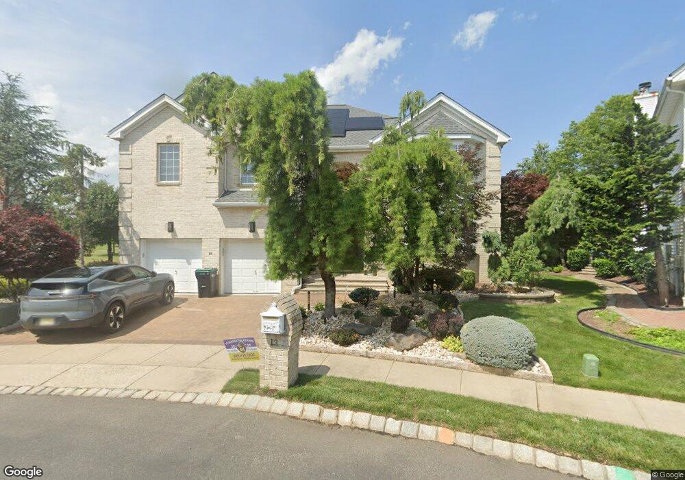
13 Wing Foot Ct Monroe Township, NJ 08831
Estimated Value: $1,021,000 - $1,066,000
4
Beds
3
Baths
3,269
Sq Ft
$319/Sq Ft
Est. Value
About This Home
This home is located at 13 Wing Foot Ct, Monroe Township, NJ 08831 and is currently estimated at $1,044,056, approximately $319 per square foot. 13 Wing Foot Ct is a home located in Middlesex County with nearby schools including Barclay Brook Elementary School, Brookside Elementary School, and Monroe Township Middle School.
Ownership History
Date
Name
Owned For
Owner Type
Purchase Details
Closed on
Mar 22, 2019
Sold by
Trost Lonn A and Trost Carol D
Bought by
Harsha Sridhar and Laksmana Rao Seema
Current Estimated Value
Home Financials for this Owner
Home Financials are based on the most recent Mortgage that was taken out on this home.
Original Mortgage
$652,000
Outstanding Balance
$572,051
Interest Rate
4.3%
Mortgage Type
New Conventional
Estimated Equity
$472,005
Purchase Details
Closed on
Jul 27, 2001
Sold by
Fairways At Forsgate
Bought by
Trost Lonn and Trost Carol
Home Financials for this Owner
Home Financials are based on the most recent Mortgage that was taken out on this home.
Original Mortgage
$350,000
Interest Rate
7.21%
Create a Home Valuation Report for This Property
The Home Valuation Report is an in-depth analysis detailing your home's value as well as a comparison with similar homes in the area
Home Values in the Area
Average Home Value in this Area
Purchase History
| Date | Buyer | Sale Price | Title Company |
|---|---|---|---|
| Harsha Sridhar | $725,000 | None Available | |
| Trost Lonn | $503,697 | -- | |
| -- | $503,700 | -- |
Source: Public Records
Mortgage History
| Date | Status | Borrower | Loan Amount |
|---|---|---|---|
| Open | Harsha Sridhar | $652,000 | |
| Previous Owner | -- | $350,000 |
Source: Public Records
Tax History Compared to Growth
Tax History
| Year | Tax Paid | Tax Assessment Tax Assessment Total Assessment is a certain percentage of the fair market value that is determined by local assessors to be the total taxable value of land and additions on the property. | Land | Improvement |
|---|---|---|---|---|
| 2025 | $15,915 | $550,300 | $160,000 | $390,300 |
| 2024 | $15,364 | $550,300 | $160,000 | $390,300 |
| 2023 | $15,364 | $550,300 | $160,000 | $390,300 |
| 2022 | $15,084 | $550,300 | $160,000 | $390,300 |
| 2021 | $15,023 | $550,300 | $160,000 | $390,300 |
| 2020 | $15,023 | $550,300 | $160,000 | $390,300 |
| 2019 | $14,671 | $550,300 | $160,000 | $390,300 |
| 2018 | $14,517 | $550,300 | $160,000 | $390,300 |
| 2017 | $14,297 | $550,300 | $160,000 | $390,300 |
| 2016 | $14,071 | $550,300 | $160,000 | $390,300 |
| 2015 | $13,719 | $550,300 | $160,000 | $390,300 |
| 2014 | $13,235 | $550,300 | $160,000 | $390,300 |
Source: Public Records
Map
Nearby Homes
- 5 Fairmount Ct
- 16 Bermuda Dunes Dr
- 16 Moorland Blvd
- 11 Pebble Beach Ct
- 87 Fairway Blvd
- 18 Rossmoor Dr Unit C
- 5 Fairway Blvd
- 40 Concord Ln Unit B
- 8 Sussex Way
- 9 Inverness Ct
- 10 Sussex Way
- 723 Mount Vernon Rd Unit A
- 105 Old Nassau Rd Unit N
- 22 Fairway Blvd
- 72 Amherst Ln
- 72 Amherst Ln Unit A
- 10 Sawgrass Ct
- 18 Seminole Ct
- 95 Gloucester Way Unit O
- 103 Gloucester Way
- 15 Wing Foot Ct
- 11 Wing Foot Ct
- 14 Wing Foot Ct
- 9 Wing Foot Ct
- 7 Wing Foot Ct
- 12 Wingfoot Ct
- 12 Baltusrol Ct
- 12 Wing Foot Ct
- 10 Baltusrol Ct
- 5 Wing Foot Ct
- 10 Wing Foot Ct
- 14 Baltusrol Ct
- 8 Wing Foot Ct
- 8 Baltusrol Ct
- 6 Wing Foot Ct
- 6 Baltusrol Ct
- 16 Baltusrol Ct
- 3 Wing Foot Ct
- 4 Wing Foot Ct
- 12 Saint Andrews Ct