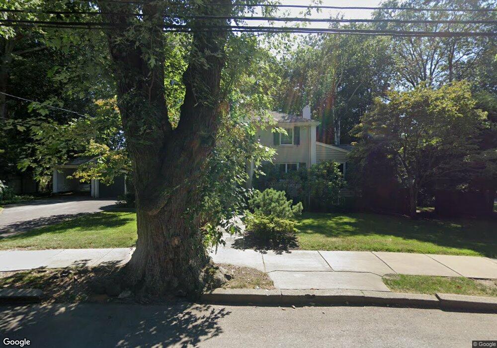
130 Berkeley St West Newton, MA 02465
West Newton NeighborhoodEstimated Value: $2,030,000 - $2,443,000
3
Beds
4
Baths
2,536
Sq Ft
$867/Sq Ft
Est. Value
About This Home
This home is located at 130 Berkeley St, West Newton, MA 02465 and is currently estimated at $2,198,330, approximately $866 per square foot. 130 Berkeley St is a home located in Middlesex County with nearby schools including Peirce Elementary School, F.A. Day Middle School, and Newton North High School.
Ownership History
Date
Name
Owned For
Owner Type
Purchase Details
Closed on
Apr 30, 2019
Sold by
Lazarus Carl B and Lazarus Joyce B
Bought by
130 Berkeley Street Rt
Current Estimated Value
Purchase Details
Closed on
Aug 1, 1983
Bought by
Lazarus Carl B and Lazarus Joyce B
Create a Home Valuation Report for This Property
The Home Valuation Report is an in-depth analysis detailing your home's value as well as a comparison with similar homes in the area
Home Values in the Area
Average Home Value in this Area
Purchase History
| Date | Buyer | Sale Price | Title Company |
|---|---|---|---|
| 130 Berkeley Street Rt | -- | -- | |
| Lazarus Carl B | $191,500 | -- |
Source: Public Records
Mortgage History
| Date | Status | Borrower | Loan Amount |
|---|---|---|---|
| Previous Owner | Lazarus Carl B | $85,500 |
Source: Public Records
Tax History Compared to Growth
Tax History
| Year | Tax Paid | Tax Assessment Tax Assessment Total Assessment is a certain percentage of the fair market value that is determined by local assessors to be the total taxable value of land and additions on the property. | Land | Improvement |
|---|---|---|---|---|
| 2025 | $19,224 | $1,961,600 | $1,271,000 | $690,600 |
| 2024 | $18,588 | $1,904,500 | $1,234,000 | $670,500 |
| 2023 | $17,713 | $1,740,000 | $961,700 | $778,300 |
| 2022 | $16,949 | $1,611,100 | $890,500 | $720,600 |
| 2021 | $16,354 | $1,519,900 | $840,100 | $679,800 |
| 2020 | $15,868 | $1,519,900 | $840,100 | $679,800 |
| 2019 | $15,420 | $1,475,600 | $815,600 | $660,000 |
| 2018 | $14,742 | $1,362,500 | $728,900 | $633,600 |
| 2017 | $14,294 | $1,285,400 | $687,600 | $597,800 |
| 2016 | $13,671 | $1,201,300 | $642,600 | $558,700 |
| 2015 | $13,035 | $1,122,700 | $600,600 | $522,100 |
Source: Public Records
Map
Nearby Homes
- 10 Ruane Rd
- 68 Mignon Rd
- 18 Sewall St
- 279 Chestnut St
- 1488 Washington St Unit 1488
- 222 Prince St
- 12 Inis Cir
- 39 Valentine Park
- 1639 Washington St
- 17 Gilbert St
- 0 Duncan Rd Unit 72925240
- 51 Bourne St
- 79 Chestnut St Unit 2
- 443 Chestnut St
- 1754 Washington St
- 308 Prince St
- 429 Cherry St Unit 11
- 283 Woodland Rd
- 66 Webster St
- 4 Hosmer Cir